Last week, we may have dipped into Alaska by most technical definitions of the Canadian-Alaskan border by visiting Hyder, but it didn’t quite feel like it. We left and ahead of us lay the North end of British Columbia, the Yukon, and finally Alaska proper. The roads up to all this were two legendary highways: the Stewart-Cassiar Highway (or simply ‘the Cassiar’) and the Big One, the Alaskan Highway (also known as ‘the Alcan’).
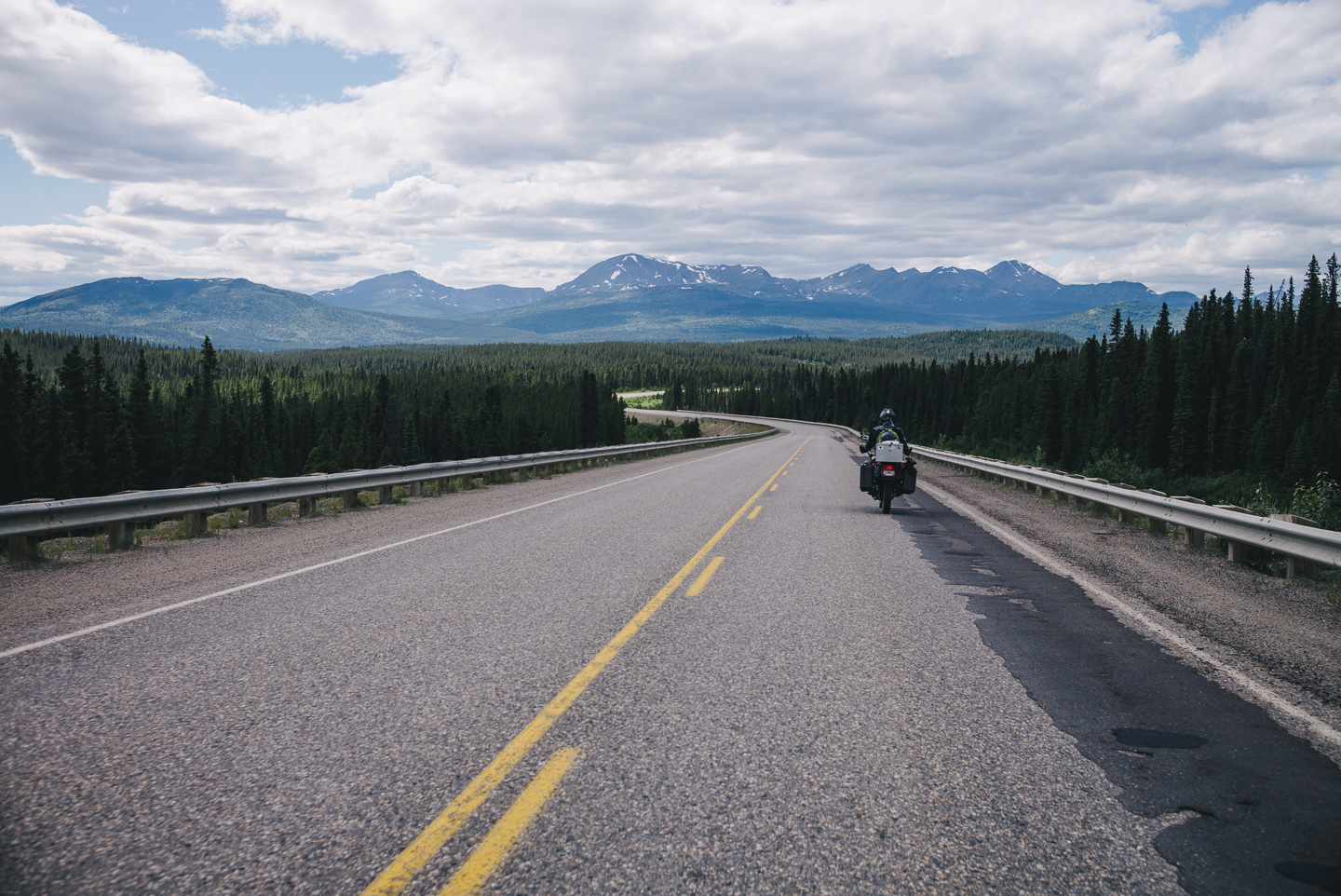
Setting off from Stewert and Hyder, Alaska we found ourselves on a long stretch of road that would eventually connect with the Alaskan Highway. We had over half a thousand miles ahead of us before we’d make it there.
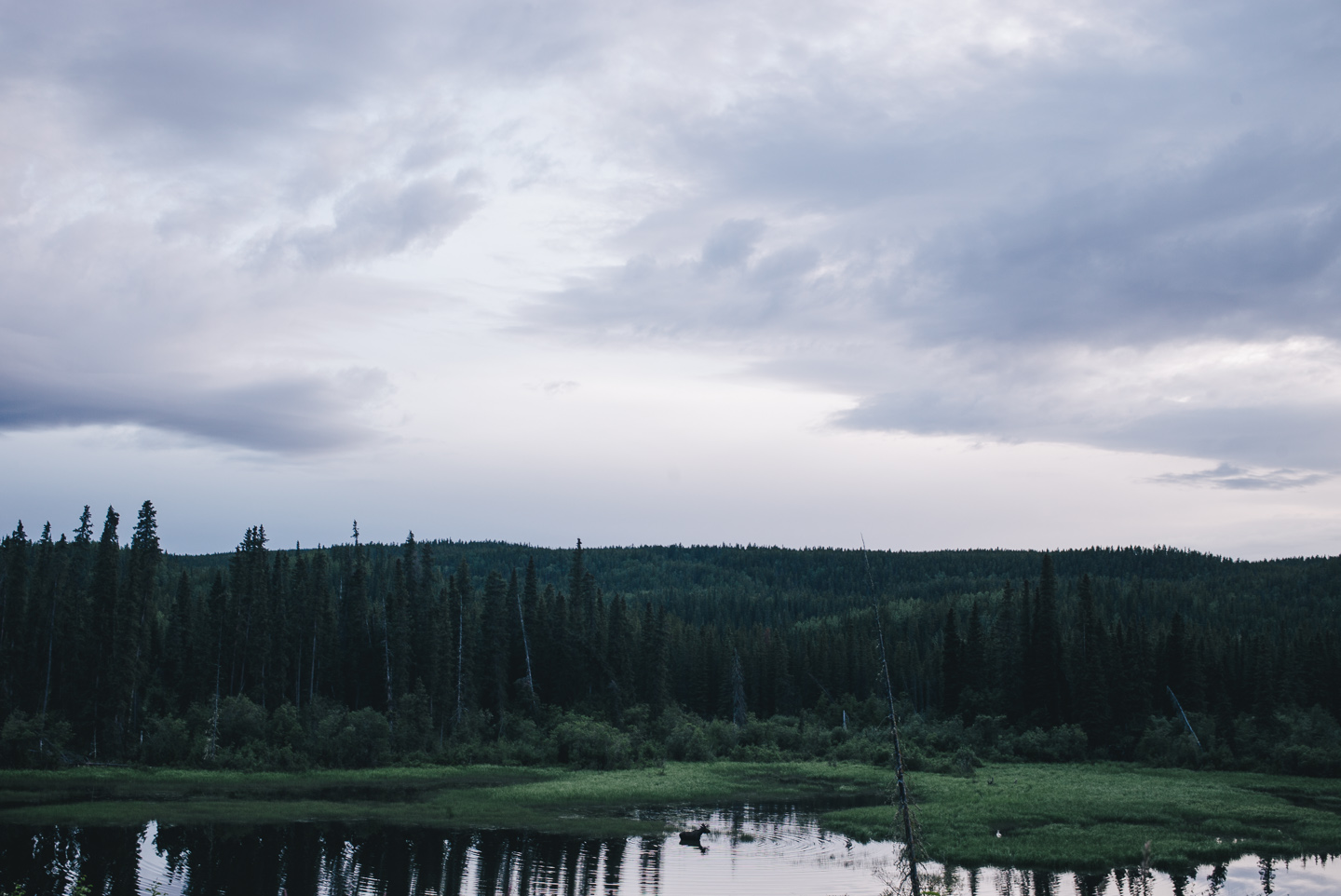
Our first stop from Stewart was Deese Lake. The road there was occasionally broken up into a gravel two-lane road and at times deteriorated into what could generously be called a ‘mud road’. The GT1000 handled all this fairly well, though. You get used to it quickly.
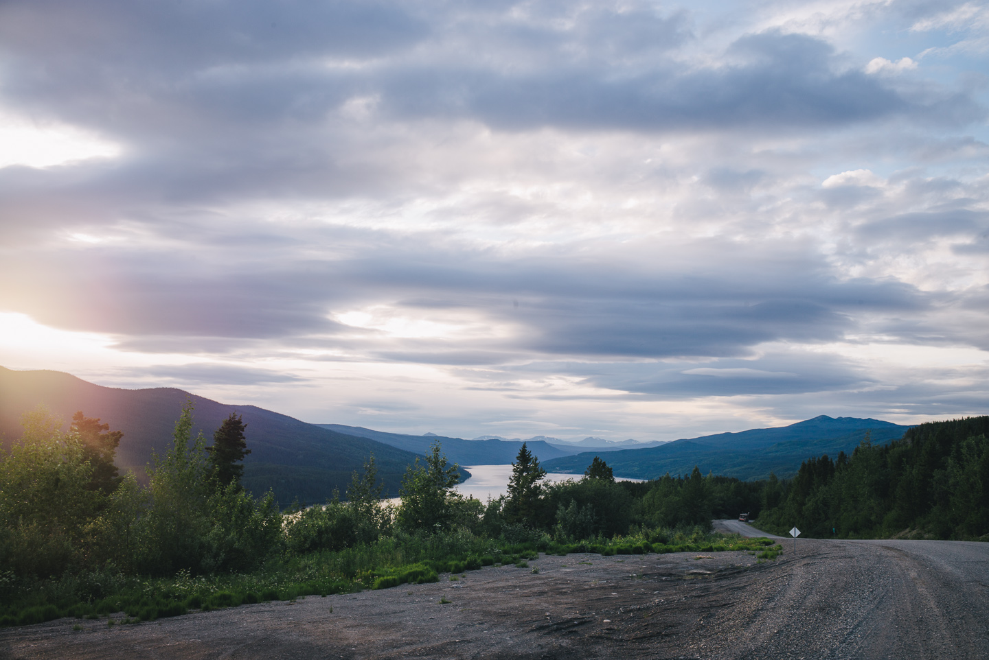
While Deese Lake’s Wikipedia entry made it seem like a veritable population center, there was nothing there but a store and a cafe set in the back of yet another, mostly empty disused grocery store. When we inquired about the pub and bar we’d seen signs for the locals laughed and mentioned they had been shut down.
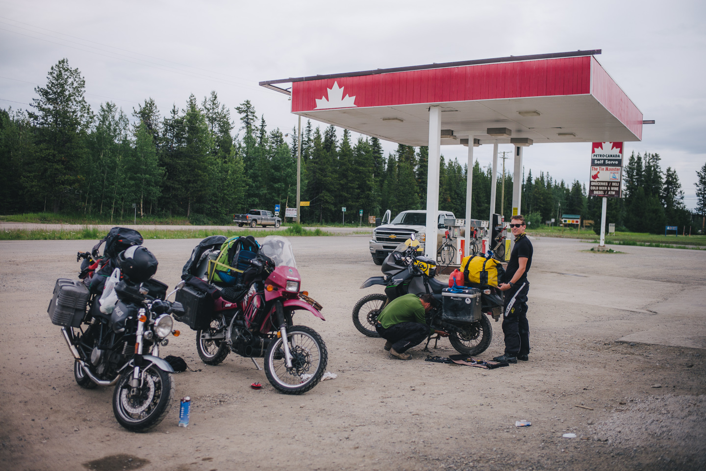
We met up with fellow adventurous rider Al Farland, who was on his way from Prudhoe Bay, Alaska to South America. A real nice fellow from Australia, who we were happy to share beers and food with. Which we uh, cooked and enjoyed in the gravel lot behind the few buildings off the Deese Lake main road, like the classy bunch we are.
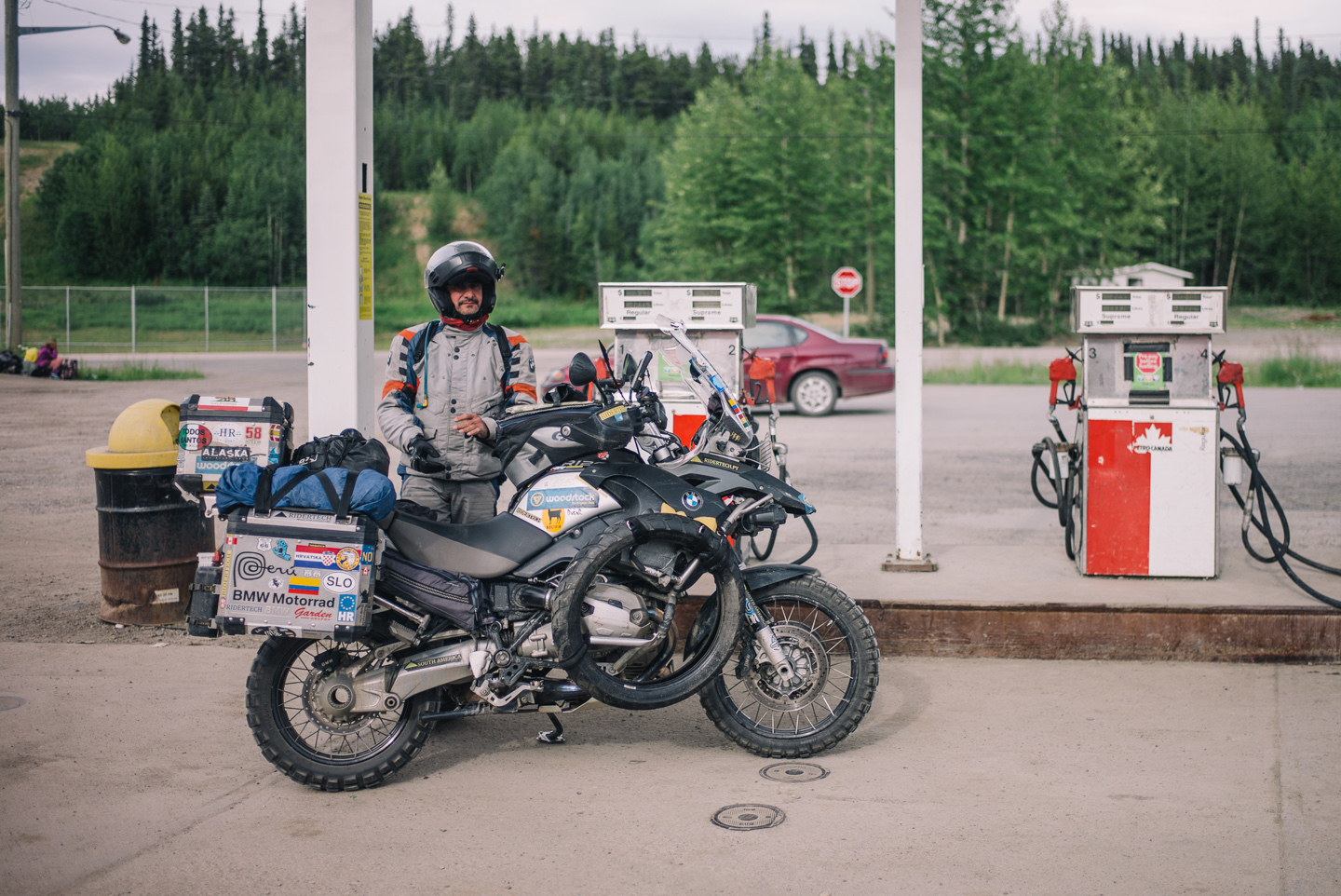
Some other riders were passing through as well. This guy was from Argentina, if I recall correctly. Not a very talkative guy.
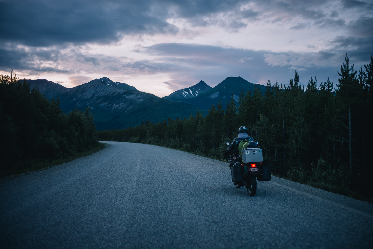
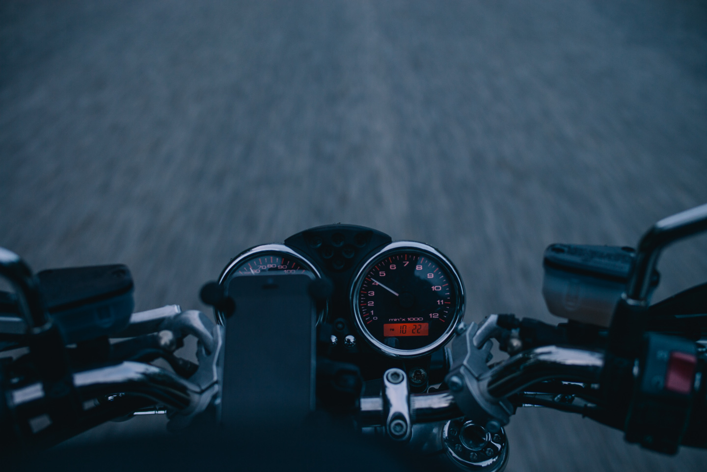
Al recommended Boya Lake campground, mentioned it being not too far away if he recalled correctly and rode down South as we decided to try and ride a bit further North for the day. ‘A bit further’ ended up being a good 120 miles — no fault of Al’s, mind you! — and we arrived exhausted.
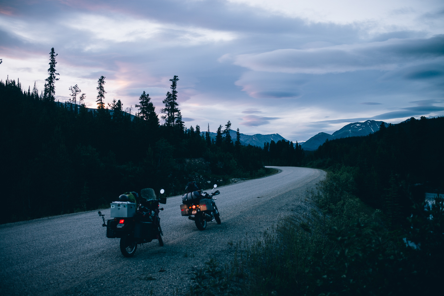
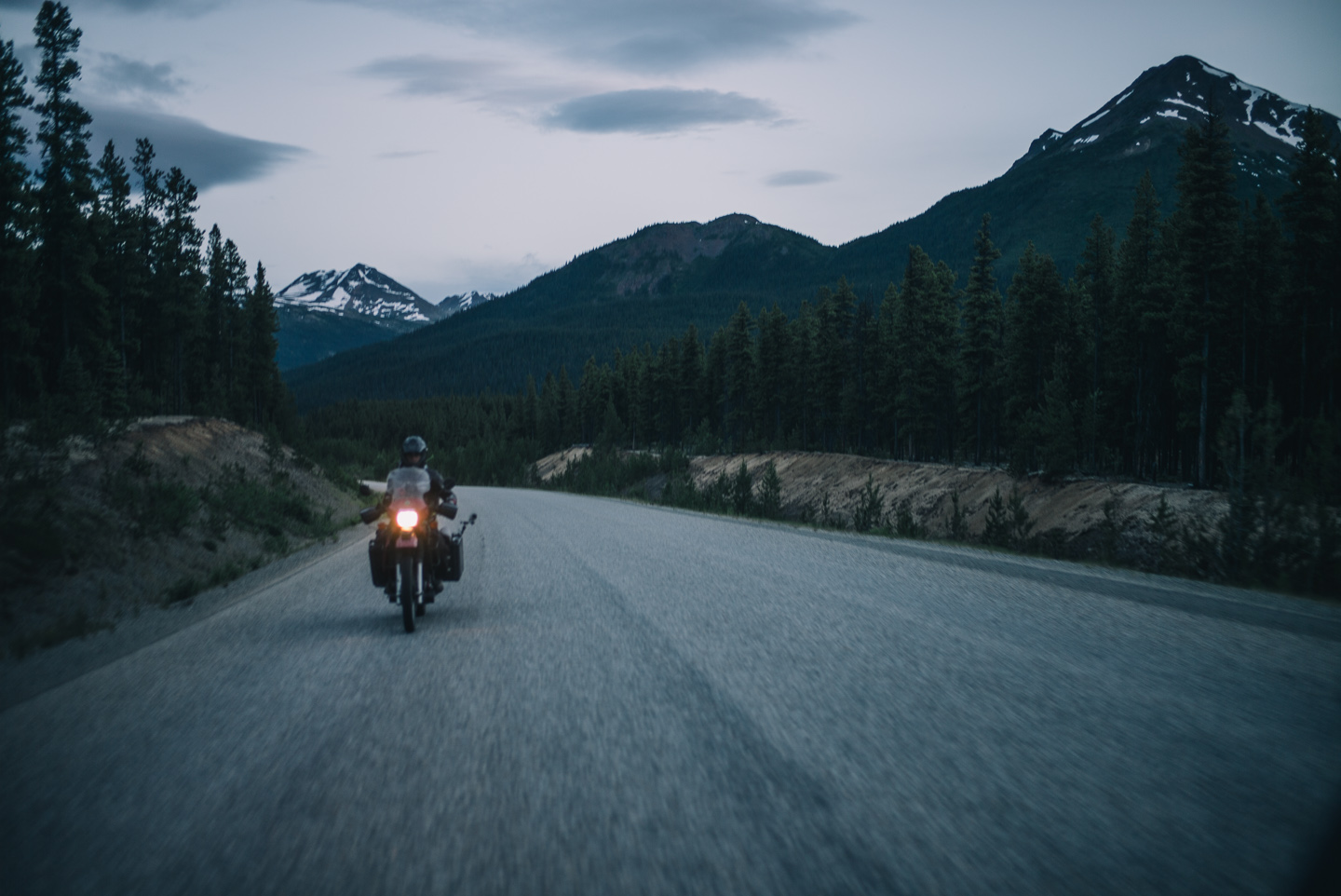
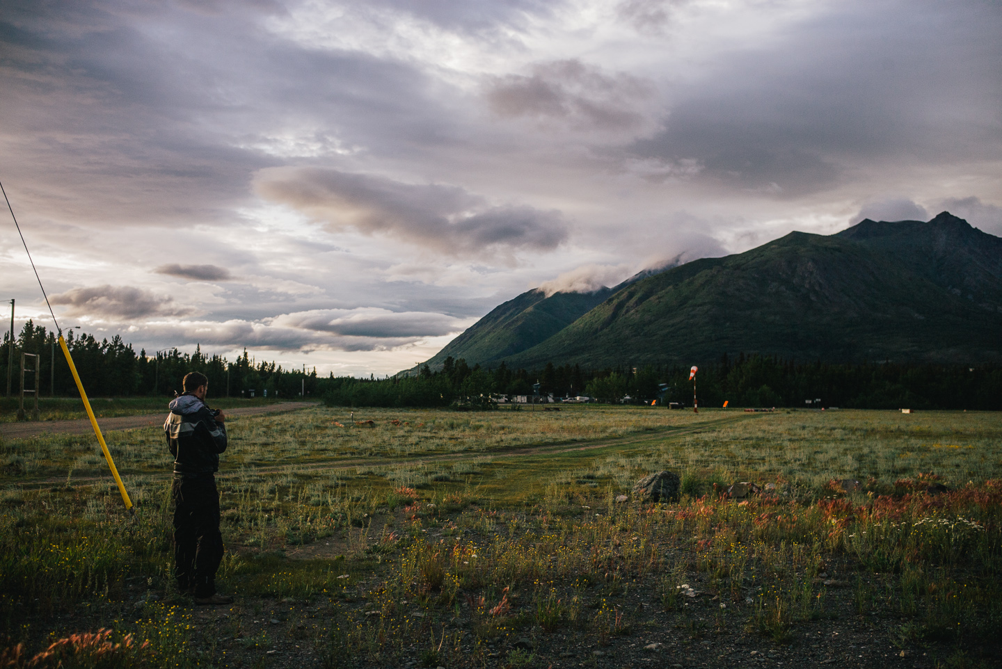
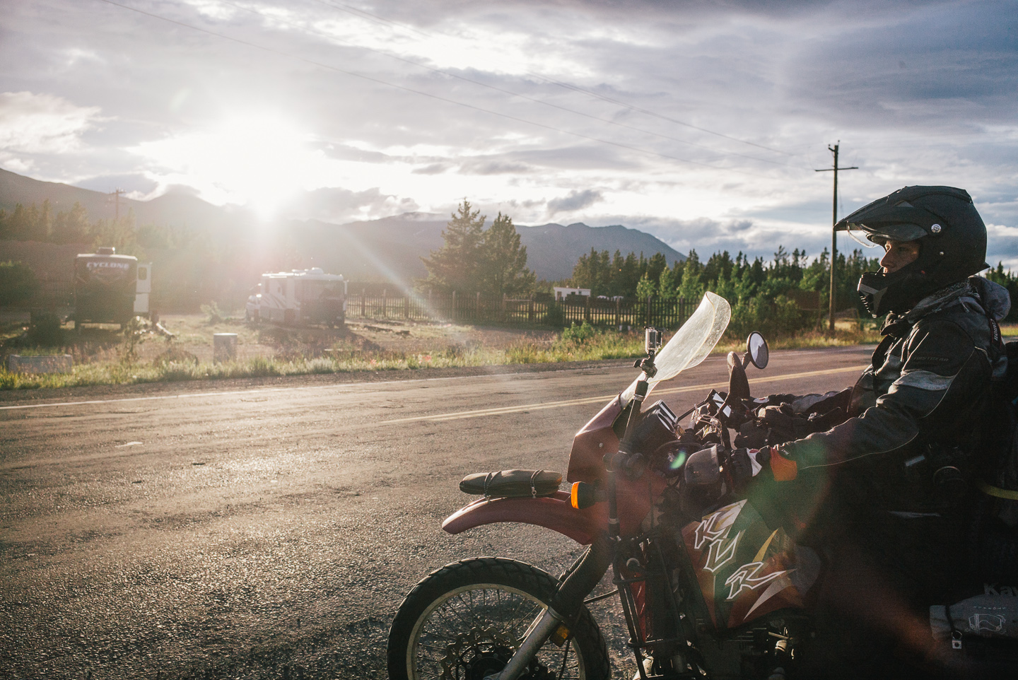
We rode until it was about 1 AM, with still light in the sky illuminating the road and its variety of wildlife. We saw a few foxes peel roadkill off the Cassiar, as well as plenty of squirrels and other small rodents. The views and light were stunning. Shelf clouds slowly drooped off mountains and drifted in the sky like rogue spaceships. Thick clouds of mosquitoes surrounded us every time we as much as slowed down a bit.
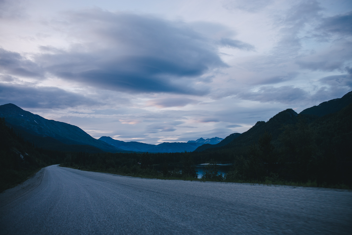
The next day we made some quick coffee and almost lost our minds seeing how close we now were to Alaska.
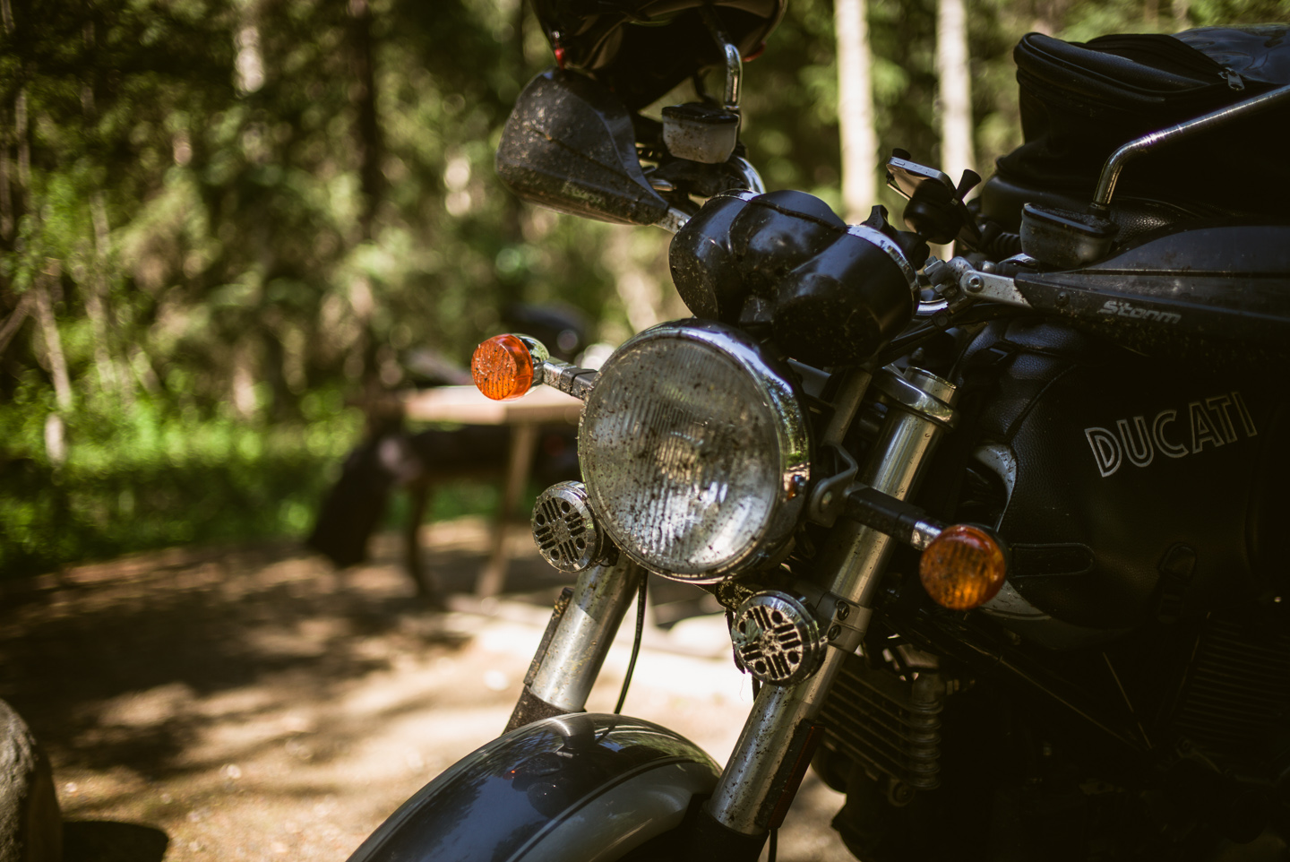
We also admired the sheer coat of bugs now covering the front of our bikes, jackets, and panniers. I think my ‘highlights’ were several large dragonflies, a few wasps and bees and a solitary butterfly stuck on the grill of my front-facing horns.
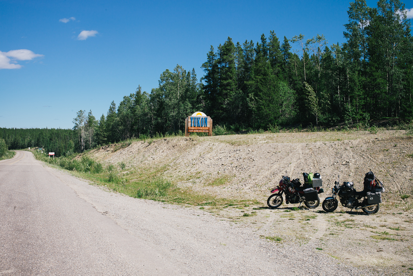
Anyway, we rode off. We rode about an hour or two to the Junction with the Alaskan Highway. Right before this sign, we turned a blind corner going about 50 miles per hour and we both almost lost our bikes into a giant pothole about the half the size of a small car. Such is riding on the Cassiar – another rider had mentioned they’d stopped to help an Italian rider on a BMW HP5 sport bike, and found his entire front wheel rim was bent out of rideable shape from a big pothole. His trip was over.
As for us: I was completely convinced I’d go down when I hit this particular horrendous hole in the road, but managed to keep the bike up. Hooray. I kicked it back into a higher gear and sped it up out of there, a big rooster tail of rocks dropping on the road as I threw them up with my rear tire. Stuart was ahead in a curve waiting to see if I’d show up, his face an expression of incredulity as I turned the bend. We were both okay. No damage so far.
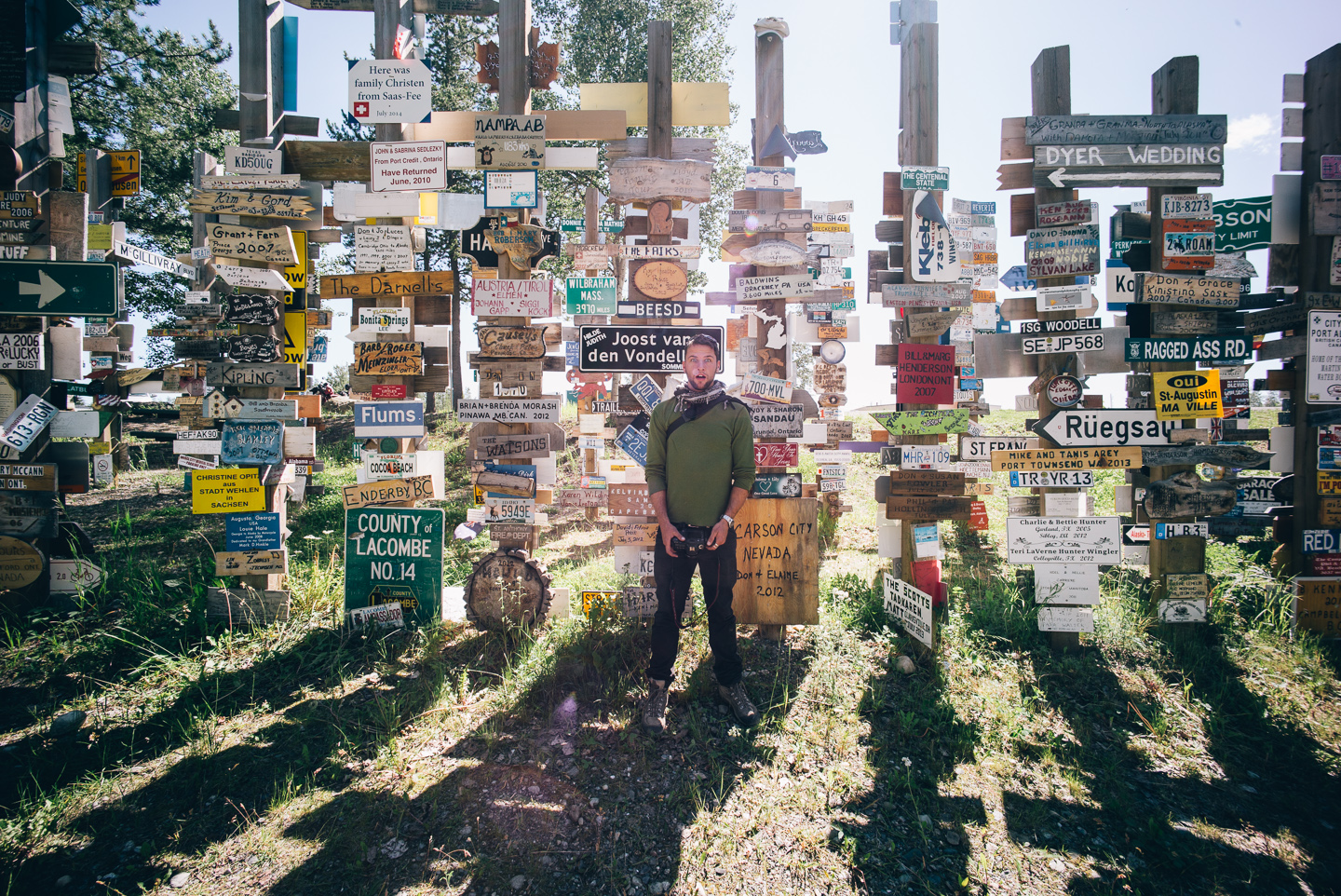
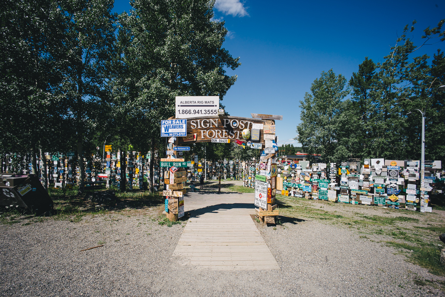
We gassed up, passed by the obligatory Watson Lake signpost forest, got some groceries while there and rode out towards Alaska…
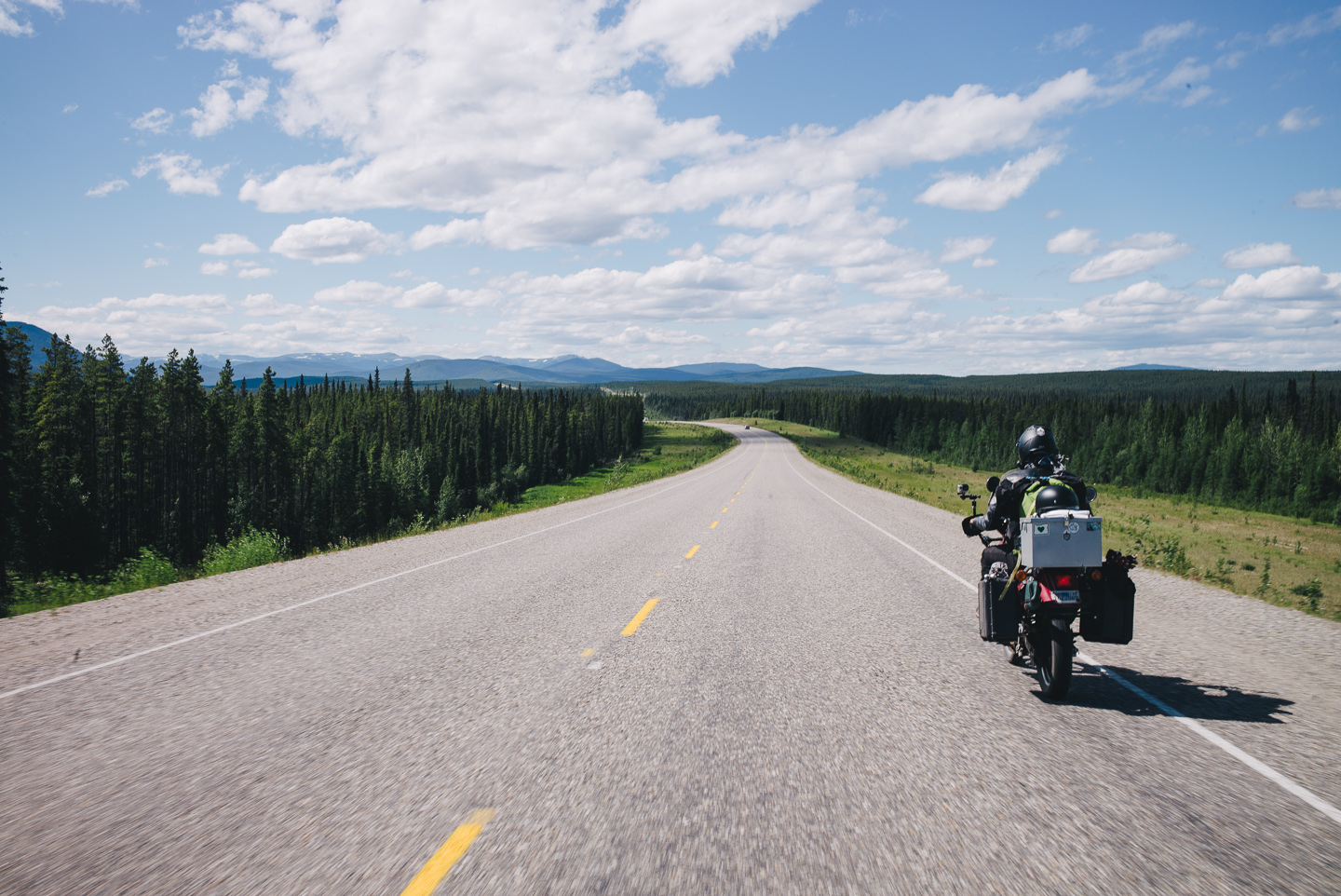
On the Alaskan Highway at last!
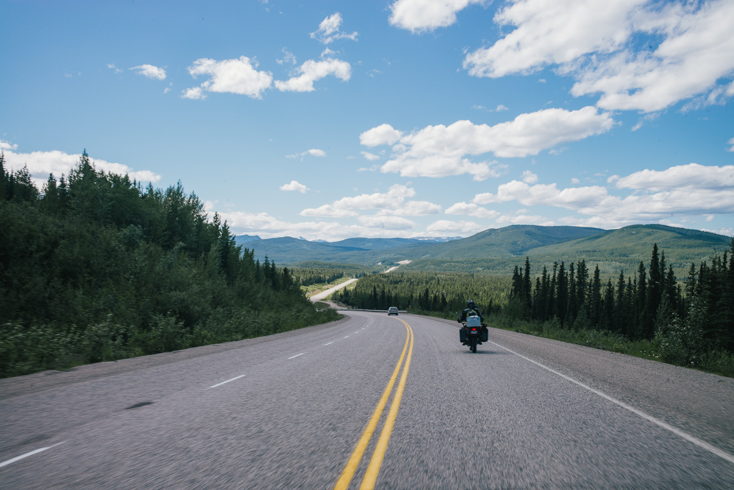
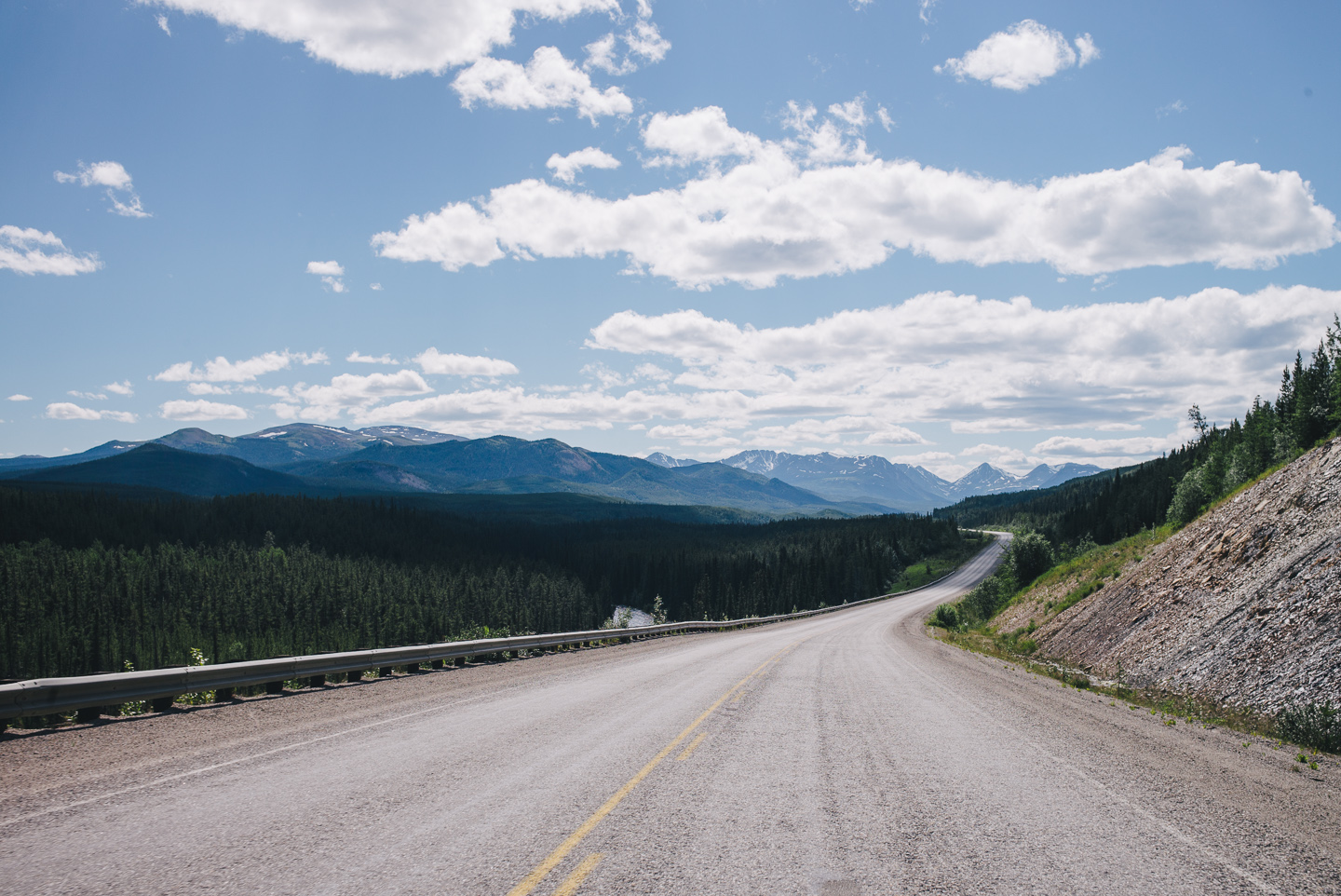
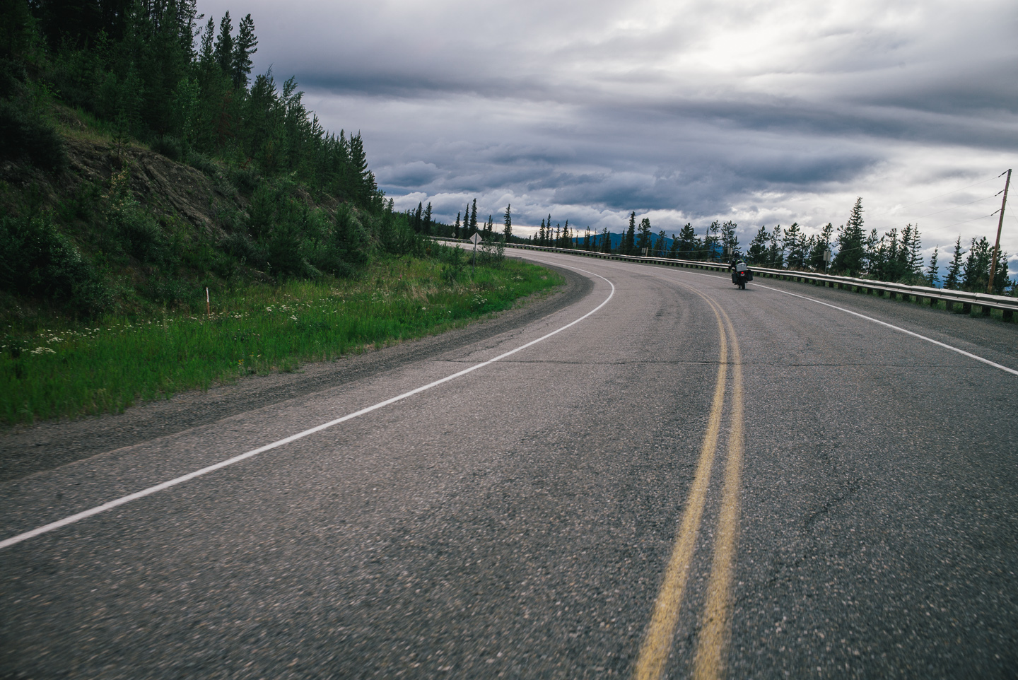
Unreal views on every turn, and very decent pavement. I may or may not have gotten on my knees to kiss it after the Cassiar.
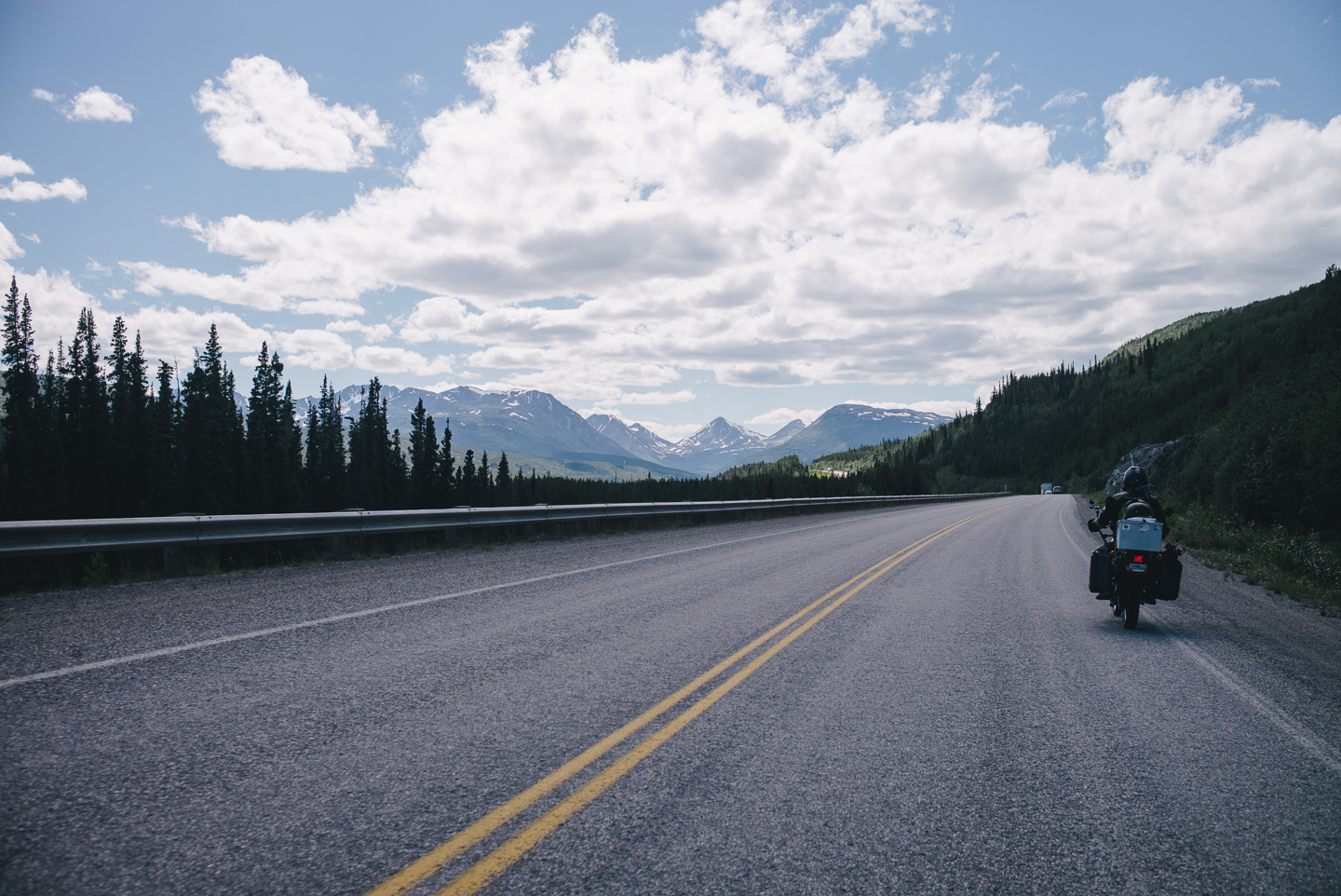
The few times you see bright neon orange signs marking ‘highway construction’ on the Alcan it usually means rough gravel shoulders, maybe some rougher pavement – not the complete lack of it like we found on the Cassiar.
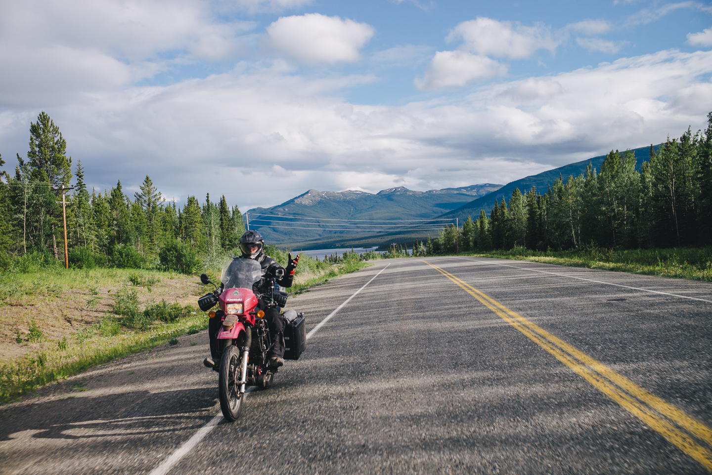
The road shaping up and the scenery at times becoming just endless fields of pine trees, we started dancing and moving on the bikes again, or just exercising our manual-camera-use-while-riding skills.
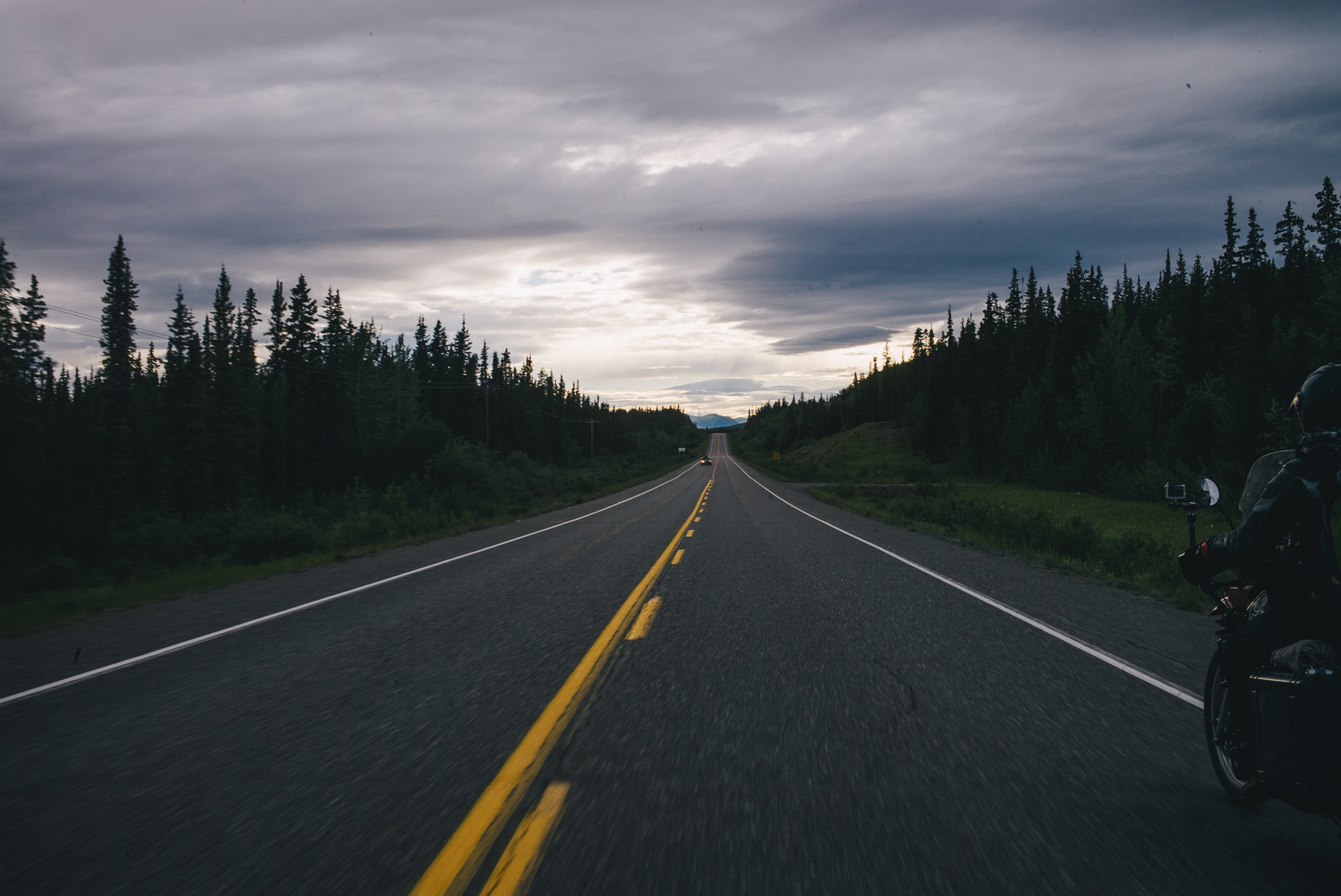
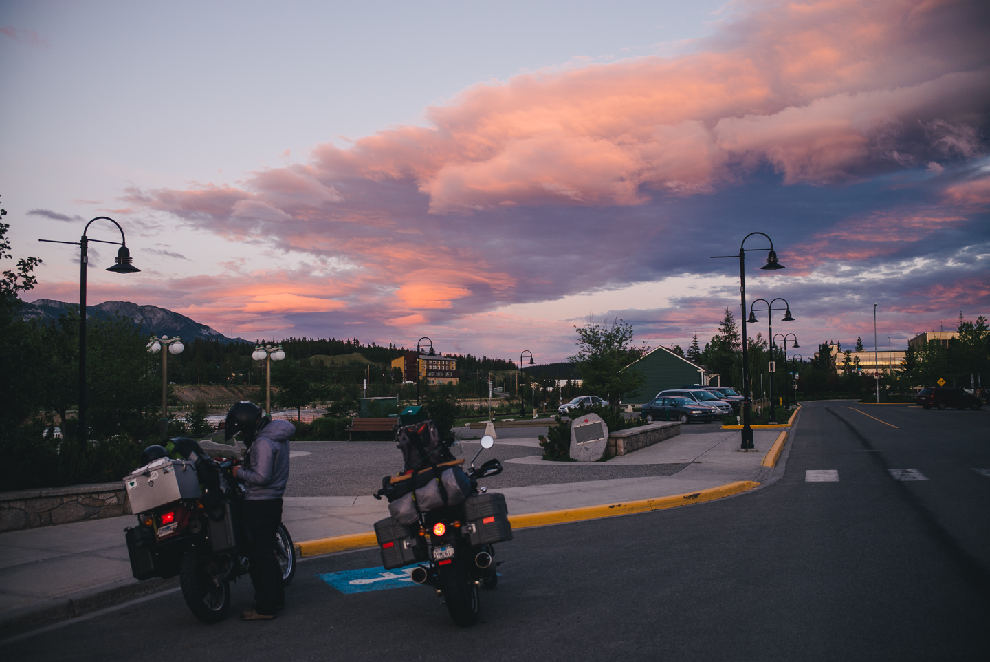
We did eventually end the almost 400-mile day in Whitehorse, our goal. We were greeted with a gorgeous sunset and a rather uninteresting town. Fun facts: Whitehorse has the highest per-capita alcohol consumption of the North Americas (or so we were told while there)! This led to our being rather laughed at when we asked at a bar if that particular bar was the only one in town. No, the girls laughed- “there’s quite a few.”
Having seen that part of Whitehorse, we rode the next day for what I presumed to be the long-abandoned mining town of Skagway. In my wisdom I’d somehow ended up mixing it up with Kennicott, a truly abandoned mining town with a glacier further up into South-Central Alaska. It wouldn’t matter much – our suitably low expectations were exceeded with one of the best adventures on our trip so far.

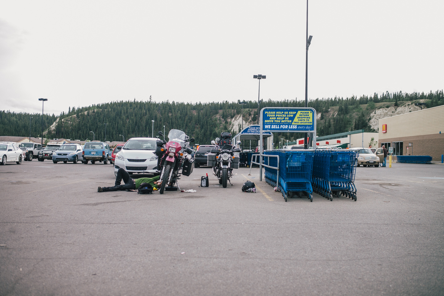
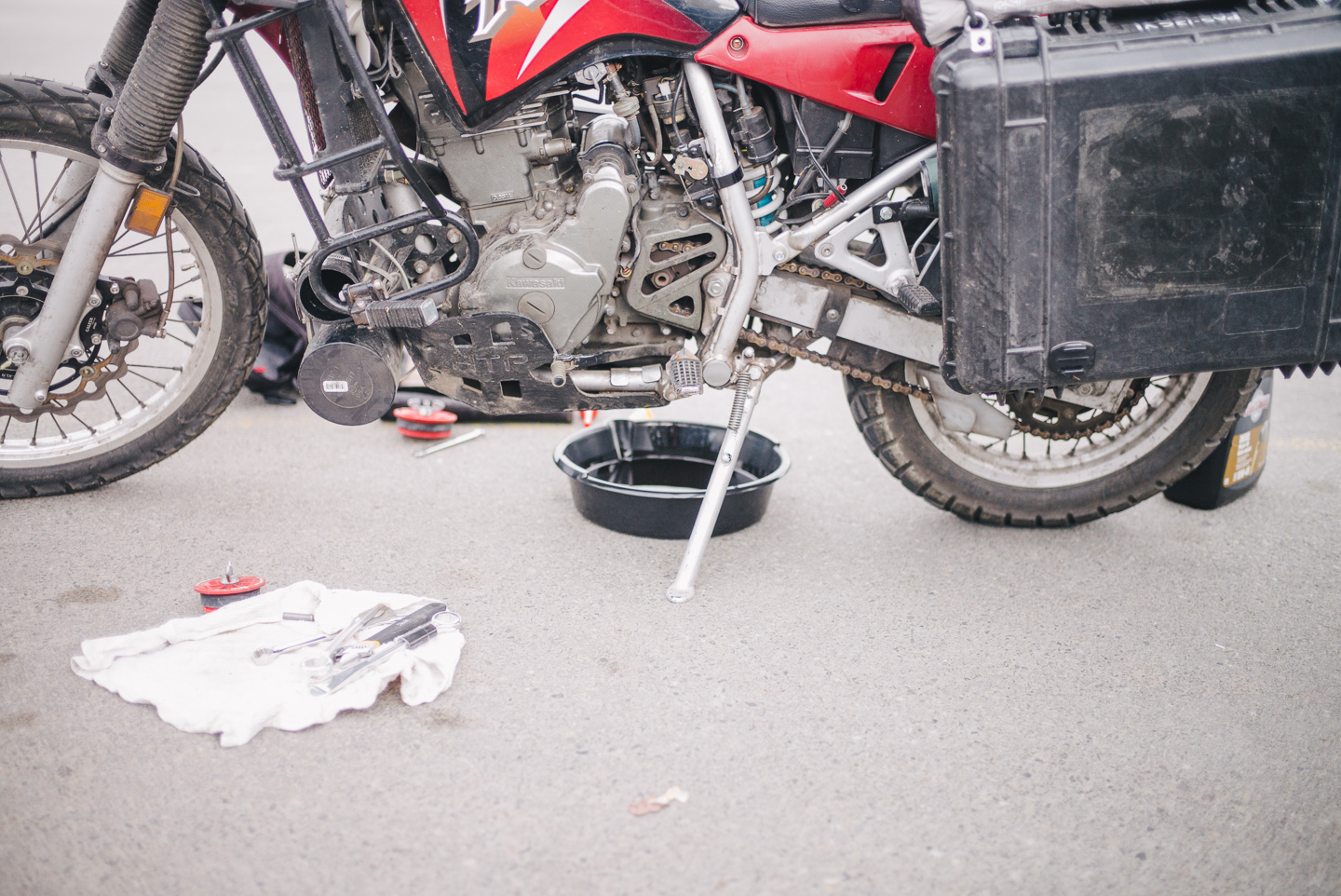
First, though, we needed to do some maintenance: motorcycle chain cleaning and lubrication, a full oil change (with diesel engine 15W-40 oil, we are on a budget after all) and my re-fitting a new 12V socket to my bike after my old one got waterlogged in Portland (I only found out about this in Seattle, when the iPhone charger stopped working. I pulled the charger out of the 12V socket and found an inch of rusty, dark brown water in it. Yuck). The new one from Cycle Gear lacked a fuse or SAE hookup to my Battery Tender quick hookup, but that was easily remedied with some cable stripping and fitting the end of my old 12V socket to the new unit.
Not to get ahead of myself: the road! Ahead of us on our trip lay the Klondike Highway directly North of Whitehorse, which would take us into Alaska proper from the Yukon Territory. Taken South to its terminus, however, it goes to Skagway. It seemed only proper that we’d camp for a night and check out the entire Yukon Highway 2 — or Klondike Highway — for ourselves.
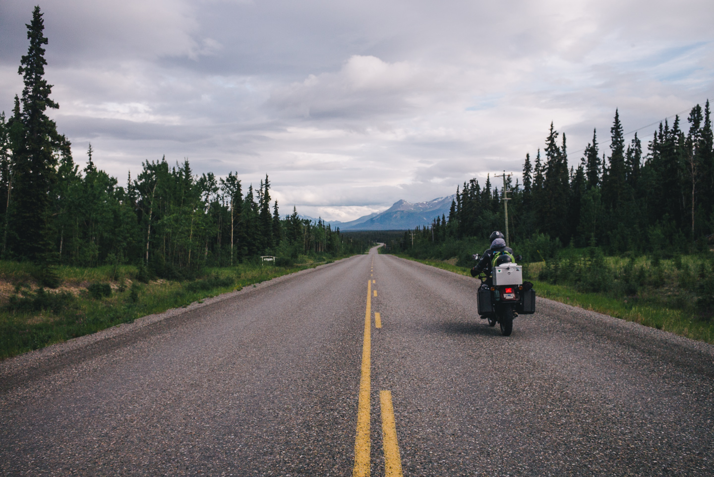
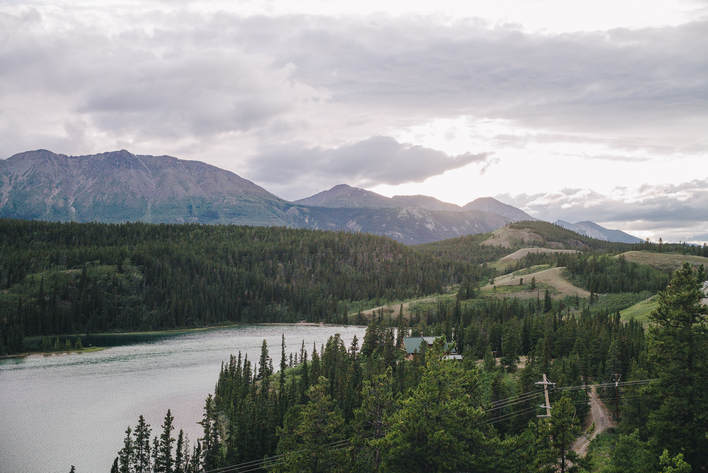
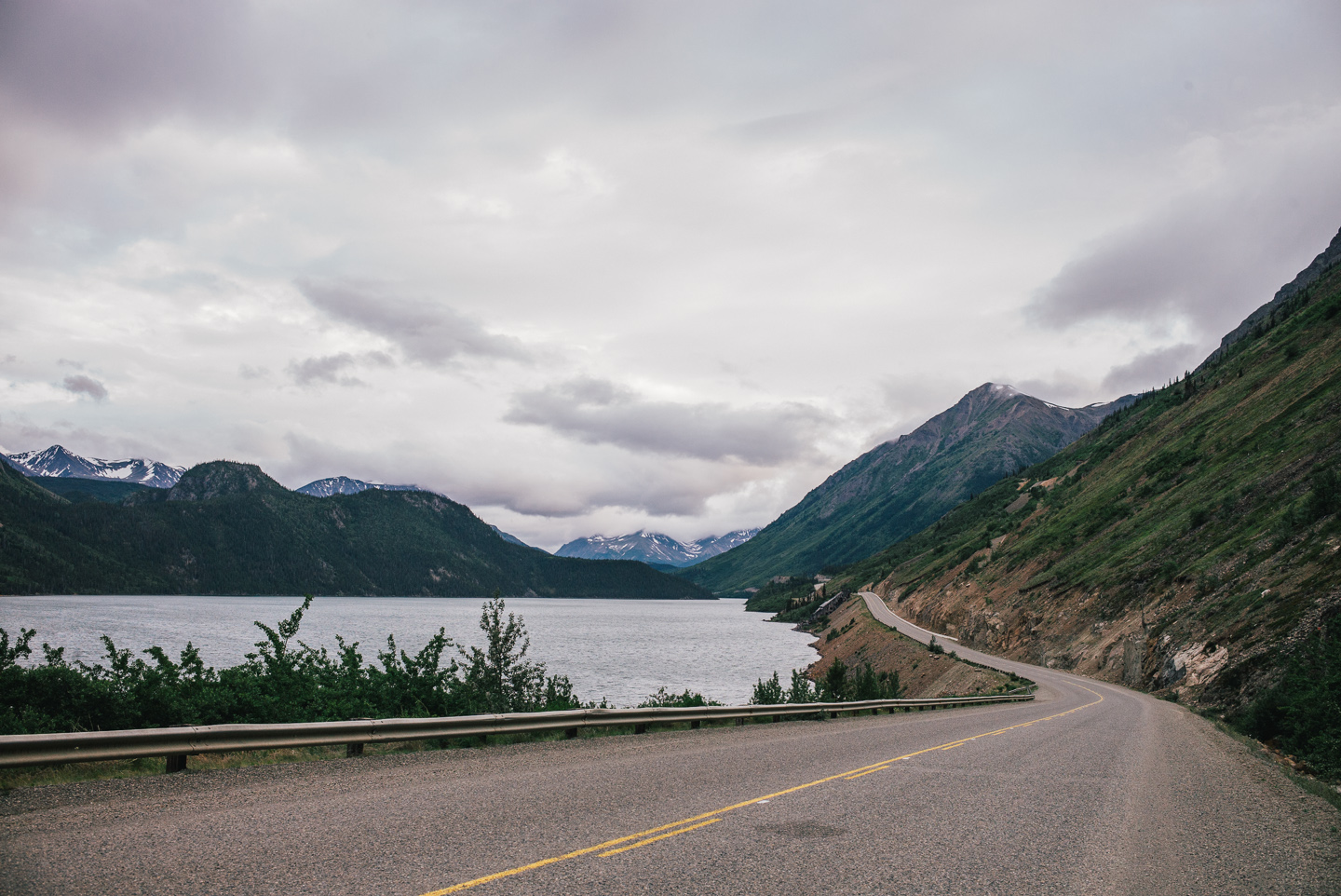
And what a ride it was. This isn’t one you typically find in the ‘recommended rides’ section for Alaska, for some reason, and it was one of the most incredible ones of our lives.
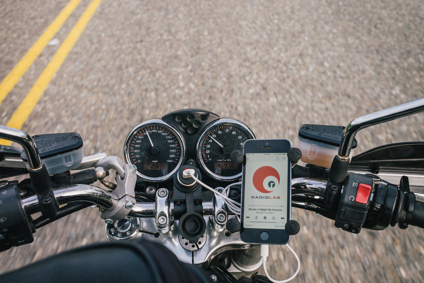
Radiolab keeps us company!
We stopped often. We already left late after the oil change, but Carcross had some great views, and so did the lakes along the way.
Then, when we rounded yet another beautiful mountain bend when we stood face to face with the unreal sight of huge, ragged mountain peaks being fogged in with a big cloud front. This was the legendary White Pass, a passageway to Alaska and a well known pass from the Gold Rush. Right now, we’d already been told that it was holding thick fog and rain on the seaside from entering the Yukon.
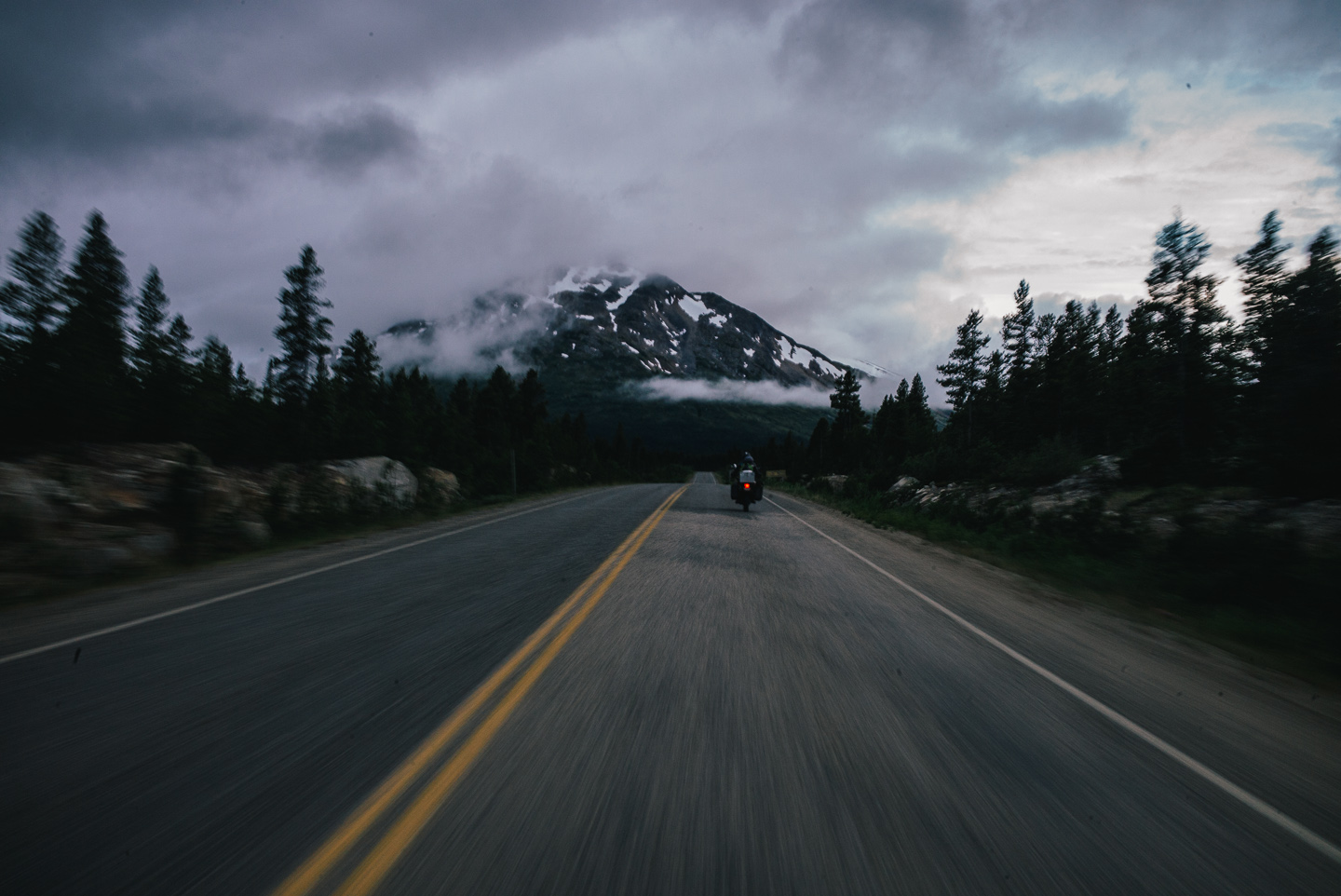
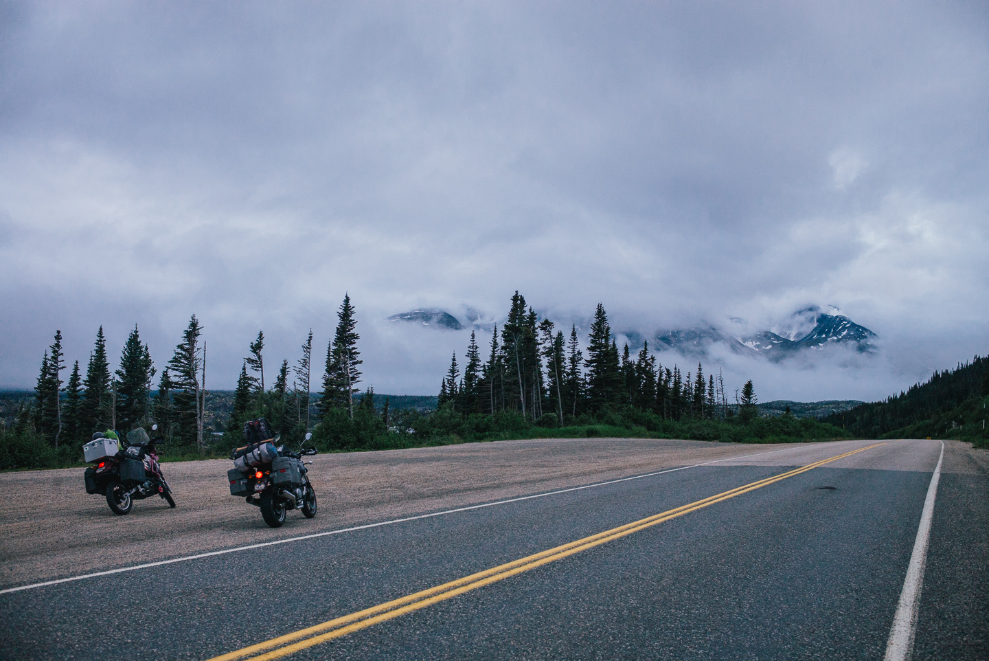
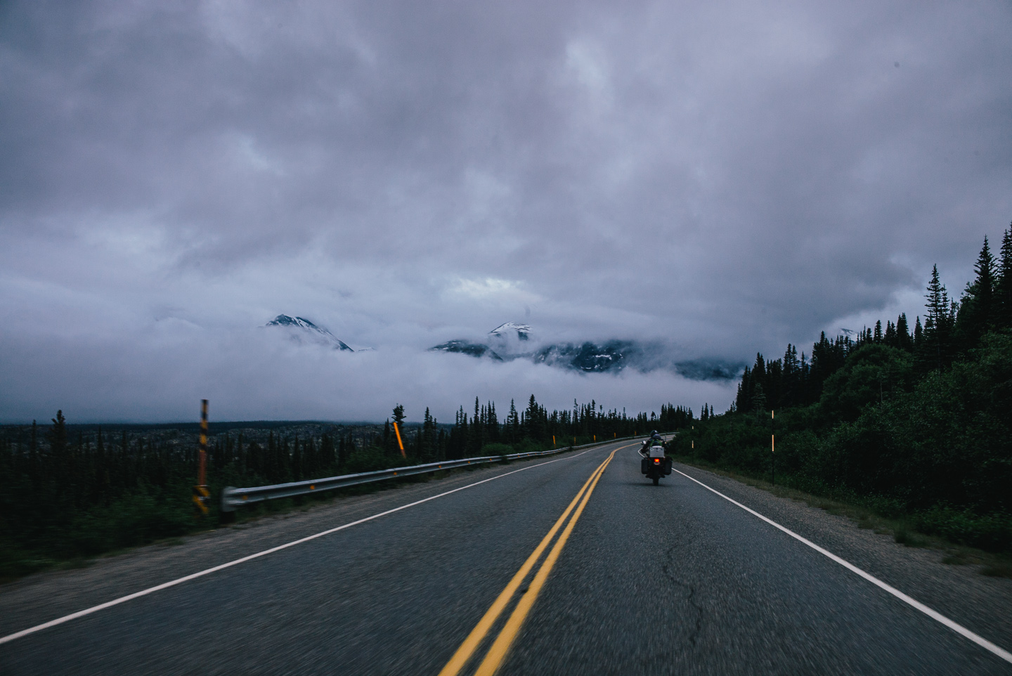
And we were about to ride right into it.
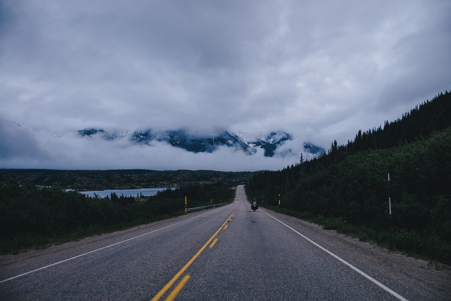
It wasn’t pretty. Cloud fronts that strike the White Pass usually come from the Pacific Ocean, where the big fjords of Skagway and Haines channel them inland and onto the mountain slopes. The ride into Skagway is usually beautiful, but our visibility was about a bike’s length. Stuart’s taillight would occasionally vanish into a thick bank of fog or fade back in when the road got wetter.
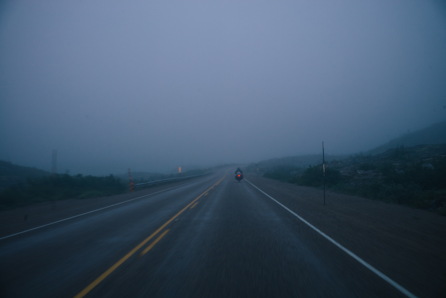
Incredibly cool scenery.
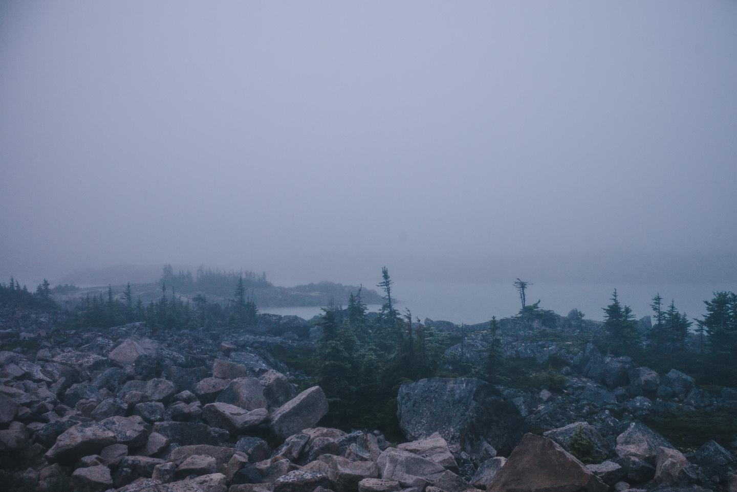
We reached the border wet as a bunch of dogs. The US border agent was his usual brand of unfriendly, this time asking some strange questions on my previous marriage before letting me in with an utterly bored expression.
We rolled into Skagway, not more than a few buildings of it visible and stopped next to the Red Onion, something that looked like a bar that had just closed. It was 30 minutes past midnight. We were debating our plans in the cold and wet when a voice shouted out of the fog: “Nice bike!”. “Thanks!” I yelled back, which immediately was responded with “Not you, jackass, *his* bike!”. Two somewhat drunk fellow KLR riders from Victoria walked up and struck up a conversation, shared their bottle of liquor and guided us to the bar that was still open. The Station.
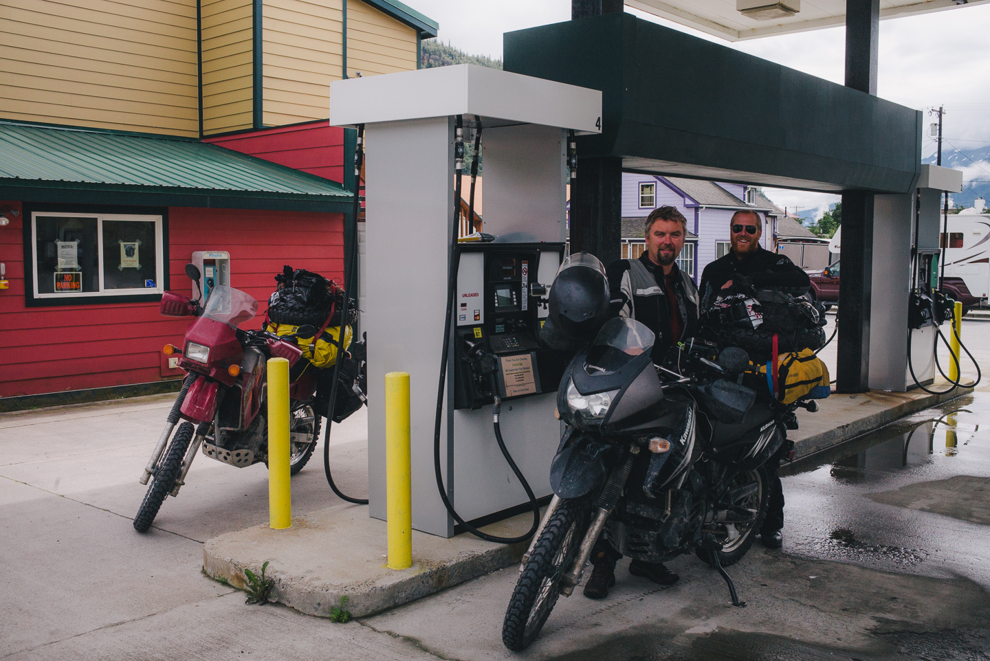
The Station is a bit of a phenomenon in Skagway. Not only is it the bar the locals seem to go to the most, it is also open until or past 4 AM — something I hadn’t seen in the US since I’d left the Netherlands — and it has a few rooms for rent above the bar, which is nicely named the Morning Wood Hotel.
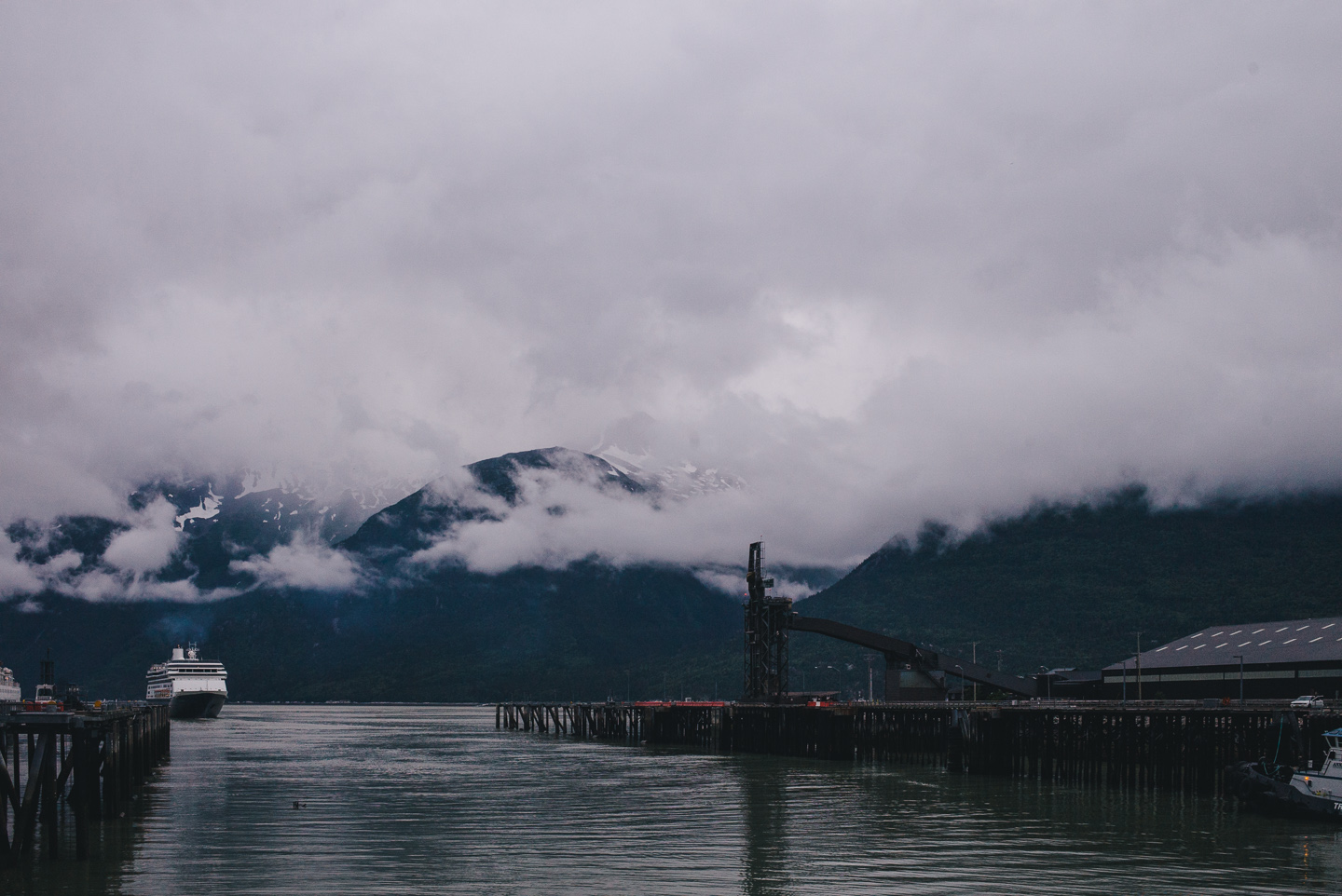
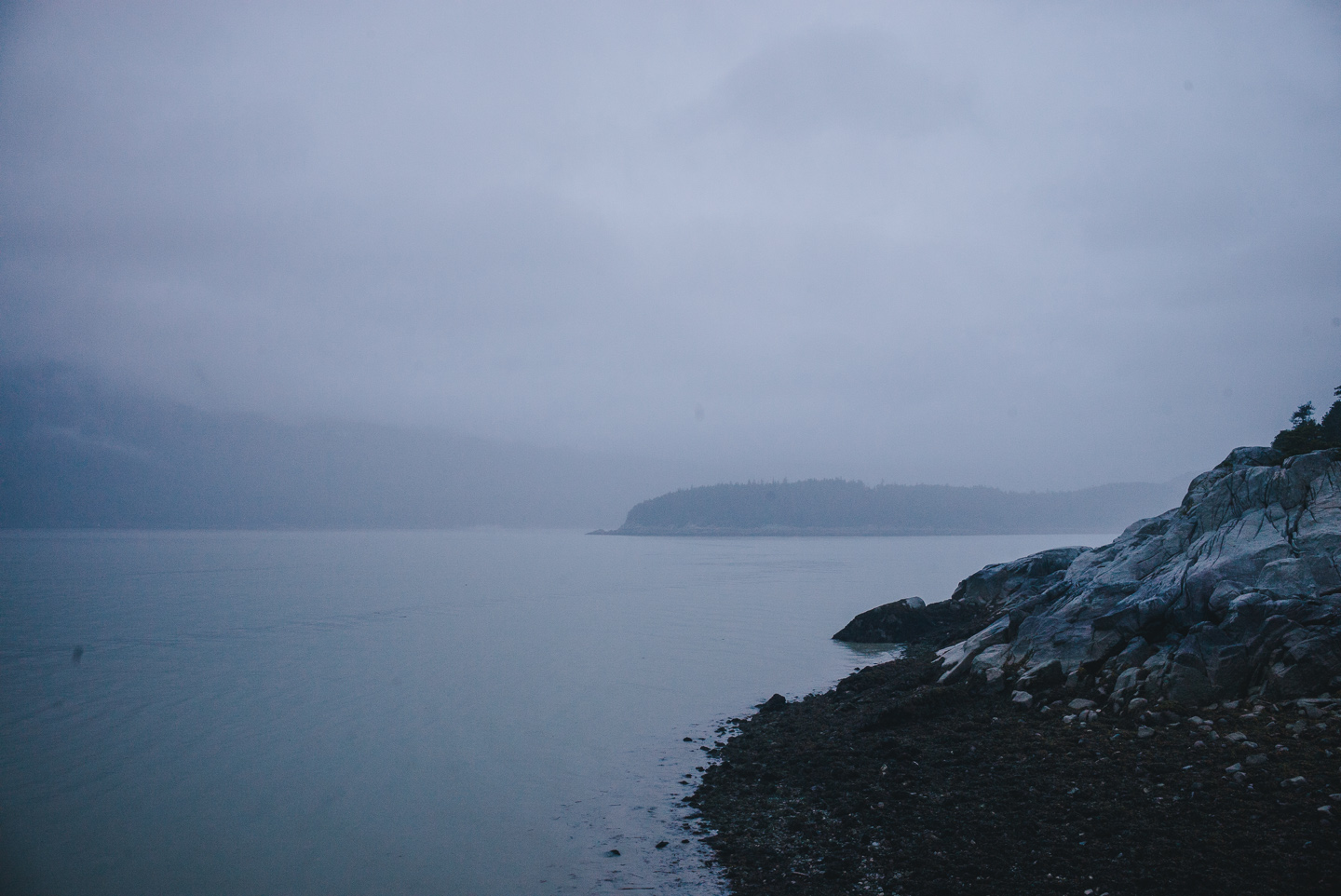
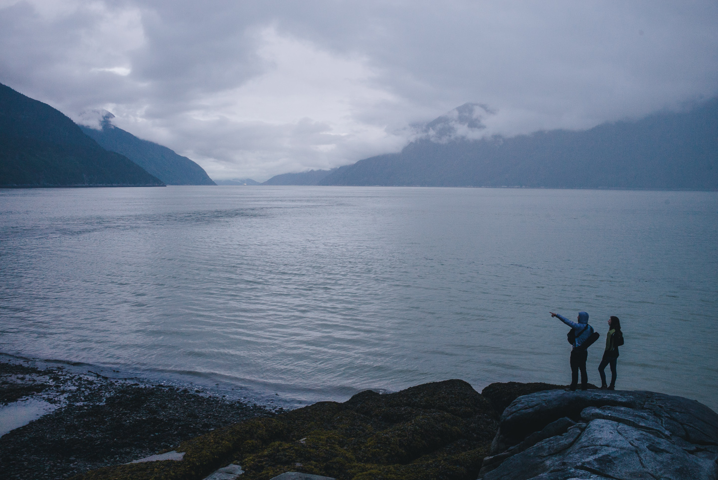
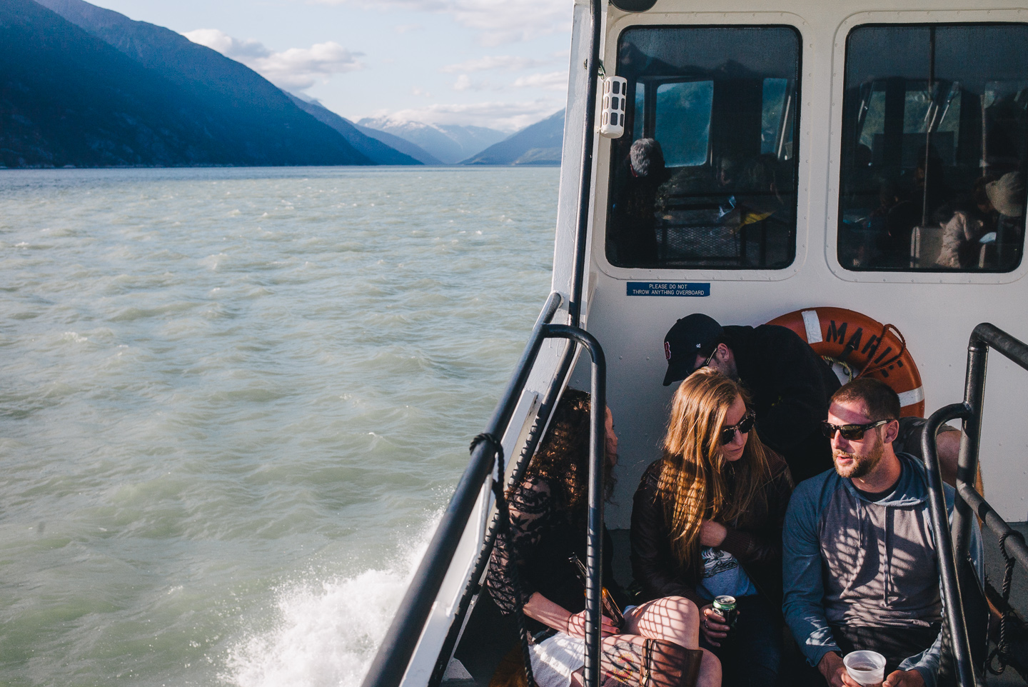
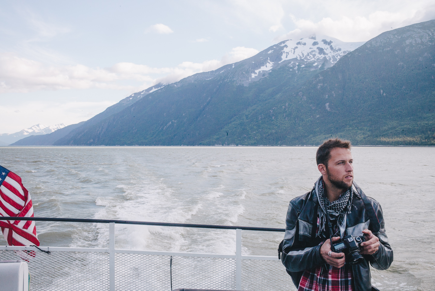
We met several locals there and spent the next few days hiking and exploring the area. We took a ferry to Haines, checked out Yakutania Point as well as Dyea (which is not pronounced like this), the old settlement that supported Skagway in the booming gold rush times.
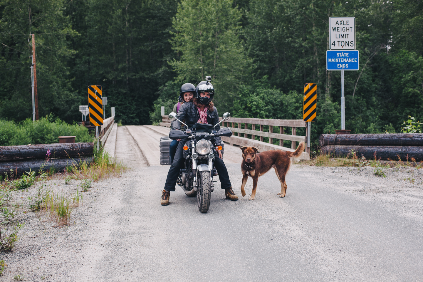
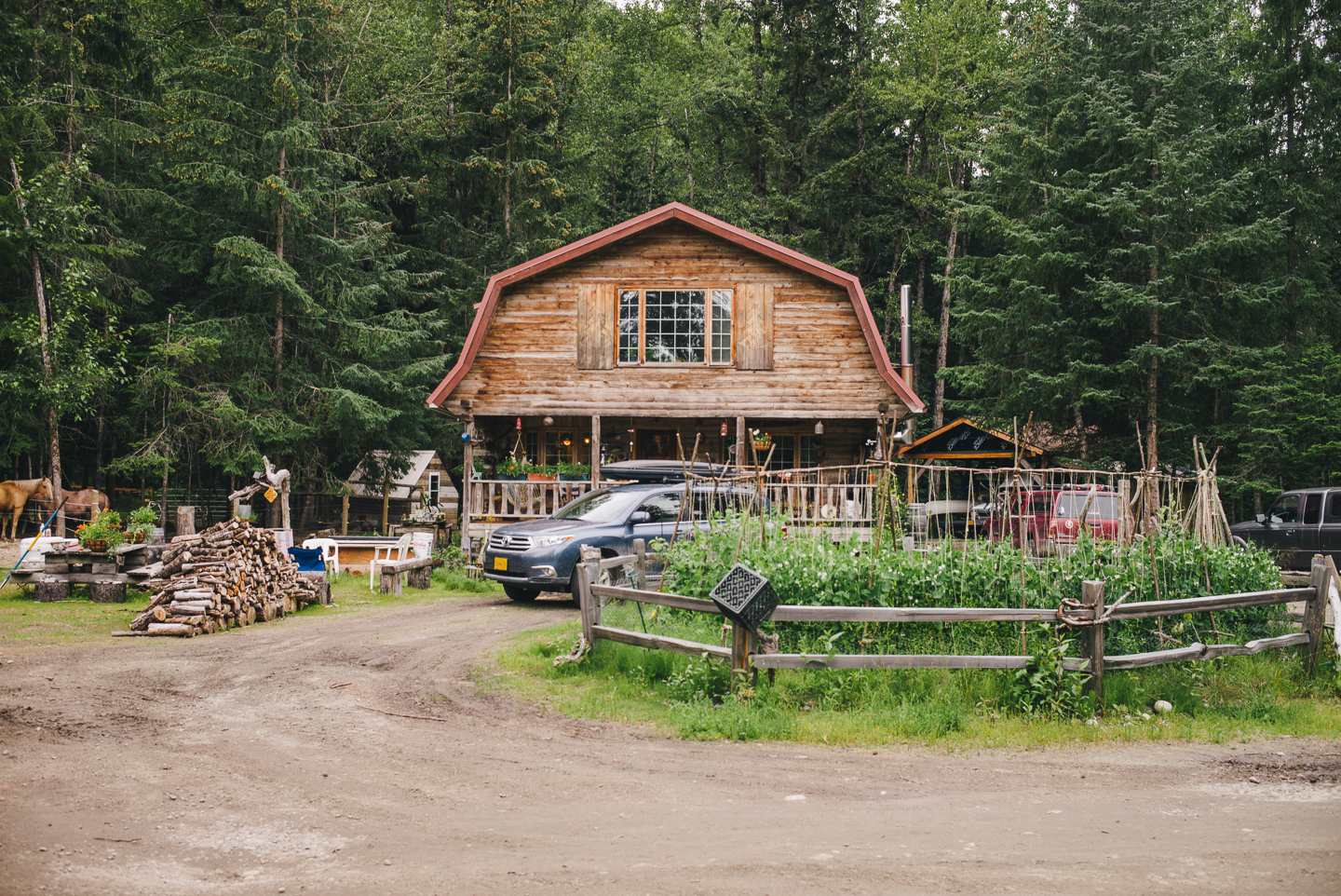
People here are highly self-sustaining. It was incredibly inspiring to meet Hillery’s (a girl we met at the local bar) family, who have a homestead in Dyea that is entirely built by them. When we toured their property, they were building numerous beautiful small wooden cabins.
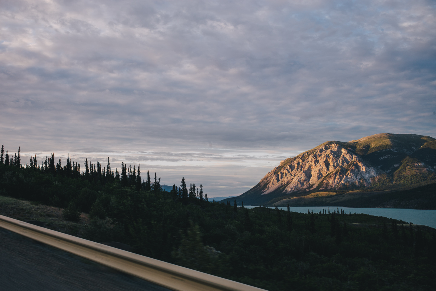
When it was time to leave, we were blessed by the weather gods with an actual view of the White Pass on the way out. Breathtaking and impossible to truly capture in photos, the views go on forever.
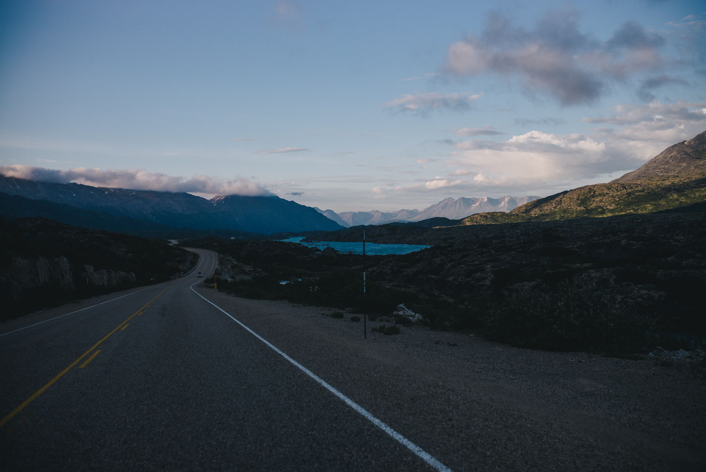
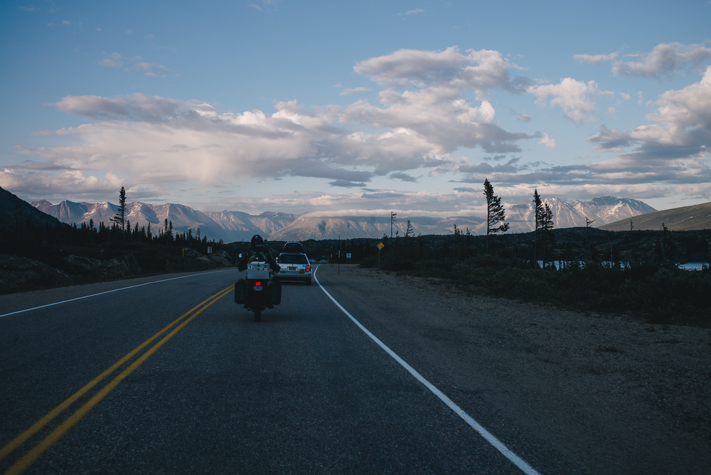
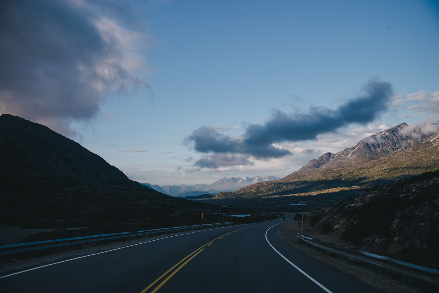
Small lakes and marshes form the colorful valley between the beautiful peaks, where we cross the border back into the Yukon.
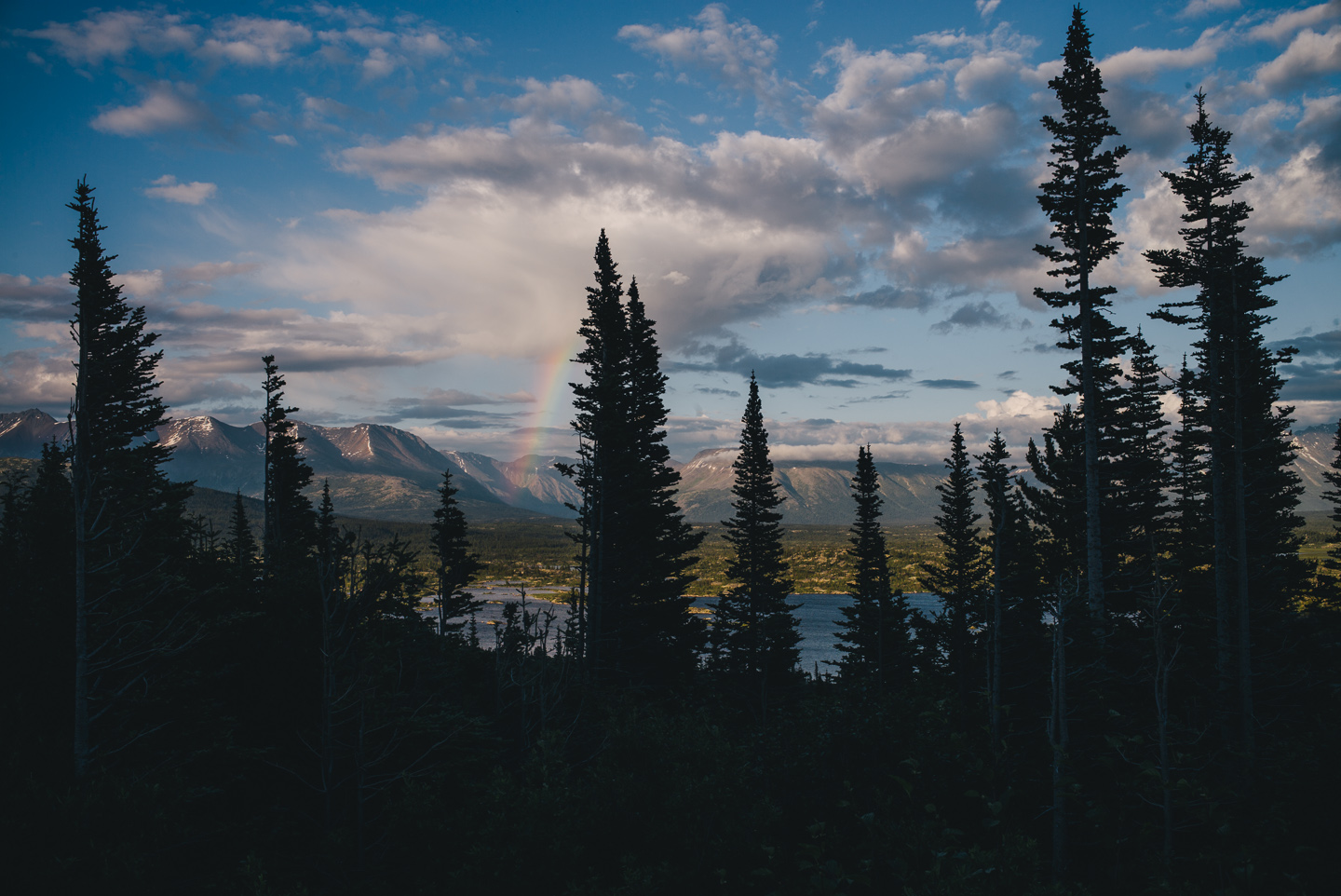
Got treated with an unreal view and rainbow on the way out.
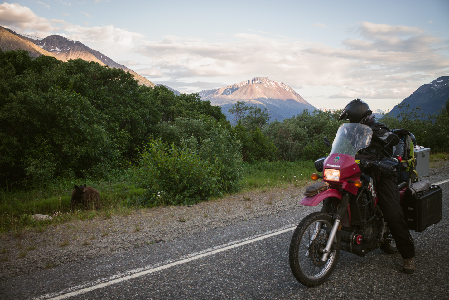
Stuart met some wildlife. On this road we saw a giant moose, a bobcat, some foxes, and this little brown bear.
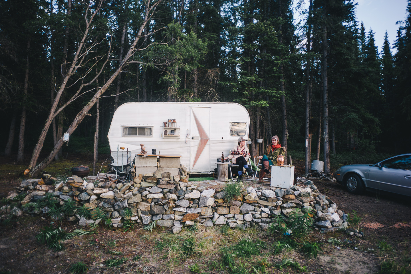
We spent a night camping on the lake near Carcross with the girls we met in Skagway – a difficult goodbye, given the quality of the company and the scenery.
We’re likely returning to Skagway later on this trip. For now, though, crossing the Yukon was ahead – and properly entering the large landmass that is Alaska proper. All of that next week.
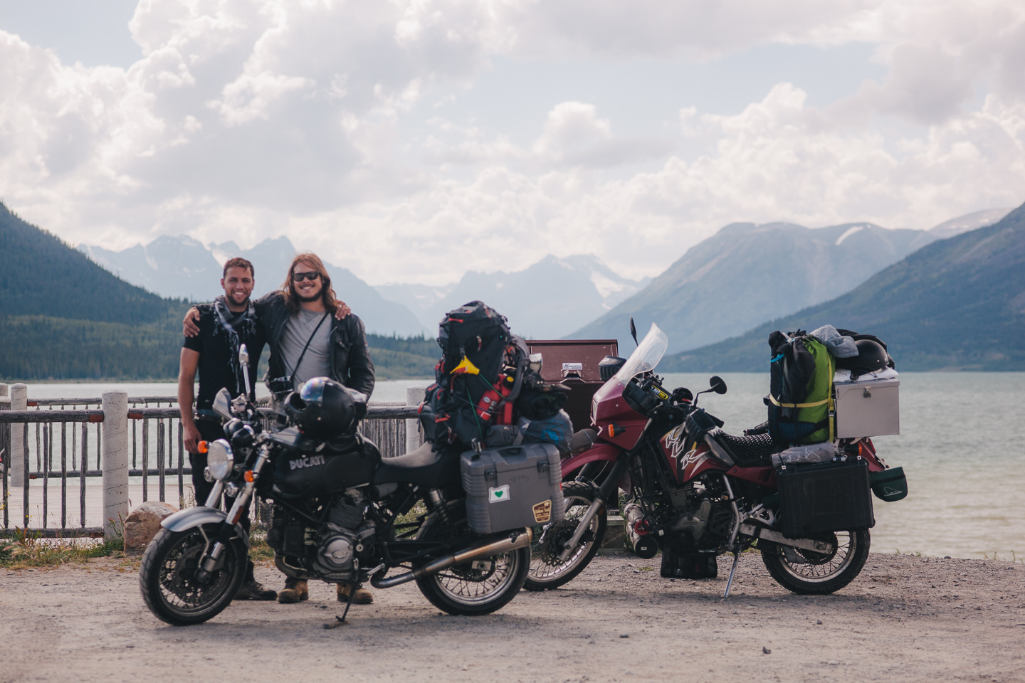
This week’s wallpaper a week is once again a solid one – you get two: Stuart’s shot of that unreal gorgeous rainbow, and my shot up near Skagway! Sign up for the weekly wallpaper by dropping me a line (s at dewith.com).


Comments are closed.