Ah, the Dalton Highway. As I mentioned in my last post, this is it: the most Northern, and one of the most deadly and challenging roads in the United States.
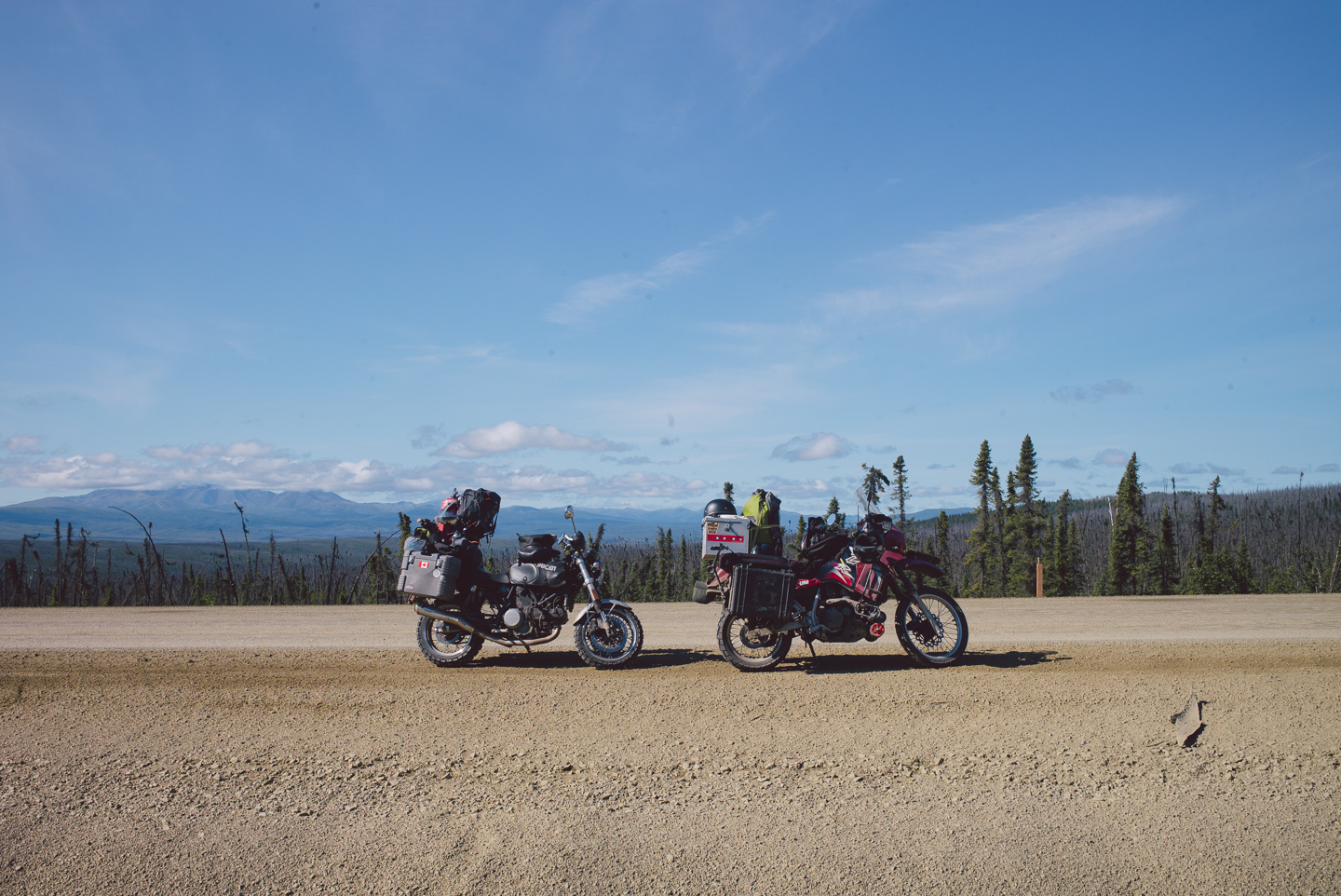
Known to locals as the ‘Haul road’, the Dalton Highway is used all year round by truckers to haul huge shipments of oil and oil products and equipment to the biggest oil field in North America at Prudhoe Bay. Prudhoe Bay also marks the end of the road on the American continent; it’s the unofficial end of the ‘Pan-American Highway’ and the furthest North you can go.
And as such, the logical conclusion to the Ride North. We hadn’t planned on taking this road up, as it is extremely challenging, dangerous and the conditions this far North can be terrible. But as we got closer and closer to it, it became clear to us that we wouldn’t go this far without making it all the way to that mythical Northernmost point. We set off… to ride the Dalton.
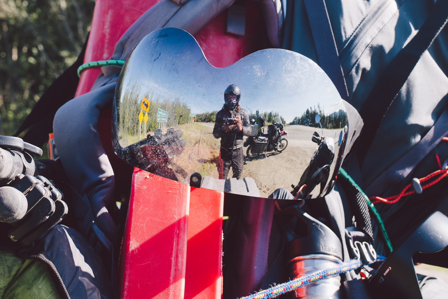
The road instantly turned to mud and gravel the moment we passed the sign, and after about three turns we crested a ridge giving us a view of the Alaska we were leaving behind: civilization lay behind us now. We took photos while creeping through dense, short spruce forest.
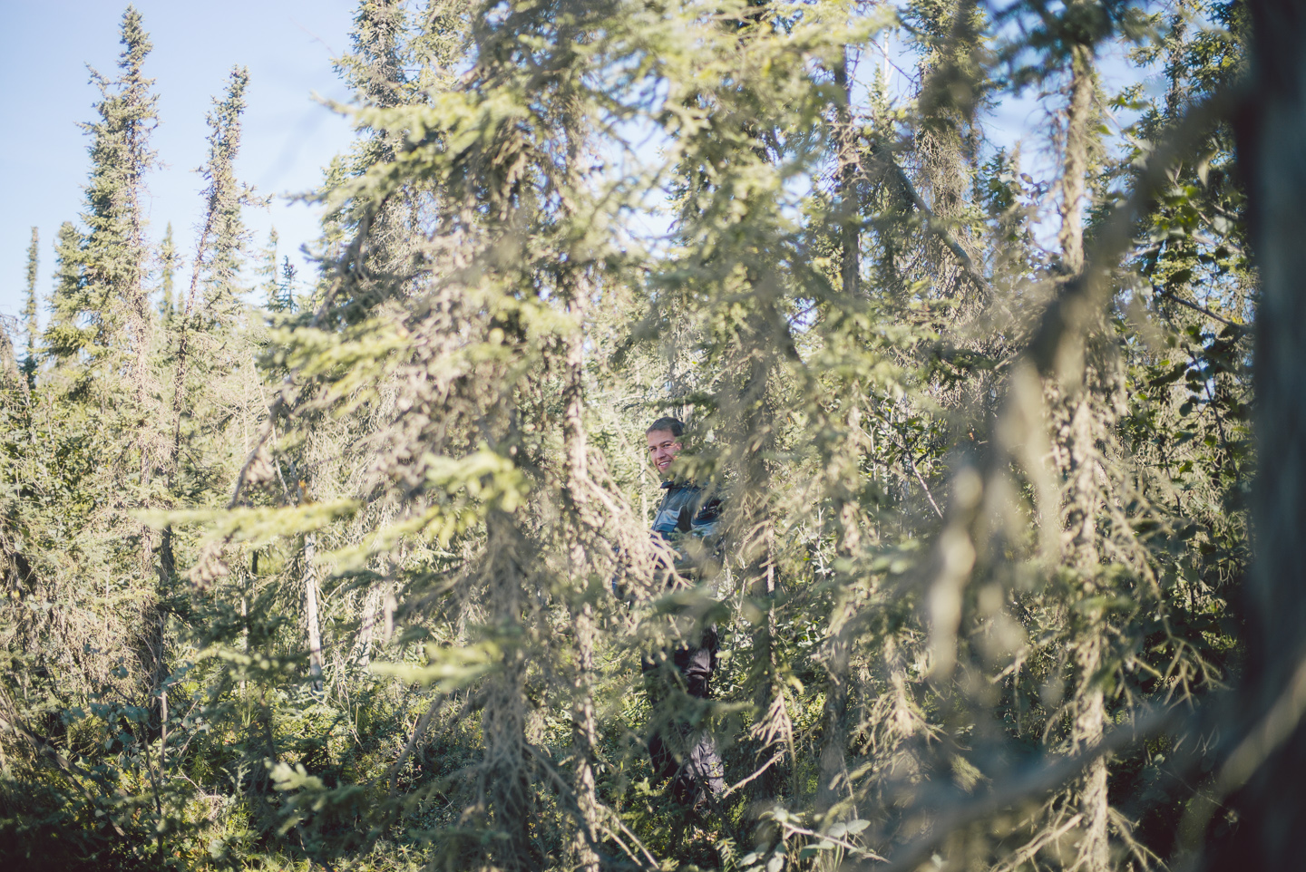
Good tires are no luxury here. In fact, the Alaskan Department of Transportation recommends anyone traveling in a car bring a set of spare tires mounted on rims, since the road is so rough. It wasn’t that rough coming up the first few miles, but that would change… soon.
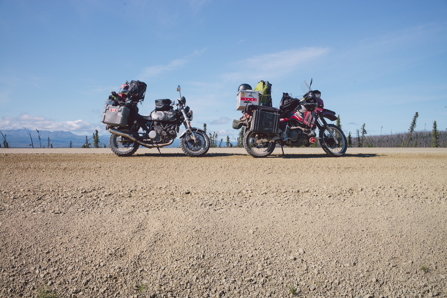
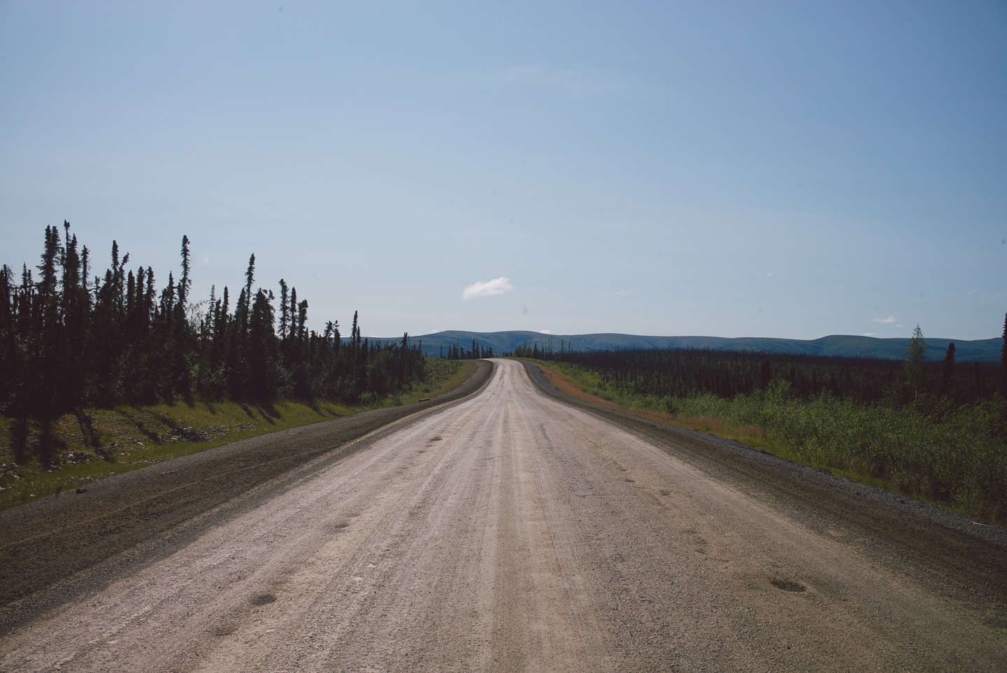
The scenery of the Dalton Highway isn’t really mentioned between all the hushed tones of how terrifying and dangerous the road is, so we weren’t quite ready for what was to come. Already, it was shaping up to be a gorgeous drive. We were lucky enough to have barely a cloud in the sky – something that is quite rare.
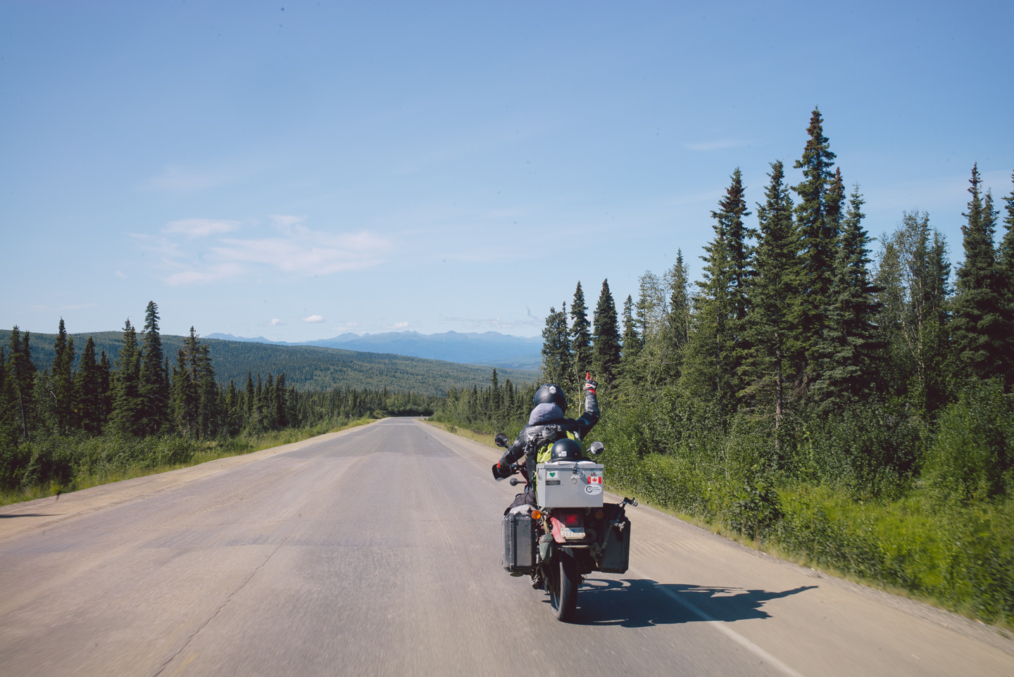
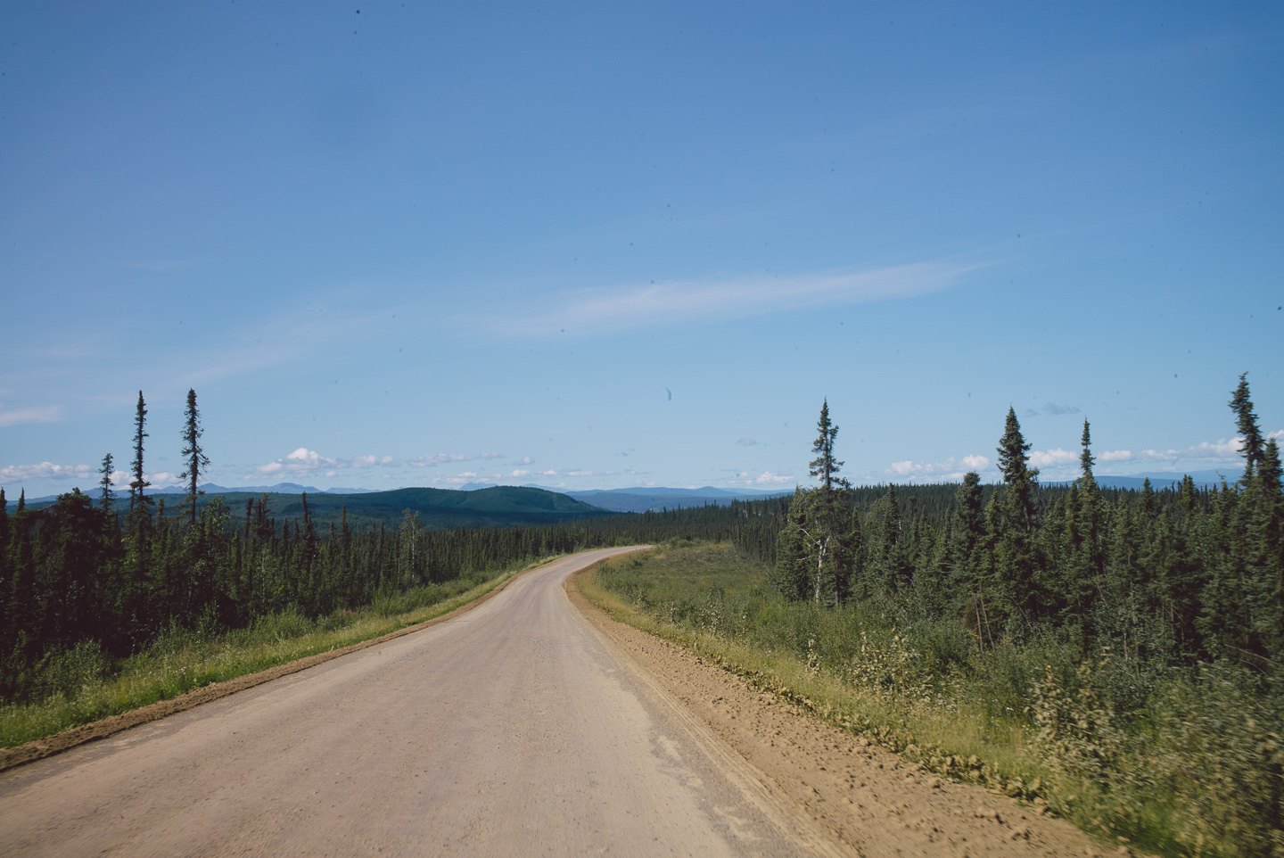
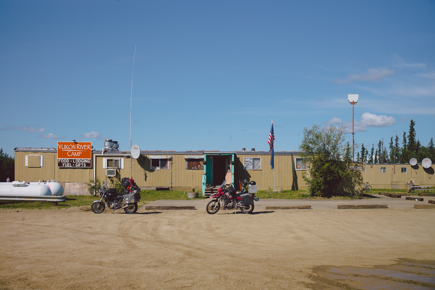
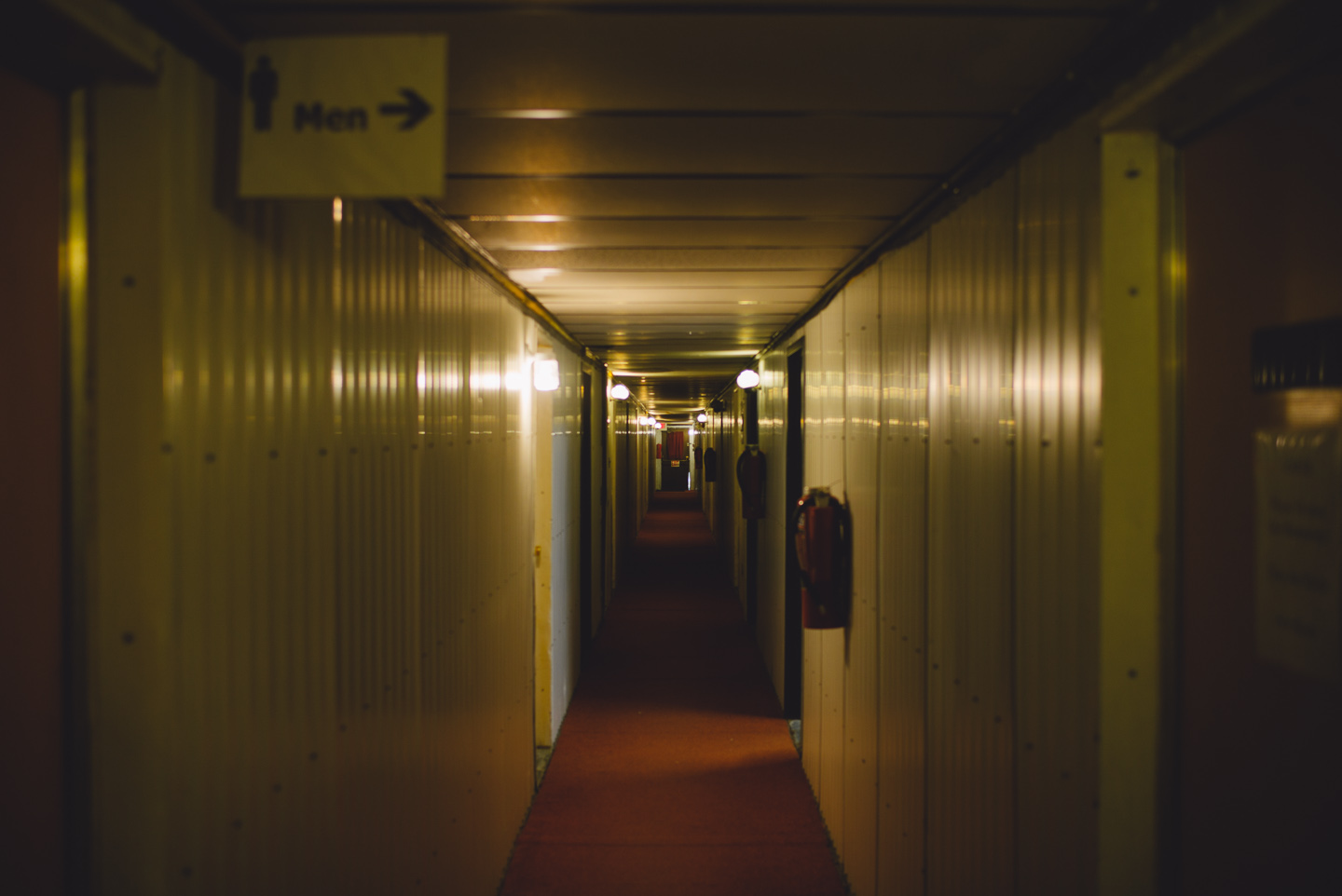
We crossed the massive Yukon river and stopped at the second-last gas stop on the road: Yukon River Camp. It was quite literally a camp, as many buildings would be from here on out. Container units connected into rooms, much like the Arctic base in the movie ‘the Thing’. The food was actually not bad!
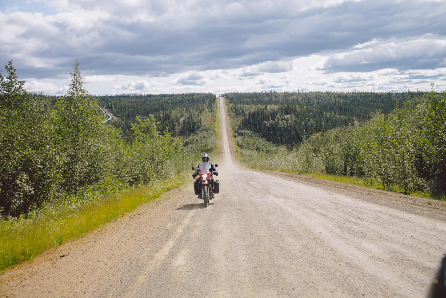
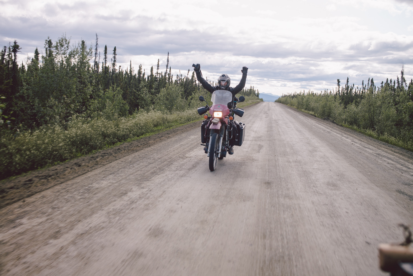
From there on out, the Dalton crests many hills and gets a bit twisty with the sides of the road often highly elevated from its surroundings. Spirits were high and we were enjoying snapping photos of the view while riding, as is evident from this photo of a highly enthusiastic Stuart with camera in hand.
The few clouds we encountered quickly evaporated as we rode further North.
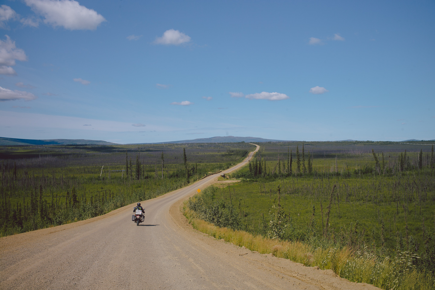
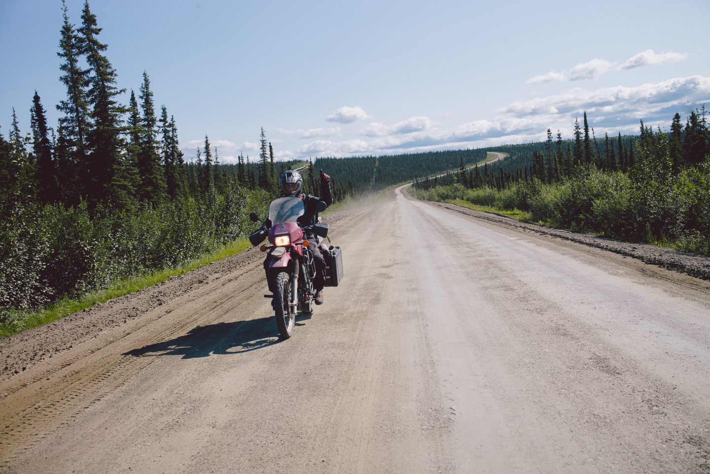
Pointing ahead, Stuart brought my attention to something that is almost always traveling North with you on the Dalton…
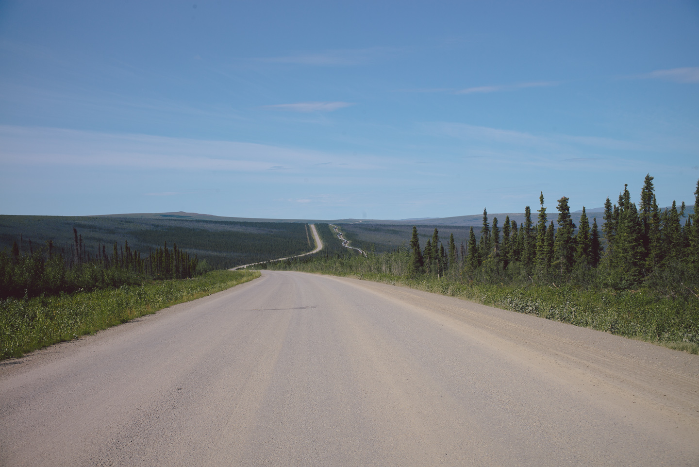
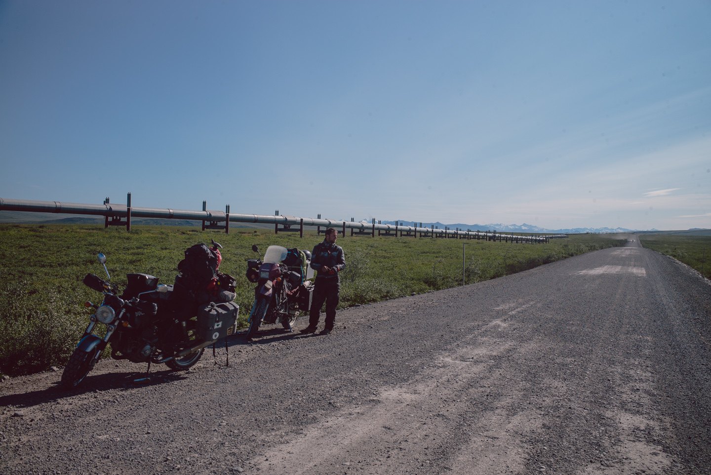
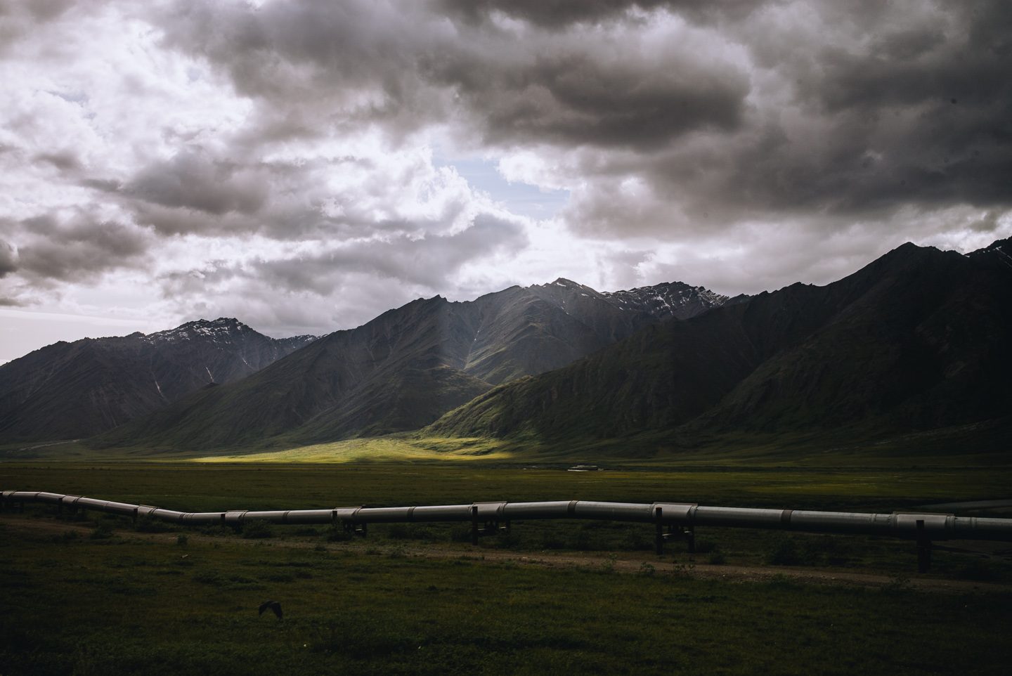
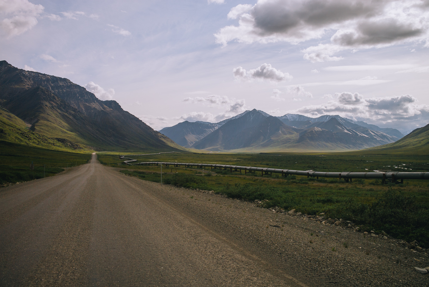
The great pipeline. A true feat of engineering, the oil pipeline from Prudhoe Bay goes all the way to South Alaska, bisecting the entire state. The Dalton serves as a road that parallels it, allowing service access as well as uh, majestic views of the immensely long length of piping.
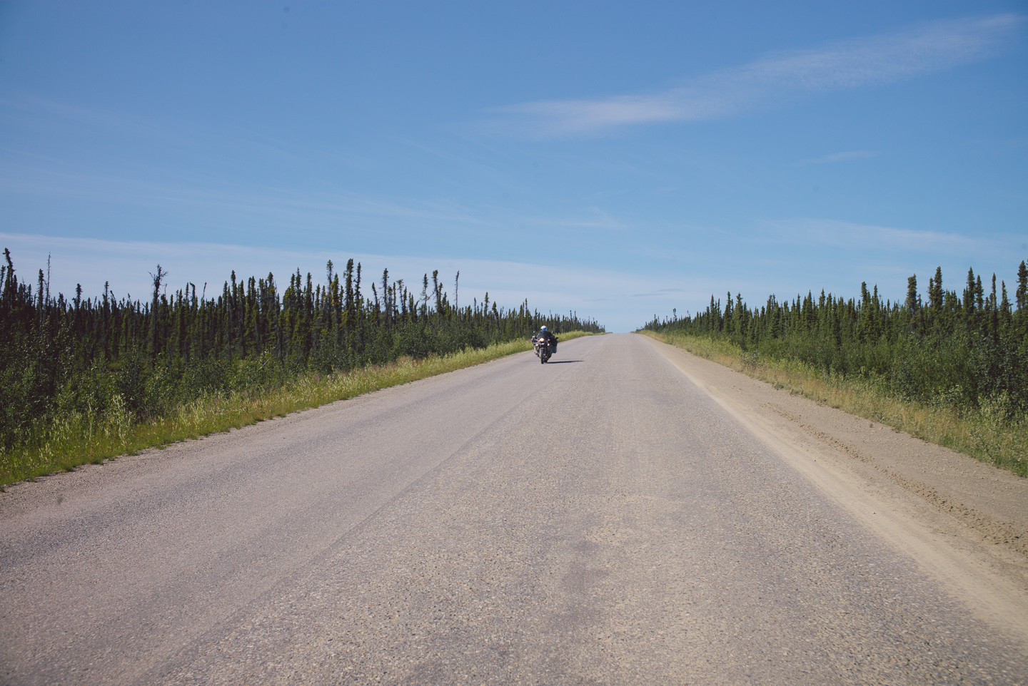
We encountered a fellow rider heading South. In all, we saw very few other motorcycle riders on the Dalton despite its fame and reputation of being a must-ride road. It does take a special type of nutjob to ride all the way up here, I suppose.
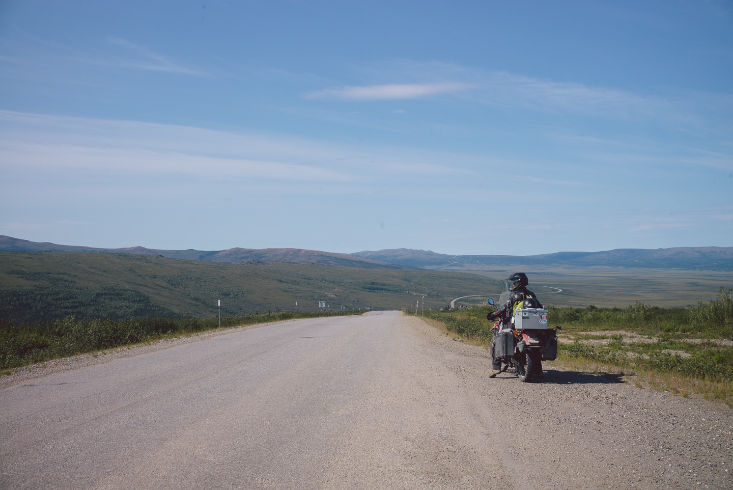
A quick stop at Finger Mountain is worth it. Here, you can see sweeping views of a marshland that births many smaller rivers going South. It’s also a reminder of the change in scenery: trees are getting more and more scarce and the temperatures are beginning to drop.
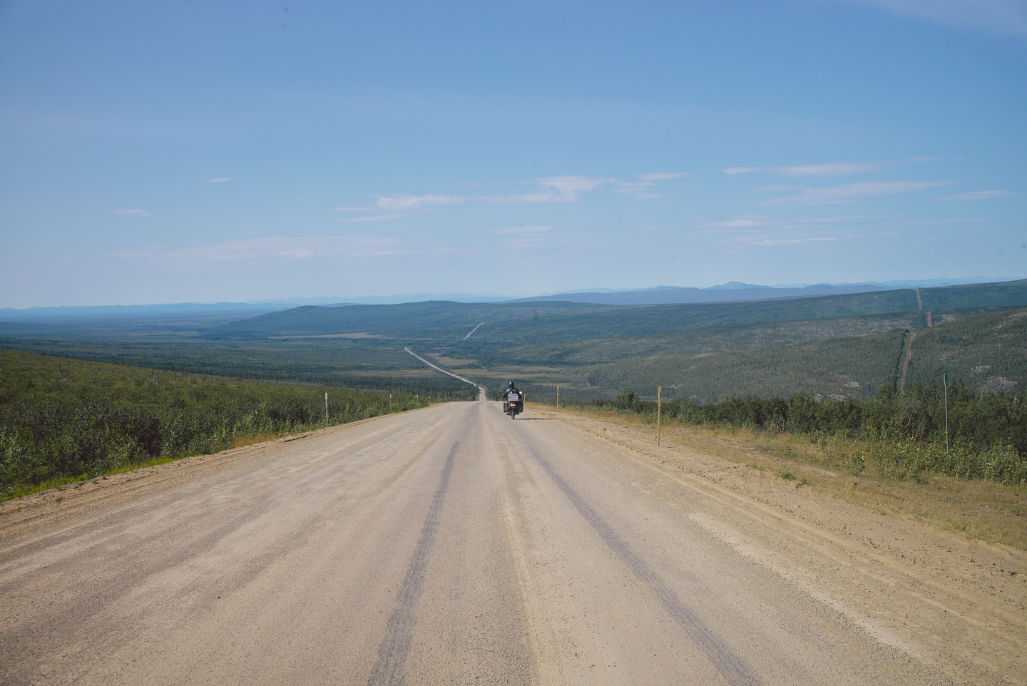
It was a long way down from Finger Mountain, the road getting far worse here due to the typical year-round construction. We had to swerve rapidly to avoid very large boulders and rocks and potholes large enough to break axles on cars. You can’t let your concentration lapse on these roads, which is of course why we were constantly taking photos with our hands off the handlebars.
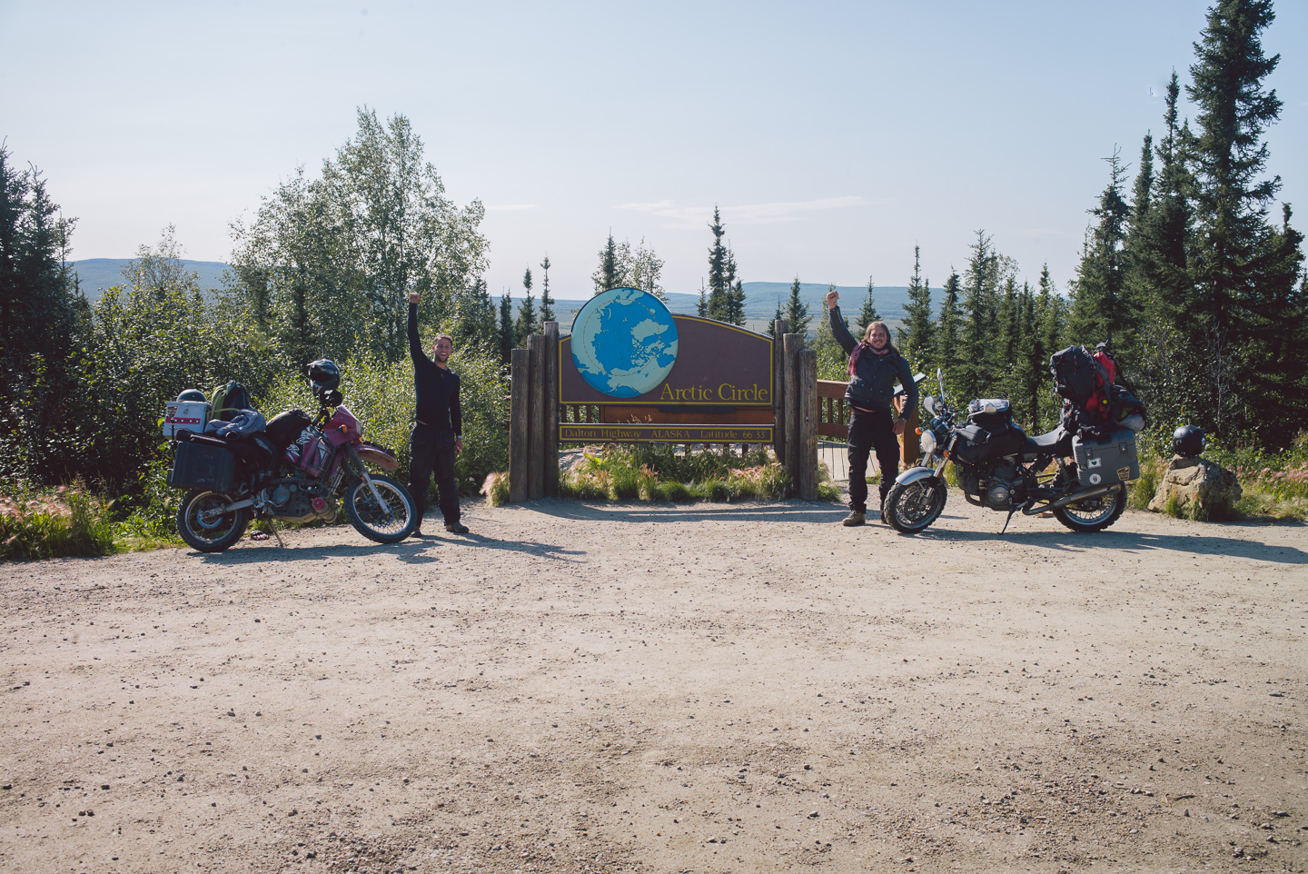
Just past a stretch of highway construction we made it to our first big accomplishment: the Arctic Circle proper! The sign is placed near a large parking lot with some improvised outhouses. There was absolutely nobody there. To see on the illustration how far North we now were certainly prompted intense thoughts of ‘What the hell are we doing here?’.
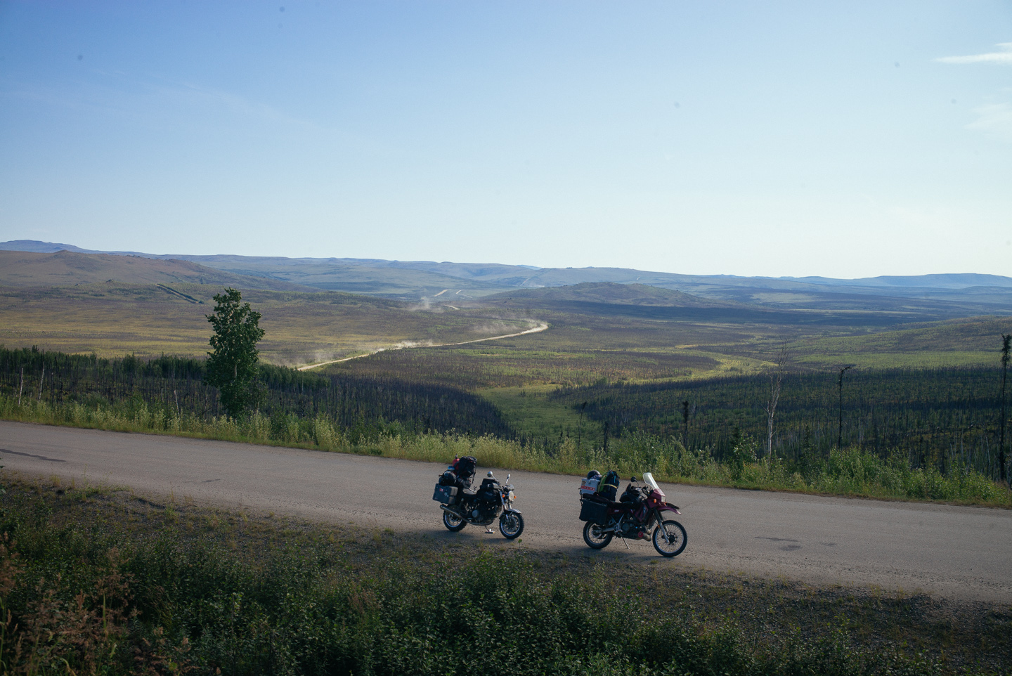
To be honest, it’s a question not easily answered. Long roads such as these, devoid of civilization, themselves a living struggle between mankind and Earth attempting to destroy them are traveled with a mind full of thoughts.
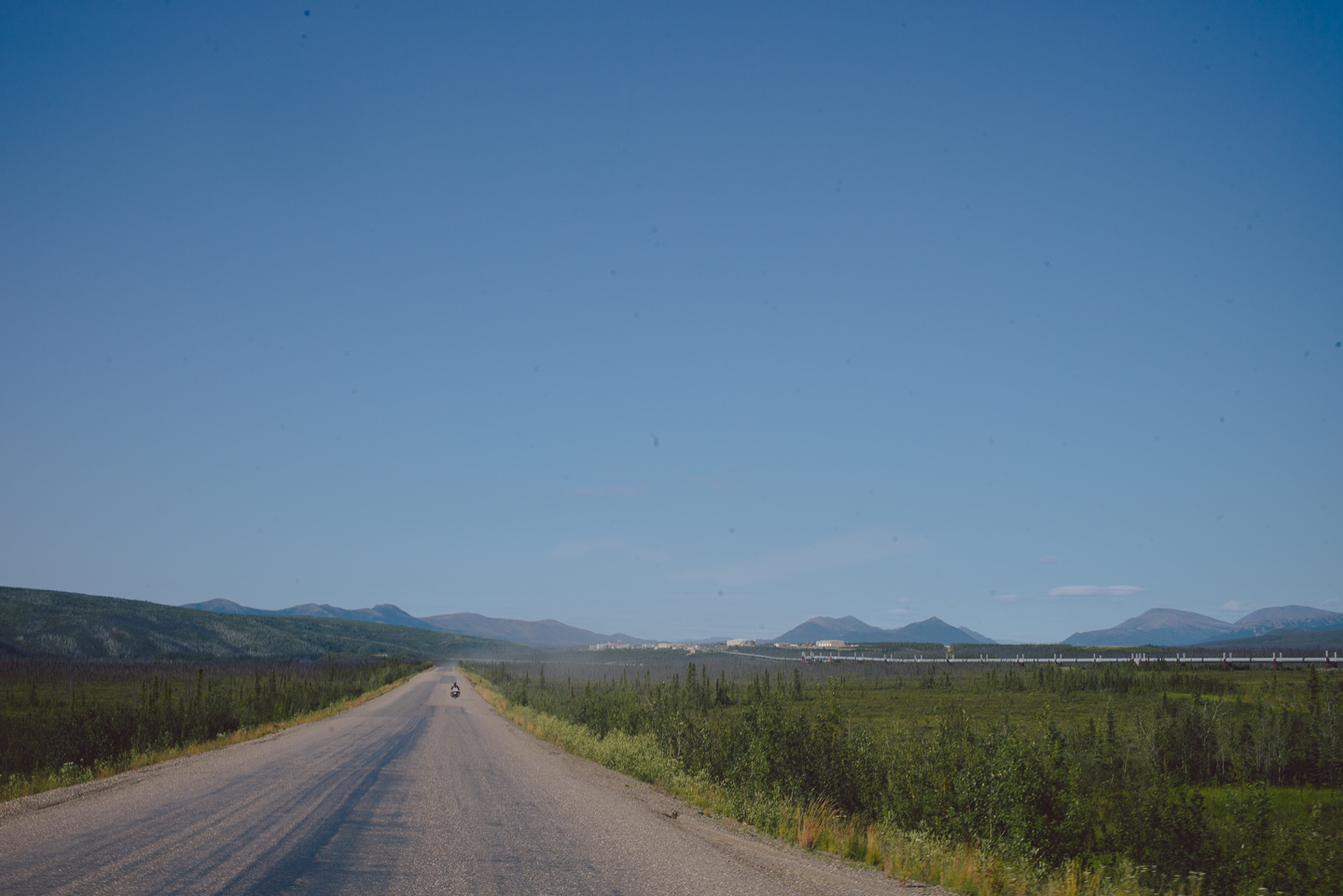
Humanity has a remarkable ability to attempt to push itself to remote places and explore the unknown. We all have this instinct for exploration and adventure inside us, which is why it is such a common theme in the entertainment we read, watch and enjoy in other ways.
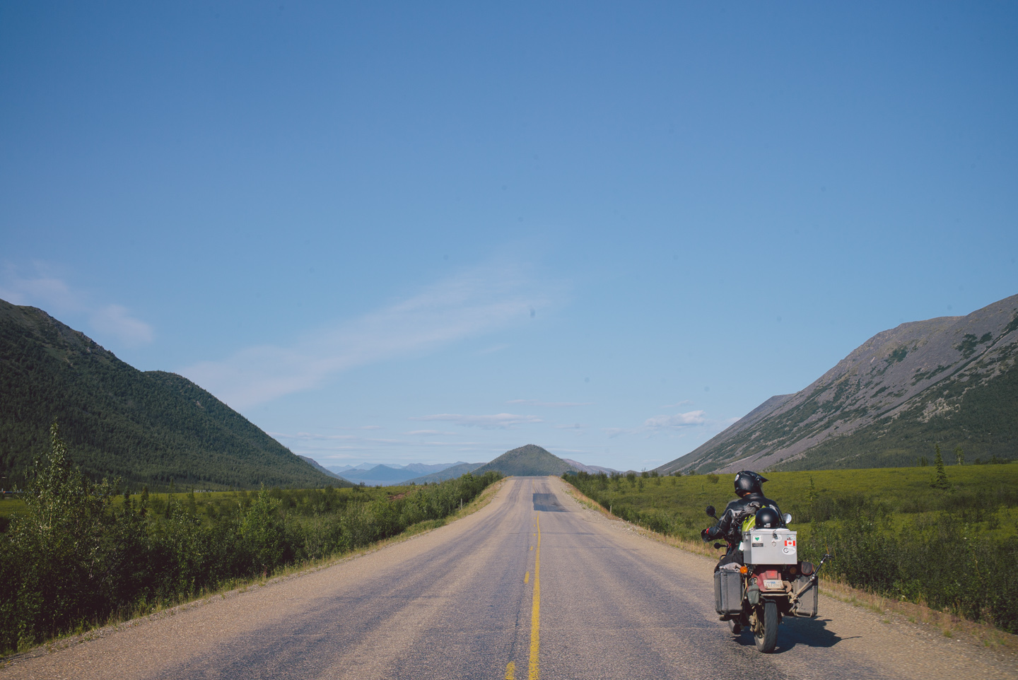
The road, the pipeline– heck, every settlement we encountered in itself was a struggle, just as our travel was a struggle for an ambitious goal. It gave a powerful sense of belonging, and made me realize why I was having such a feeling of enjoyment and excitement riding in this incredible place.
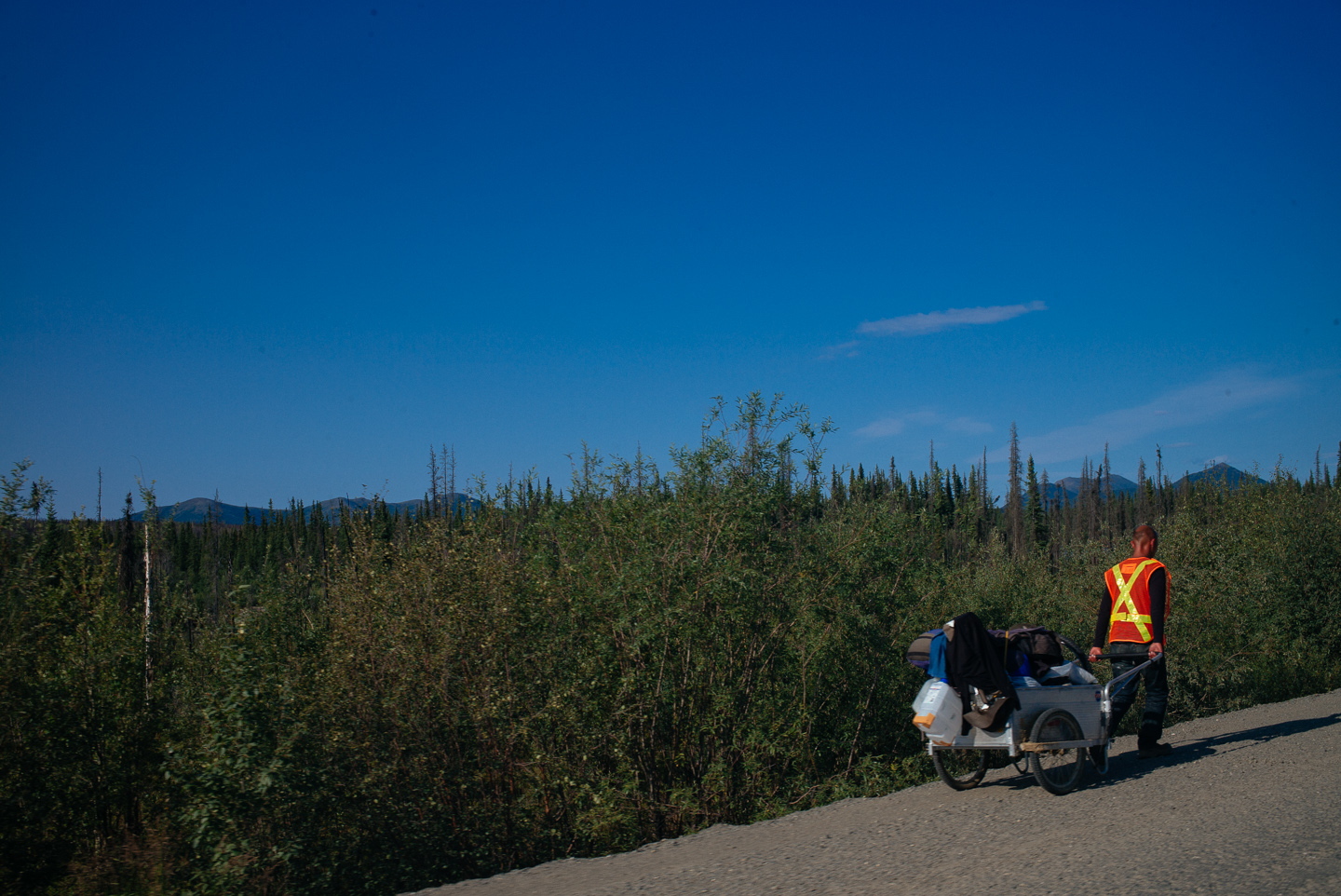
We encountered another traveler we’d heard stories of: a man who walked the incredible length to the Arctic North with a rickshaw containing his belongings. It was a welcome change from all the giant trucks we’d shared the road with so far. We waved as we passed him by.
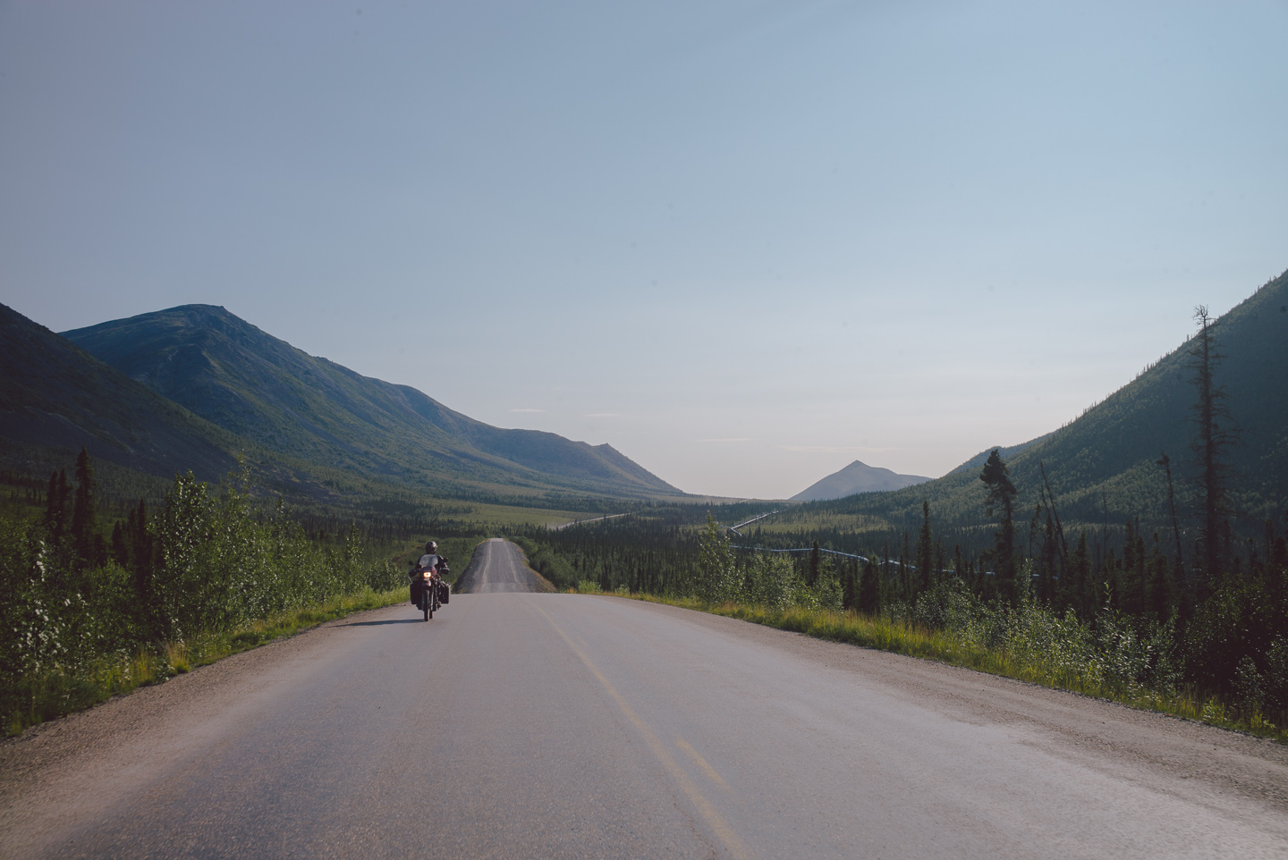
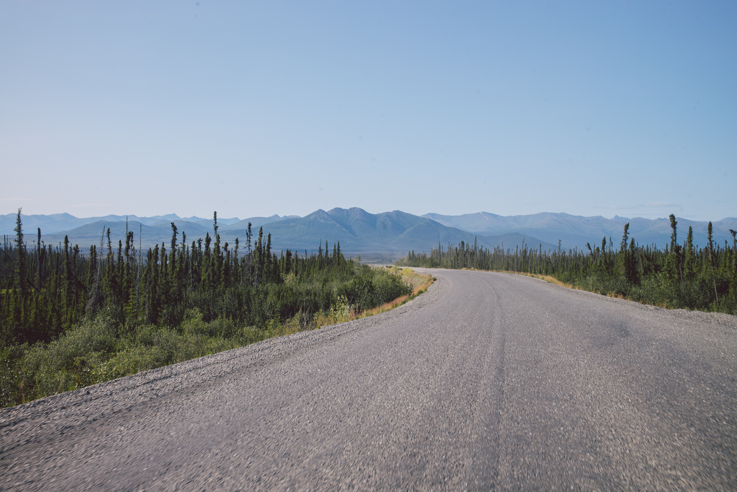
We turned a gravely corner to find actual pavement beneath our tires, a welcome change for a moment. It had been a long day of riding, and we relaxed a little into our seats rolling over somewhat smooth surfaces into an ever more mountainous landscape.
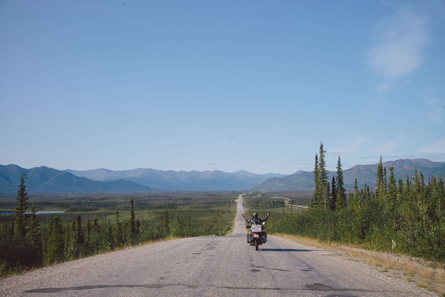
It was a smooth (read: less potholes and gravel than usual — you get impressed by somewhat decent pavement real quick in Alaska) roll down to Coldfoot, the last settlement — if you can call it that — before the Northernmost stop of Prudhoe Bay. This is where we’d set up camp for the night. Eager as we were to continue riding, we didn’t have enough energy to go the 10+ hour ride further.
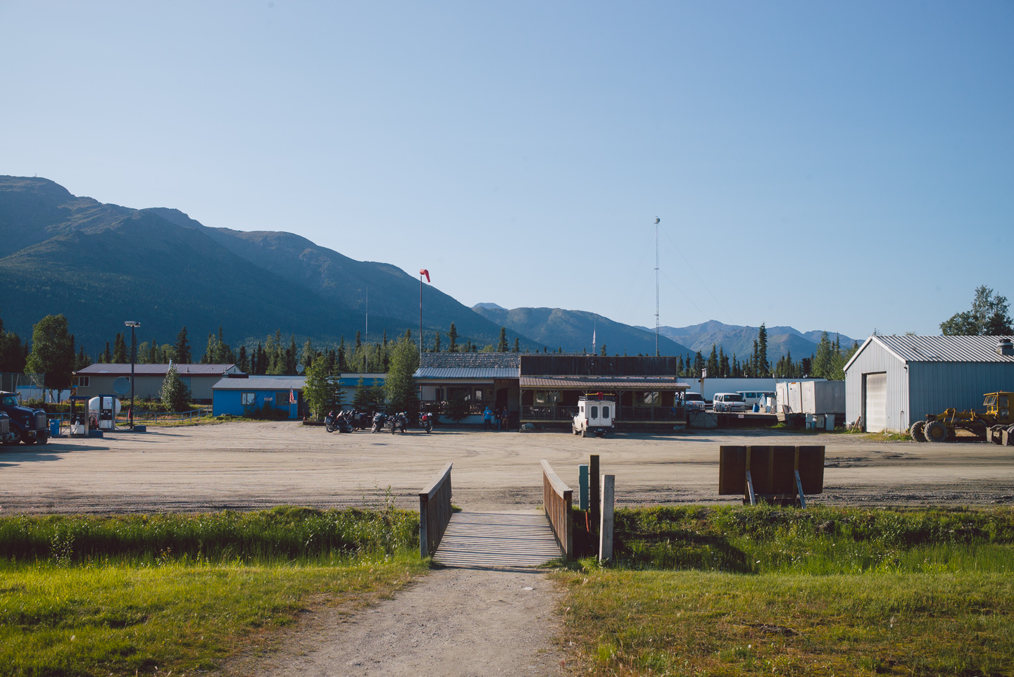
We got a few beers at the bar here and talked to locals, and were happy to hear that our friend on the 50cc Honda Ruckus we met at a gas station in Whitehorse weeks before had successfully made it to Prudhoe Bay and back. These beers would also be the last ones for a while: Deadhorse, the town of Prudhoe Bay, is a dry community where alcohol is verboten. No booze can be bought or even consumed there. We’d find out why later…
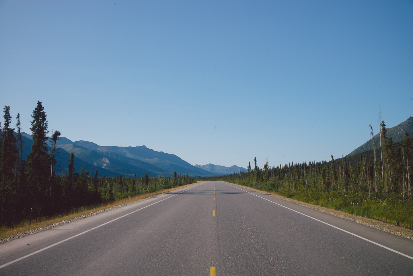
It was a leisurely sunny ride about four miles North of Coldfoot to the local Bureau of Land Management campground.
We set up camp, enjoyed a nice meal and talked to a new friend we made in Coldfoot who was driving up to Prudhoe Bay with his cat for no real distinct reason.
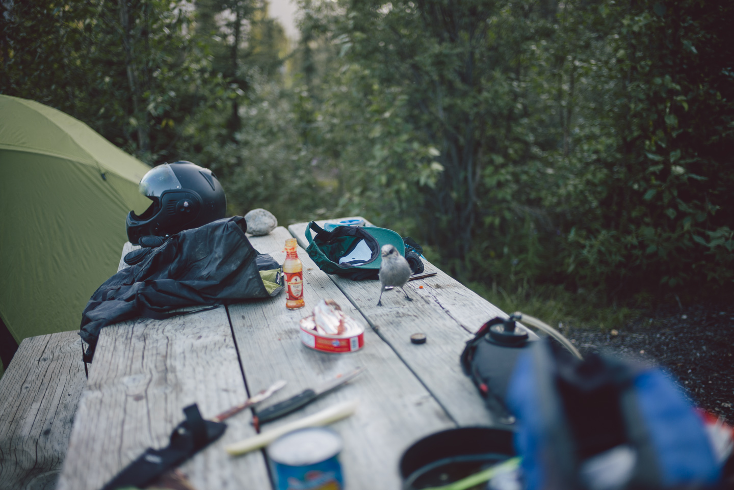
People are interesting in this place. So is the wildlife: the birds were aggressive and almost stole half of our food. Despite our best efforts, the damn things wouldn’t stop harassing us (much like the incredible amount of mosquitoes) so after a few swigs of whiskey we crashed in our tents sleeping through a night with no darkness. We were far North enough that the sun simply did not set anymore.
We were hoping – no, praying – for good weather the next day, and we woke up seeing not a single cloud in the sky.
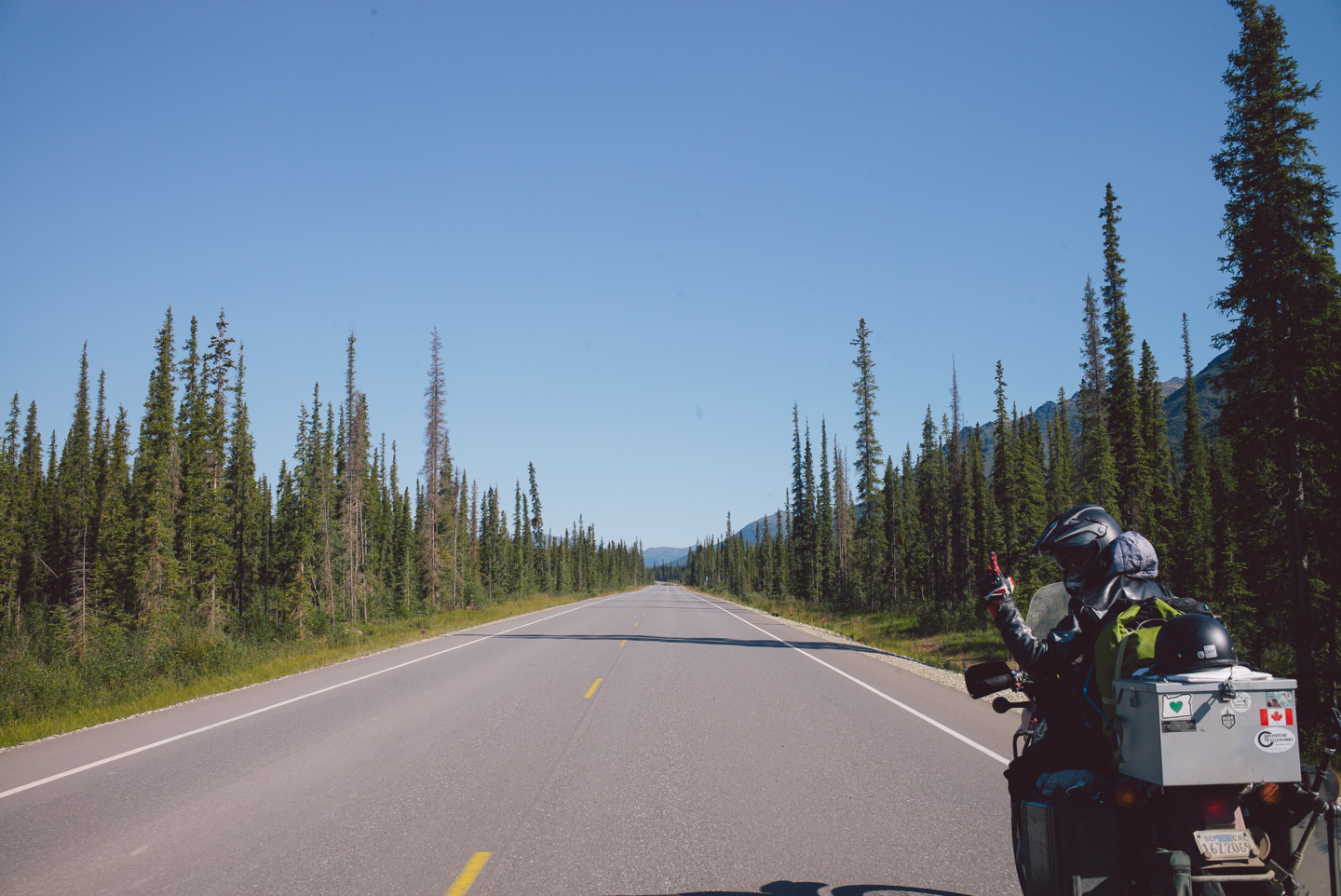
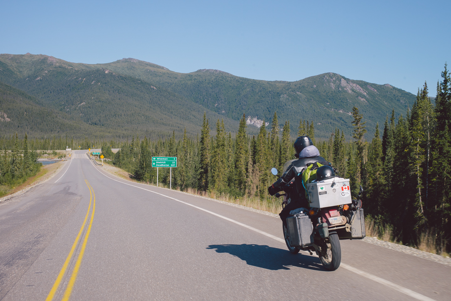
This was it, our chance to ride to this crazy place. We had the last 250 miles of the Dalton ahead of us, and the first 20 was actually surprisingly paved.
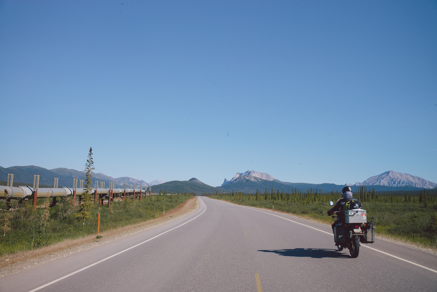
The pipeline would snake back and forth from being right next to us or hidden in the landscape glistening in the sun.
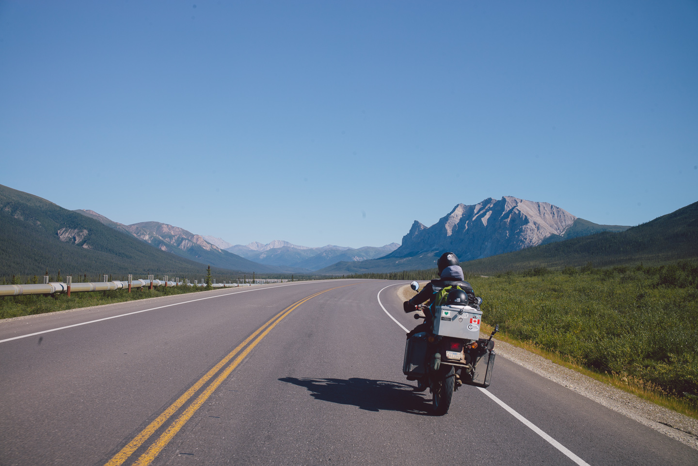
A few turns later we stood eye to eye with the first foothills and mountains of the Brooks Range, the range we had to cross to get to the Arctic tundra and marsh that drains into the Arctic Ocean. A very real dividing range between us and the last land before the North Pole.
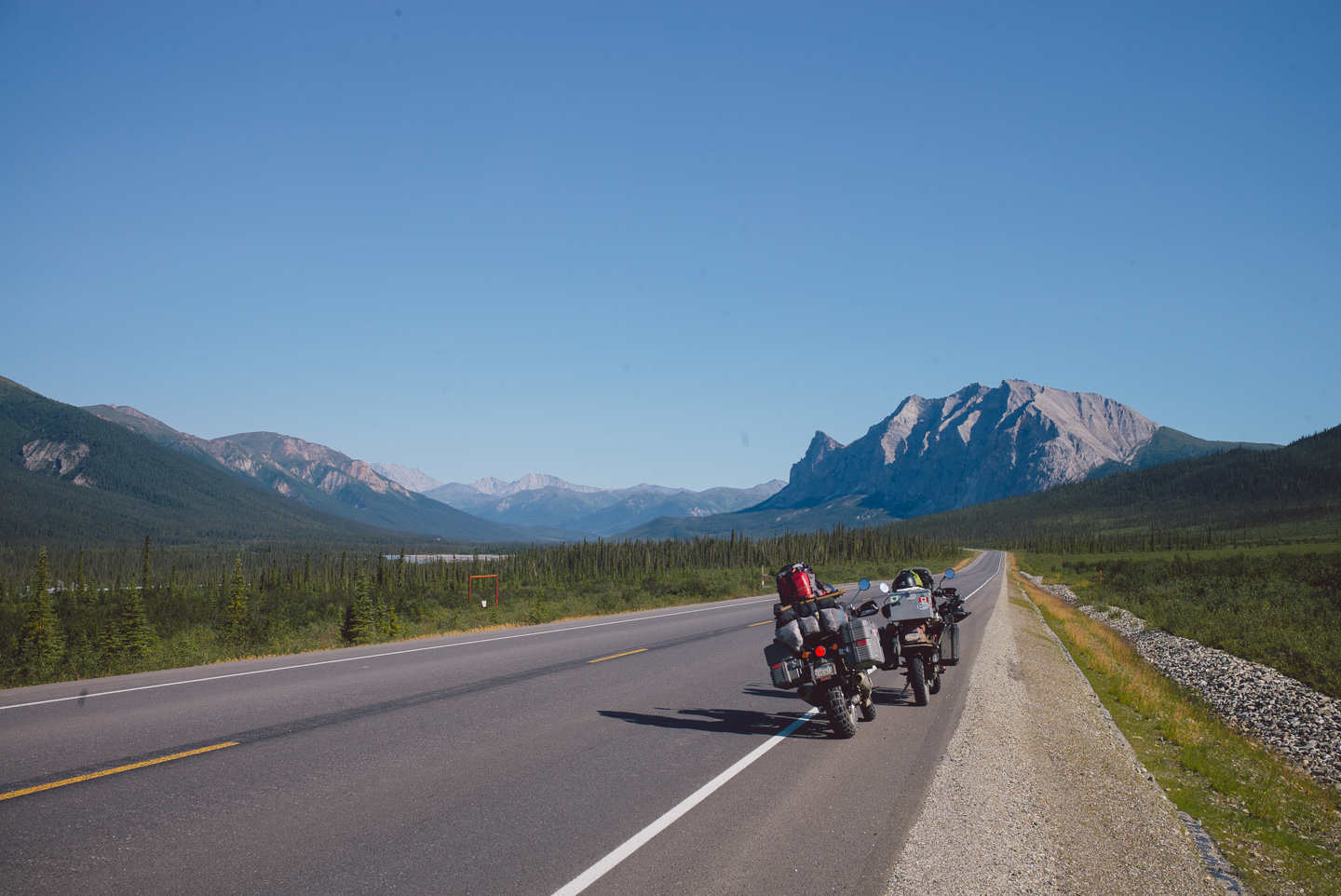
The mountains are stunning. The hills simply transformed from rolling, green mountains and hilltops you’d see anywhere to gnarly ragged and sharp rocks seemingly stabbed through the forest from below.
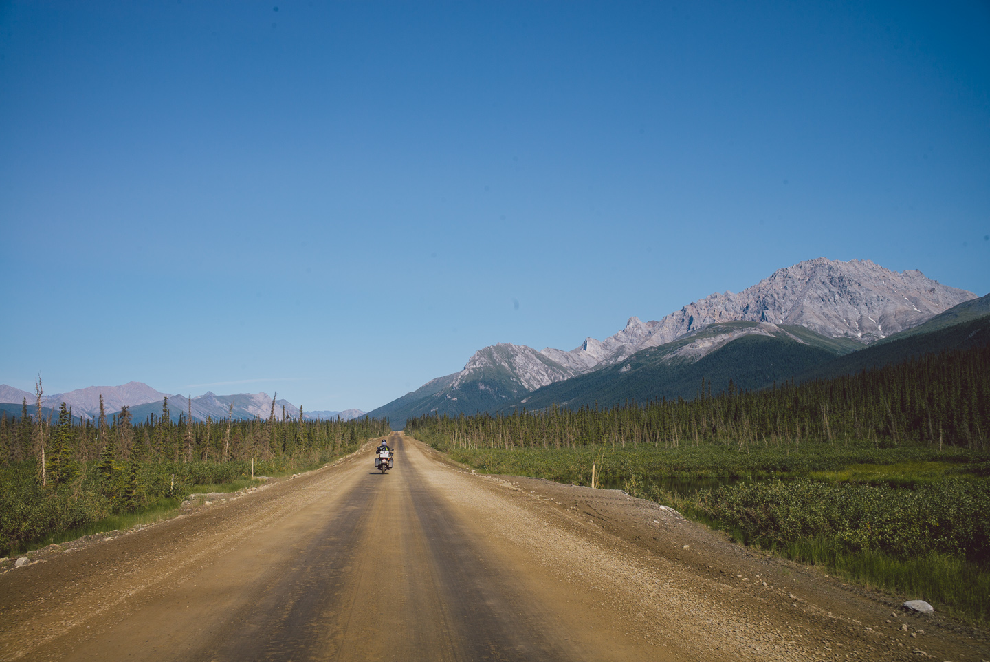
Then, the pavement ran out. It was mud and gravel from here on out.
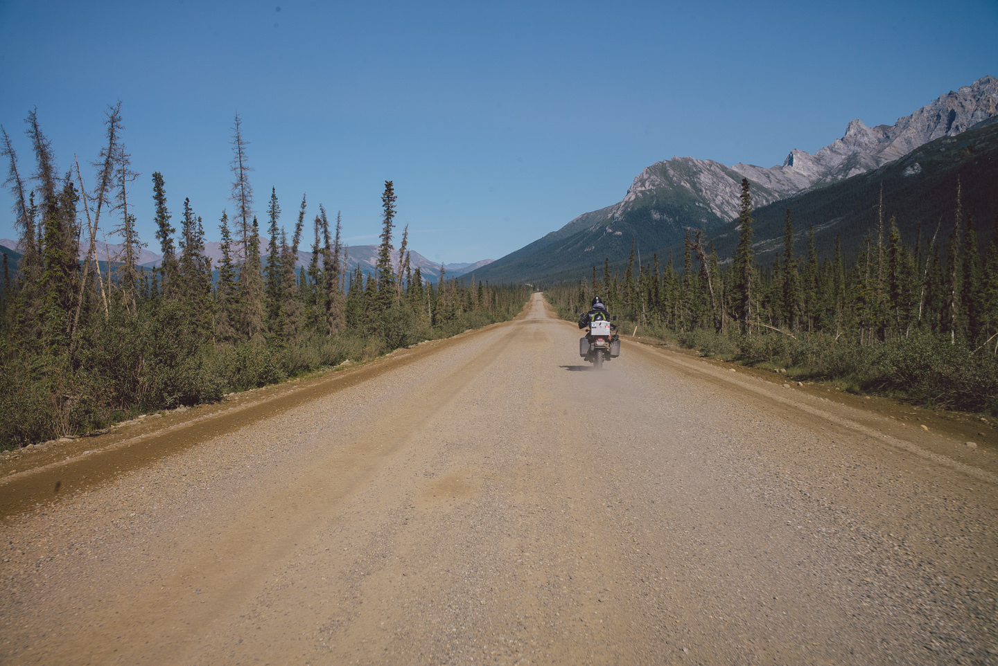
At this time I was absolutely grateful for my choice to put new tires on my Ducati. The previous tires were nervous on loose gravel, and that was exactly what these roads were composed of. The new tires were grippy and let me confidently ride over 60 miles an hour over the muddy road.
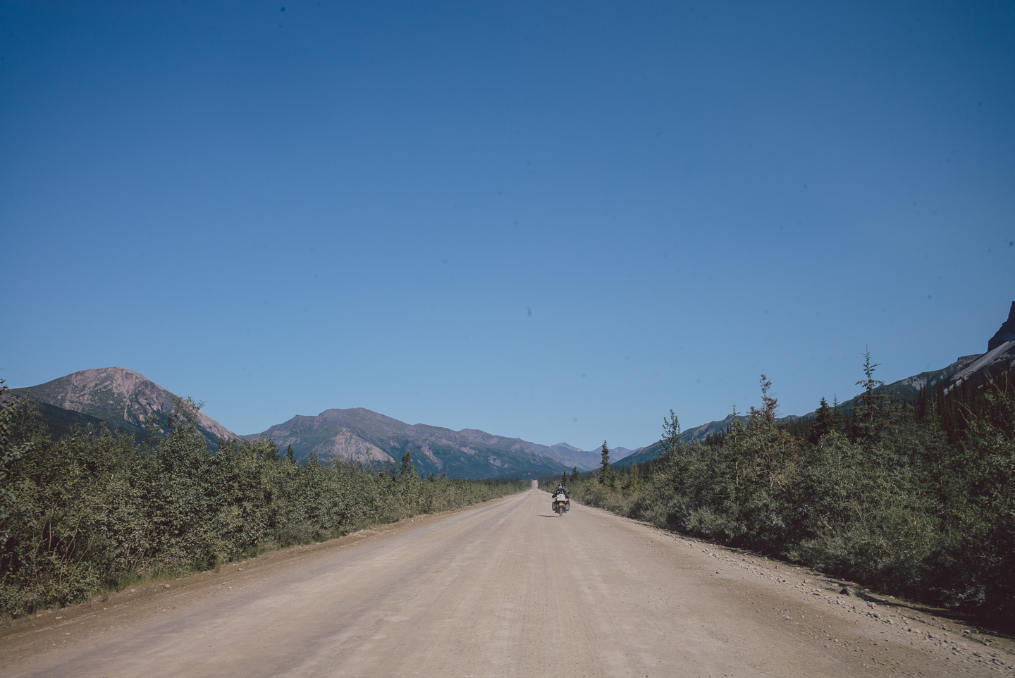
The Dalton is muddy, dusty, or often both. The growth on the side of the road is at all times completely covered in the Calcium Sulfate-rich mud of the road the many trucks whip up in their passing.
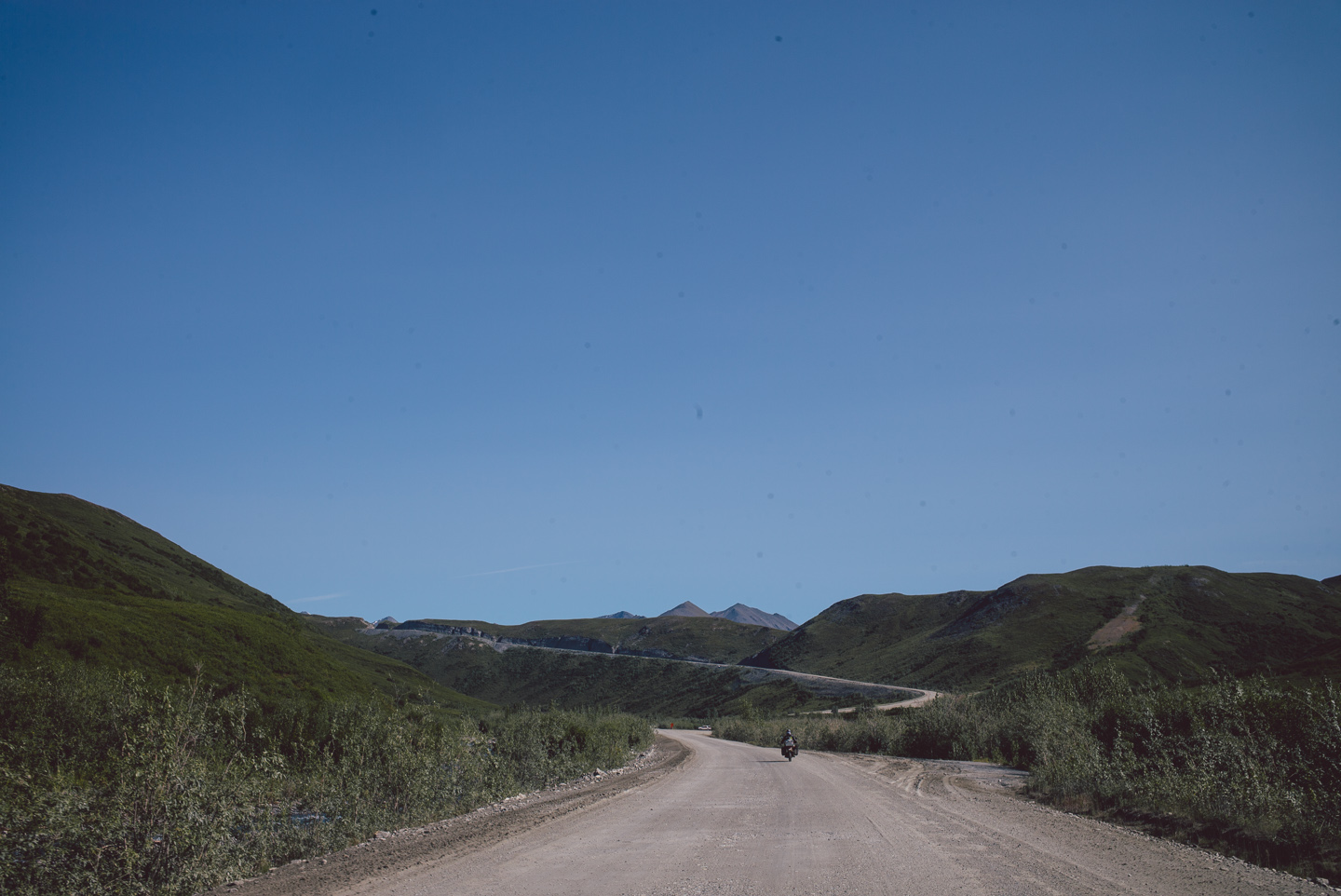
A few hours later we stood eye to eye with the climb up to Atigun pass, one of only two passes that crosses the Brooks Range. Atigun pass is known as a rough rocky road through a mountain pass with temperamental weather, but we were again lucky enough to get nothing but sunshine.
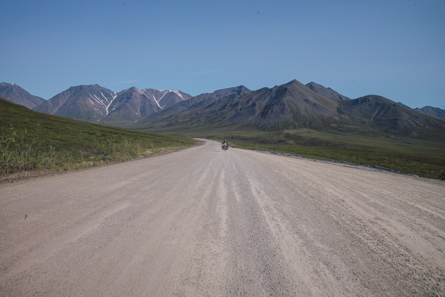
The last spruce was behind us: no trees grow up here.
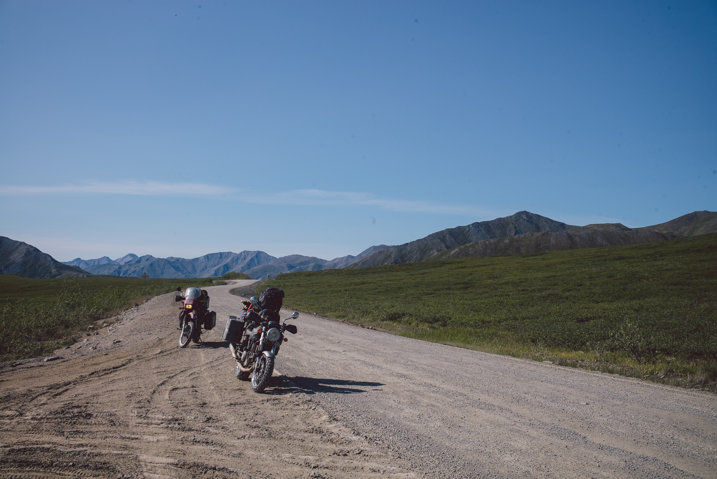
As we steadily climbed up in elevation, shrubs began to disappear…
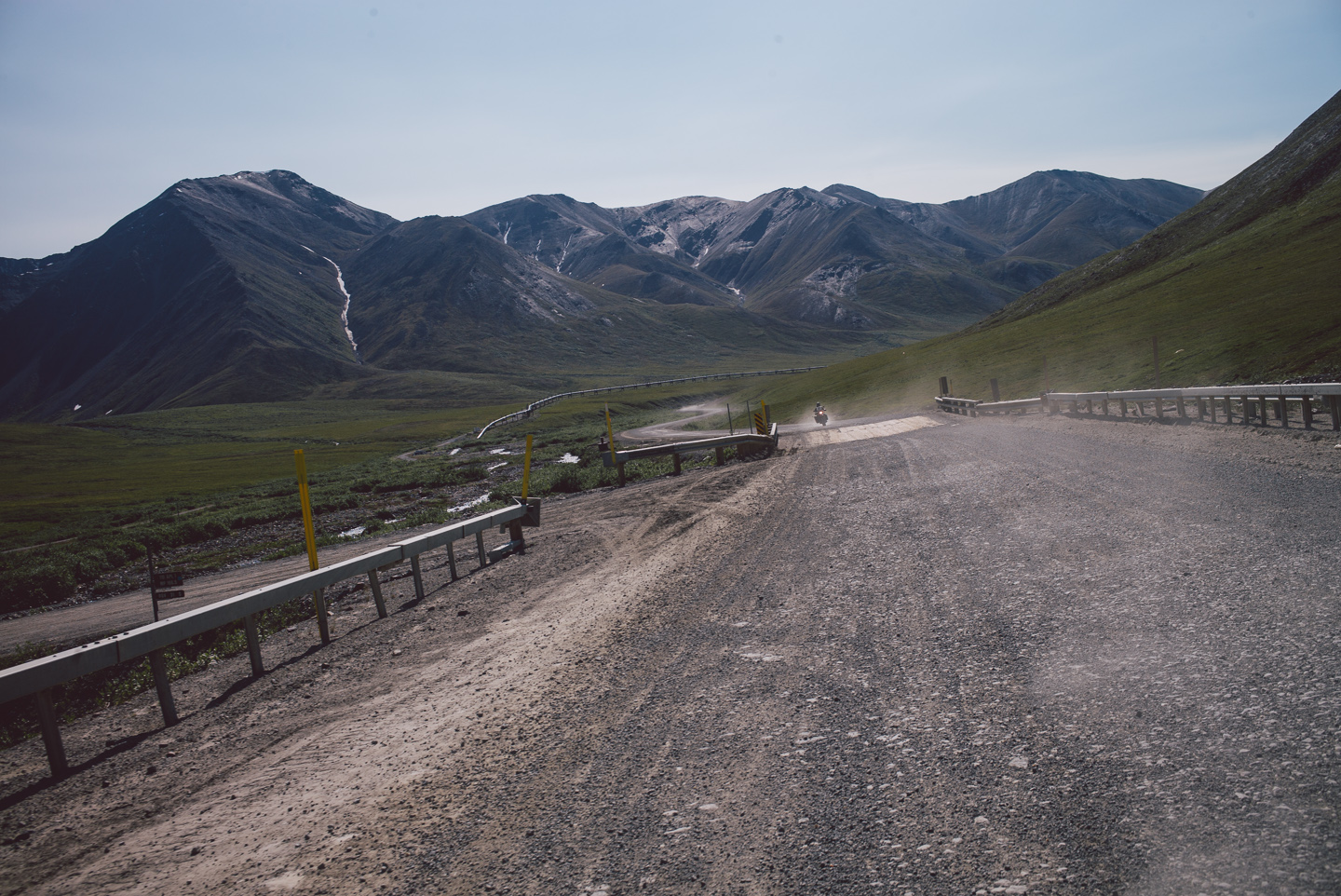
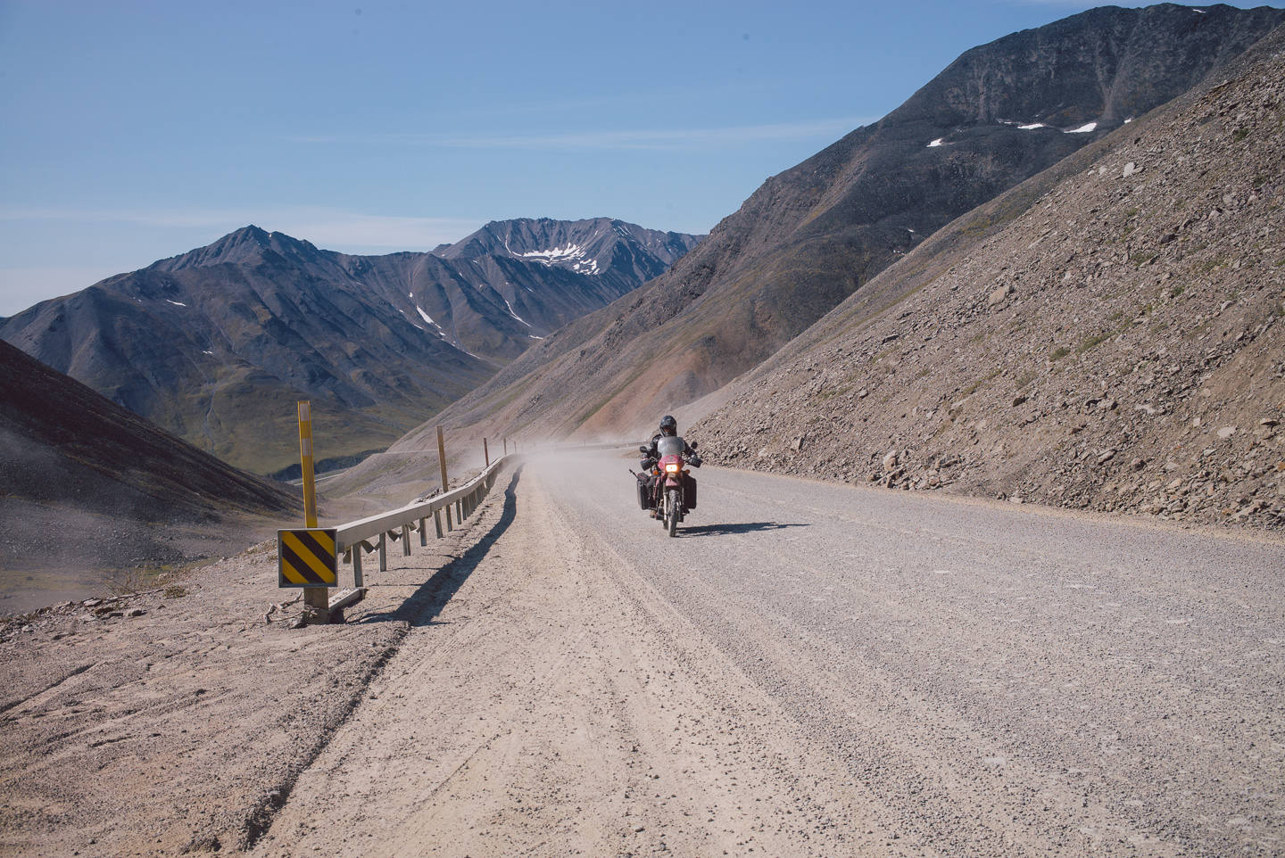
And then simply all vegetation was gone. It gives a surreal feeling of dread when all visible signs of life cease to exist around you.
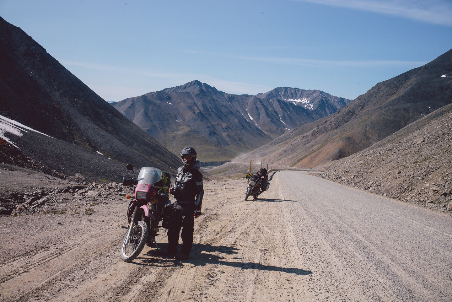
We stopped at the highest point of the pass, looking down at huge trucks ambitiously rolling down the steep decline. Normally, trucks of their size would look large and perhaps even intimidating here, but Atigun Pass shows the Brooks Range well, and its scale is hard to describe in words or pictures.
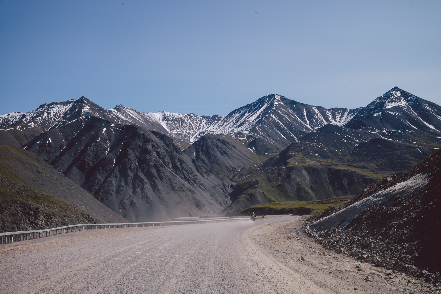
It’s awe-inspiring.
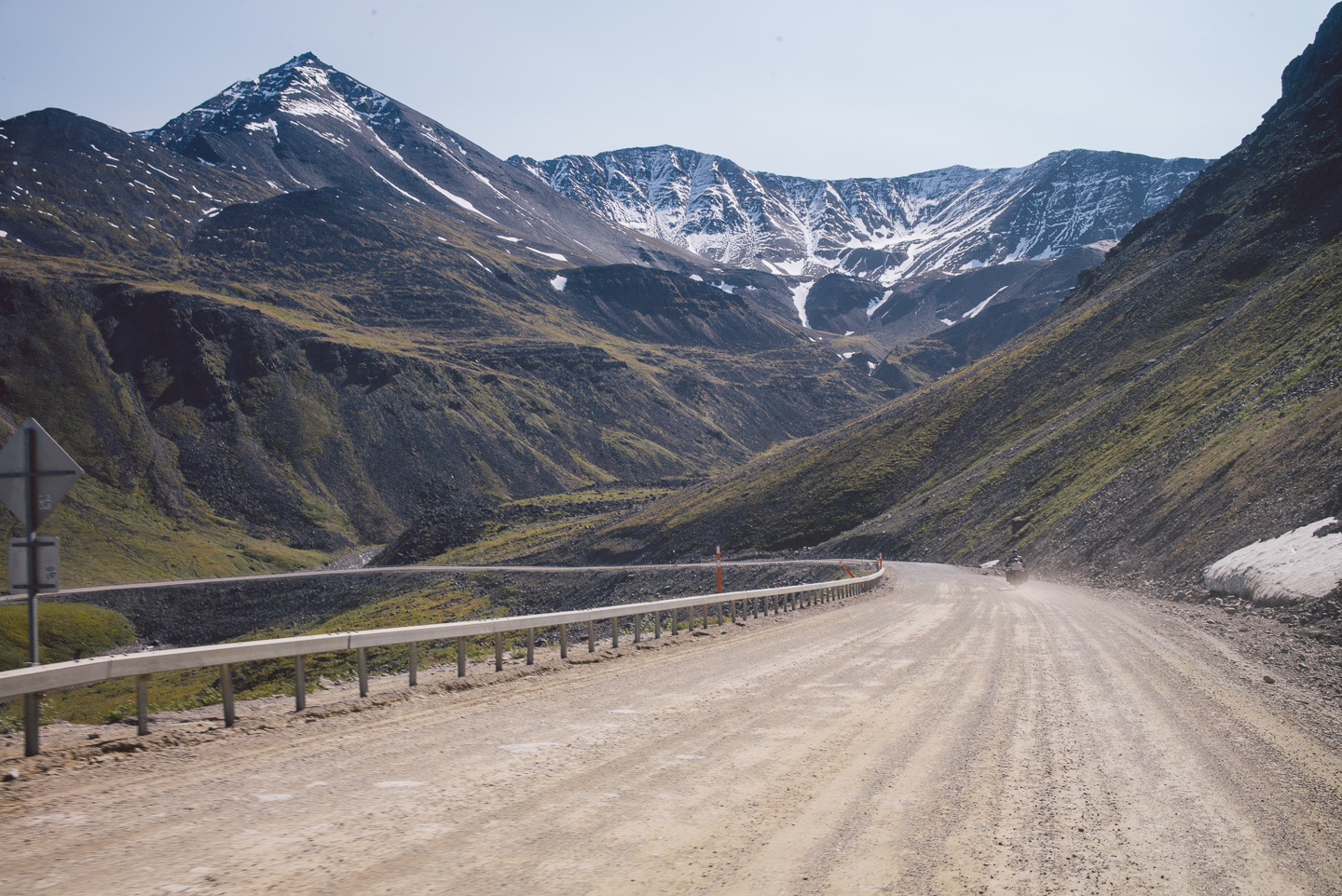
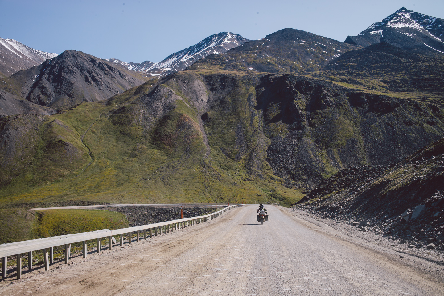
I think I pulled a few muscles in my neck looking around. Mouth agape, riding downhill, I can easily say it was the most incredible mountain range I’d ever seen in my life.
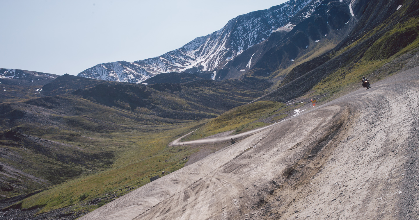
Which was an excellent way to get a mouth full of dust as another truck passed by, forcing us onto the sliver of road furthest to the right riddled with rocks. It’s incredible how appealing such a rough surface of road is to ride on if there’s an oncoming truck barreling down at you at 65+ miles an hour, throwing up an opaque cloud of dust and large flying rocks.
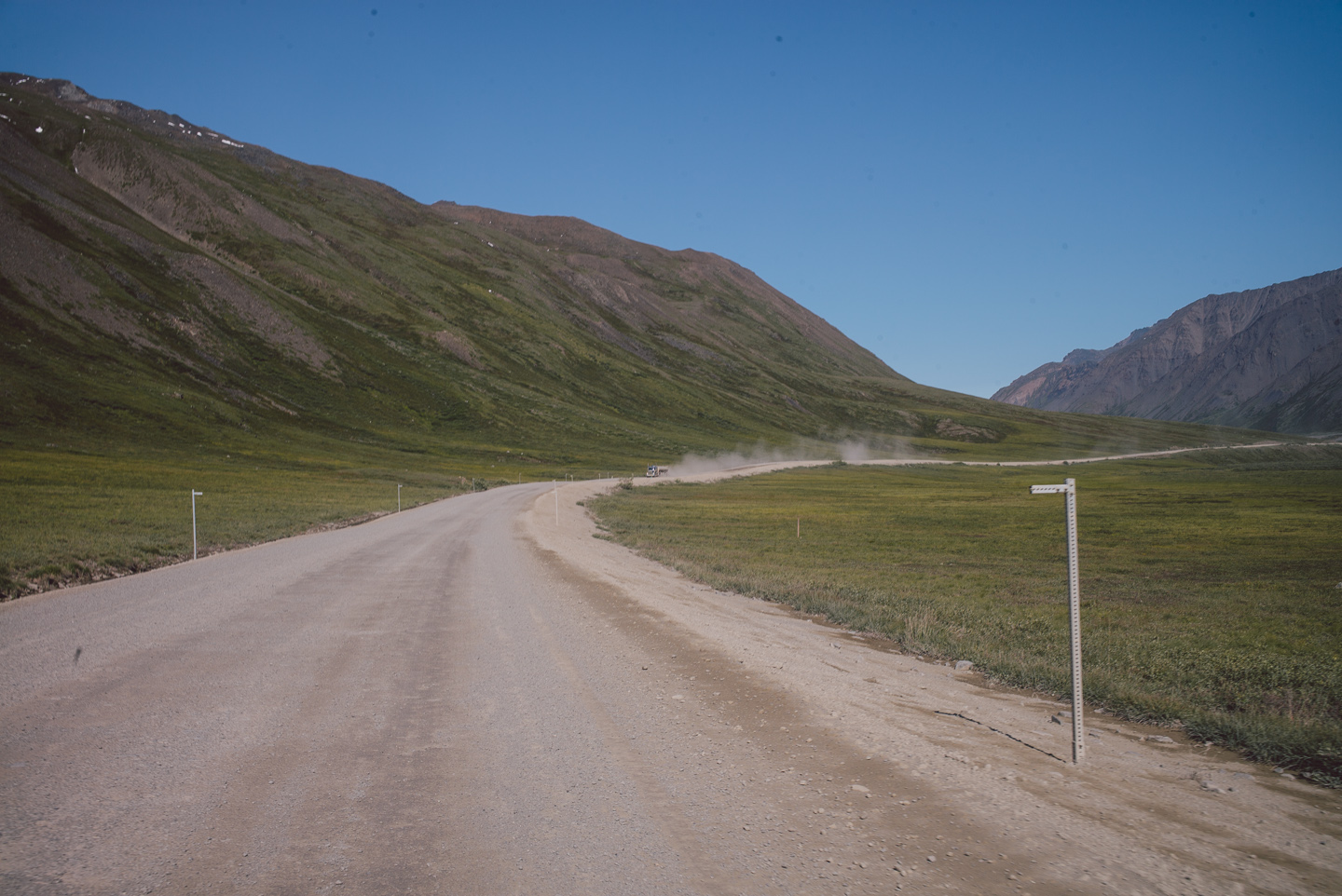
I’d shield my camera while passing and snap a shot of Stuart after being able to see ahead of my bike again. Before and after shots of trucks passing!
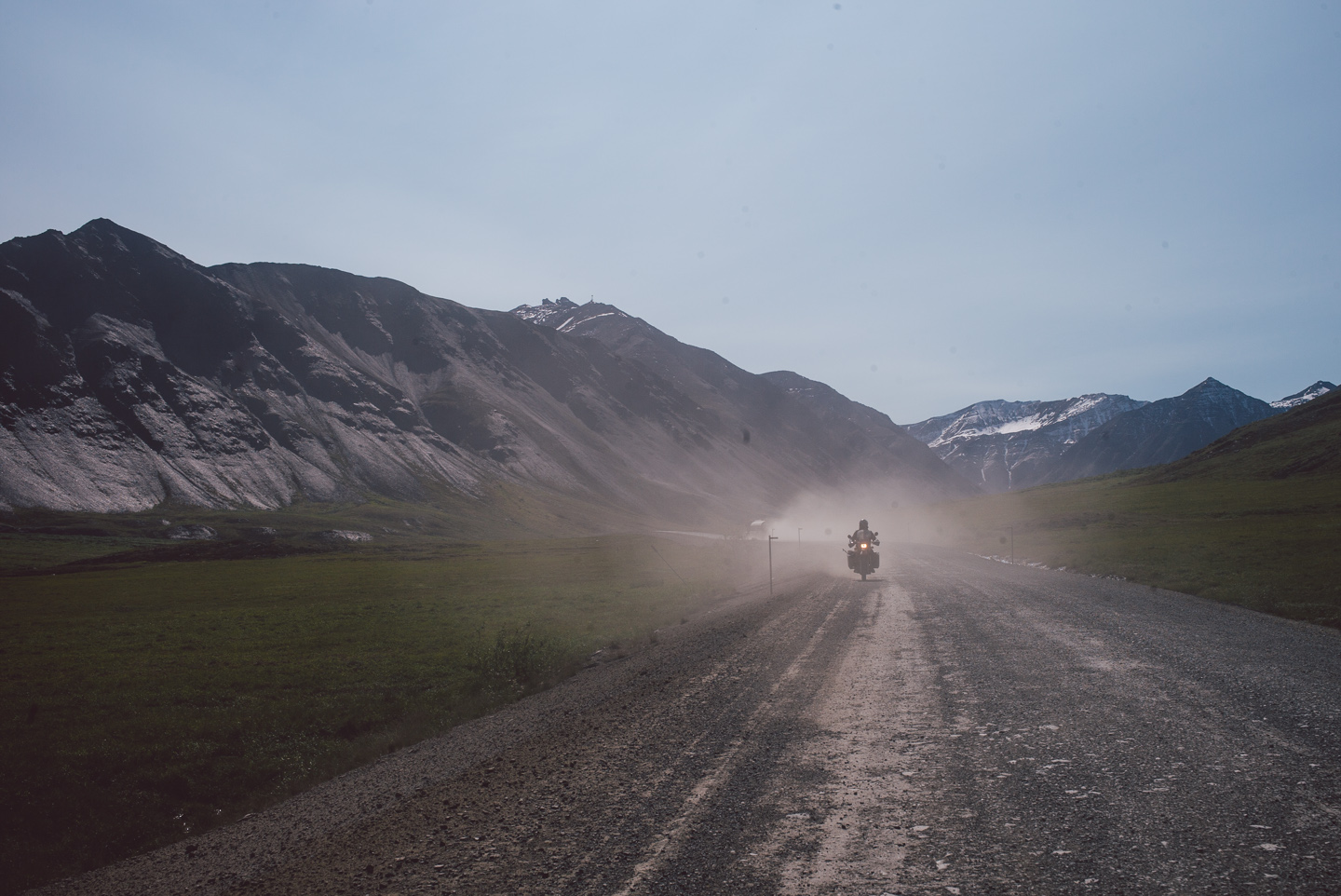
Many beautiful stretches of road turned into slightly terrifying adventures with trucks oncoming. All in good fun, of course. Some would slow down as they approached us where others had a sadistic sense of humor and sped up a bit, throwing a larger cloud of dust and mud our way.
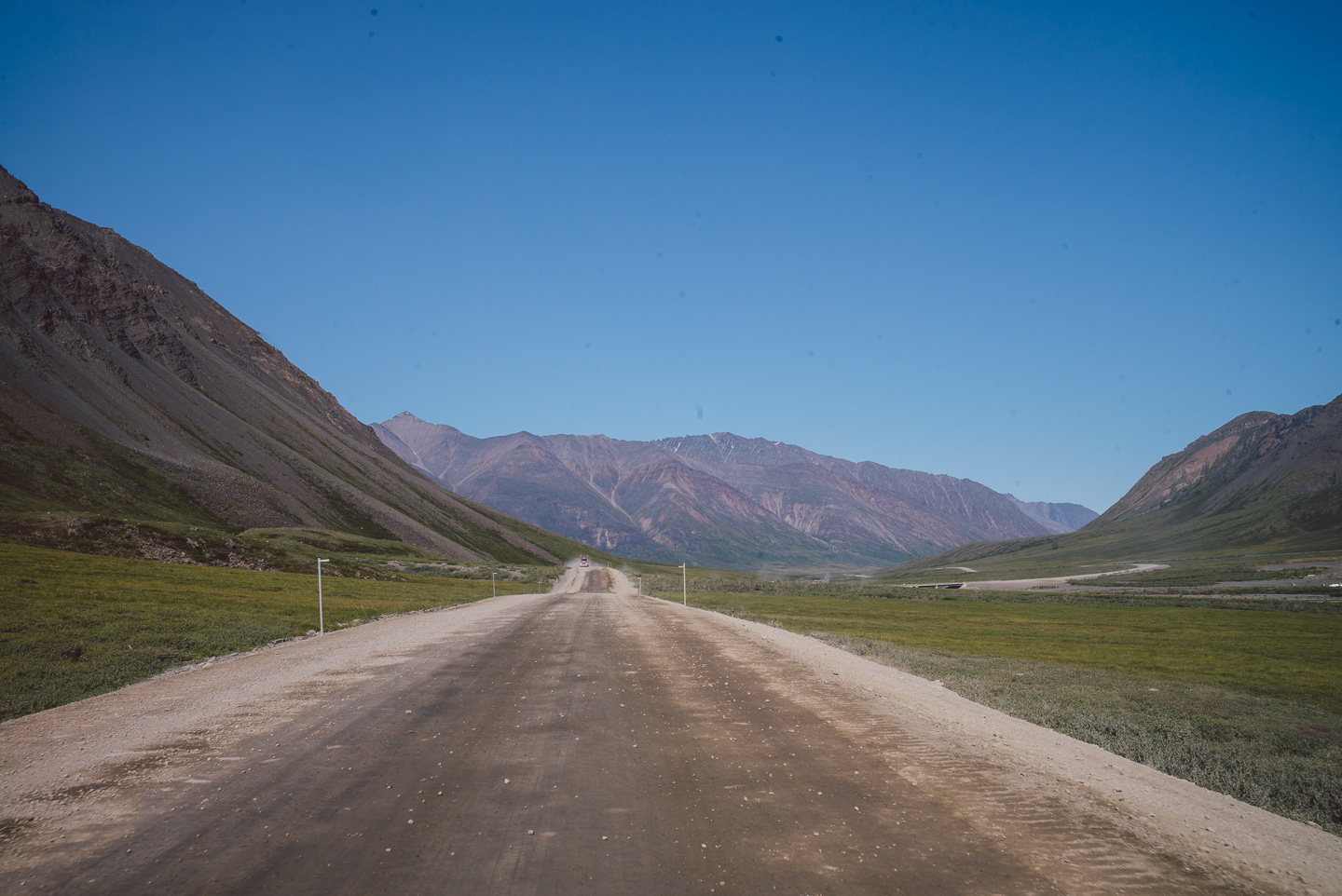
The Haul Road is their road, and you better know it.
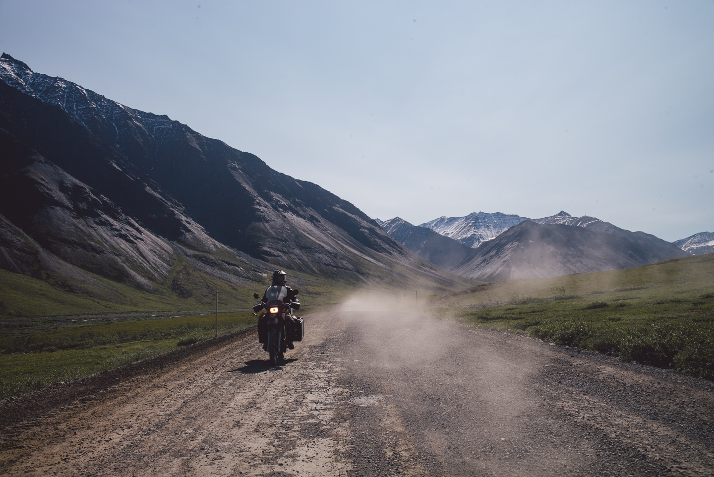
After the last descending road from Atigun Pass, the road straightens out a bit and riding gets slightly more leisurely (the truck count also went down a bit). While photos of the road don’t show it as being incredibly remarkable, one only has to point their head to the side to see the incredible textures and views of the place.
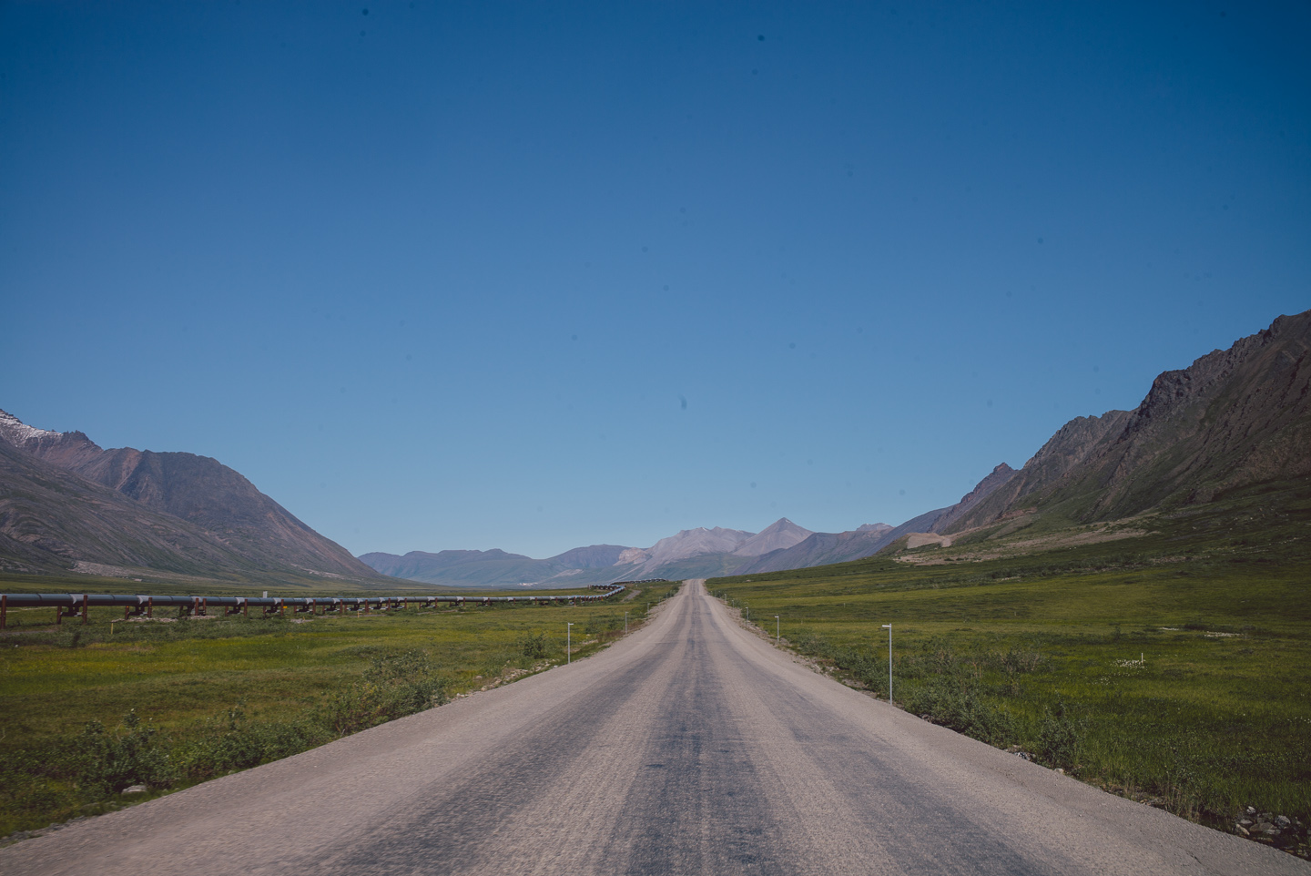
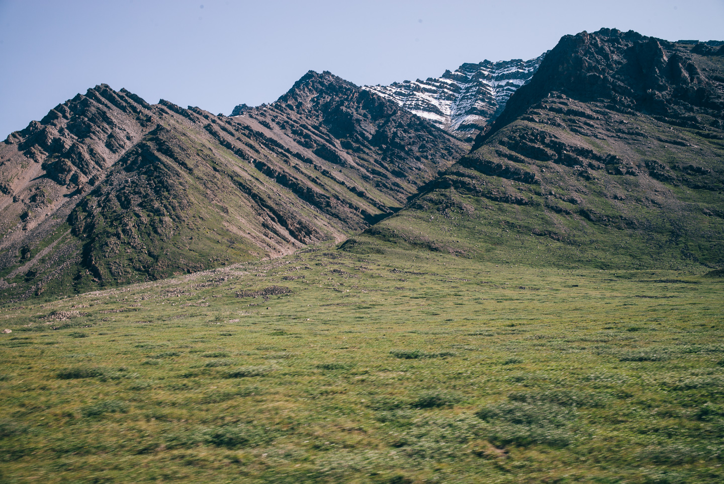
Or backward (what’s the worst that could happen?).
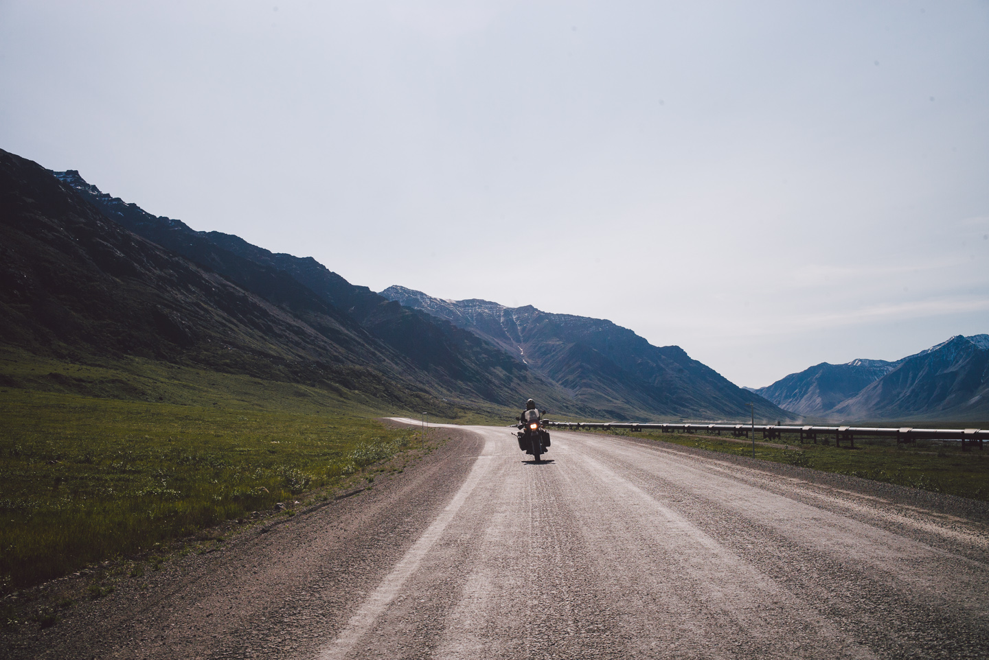
I made a quick stop to change my music and was quickly overwhelmed with the incredible mountain range that lay behind us and a cloud of hungry mosquitoes out for my blood.
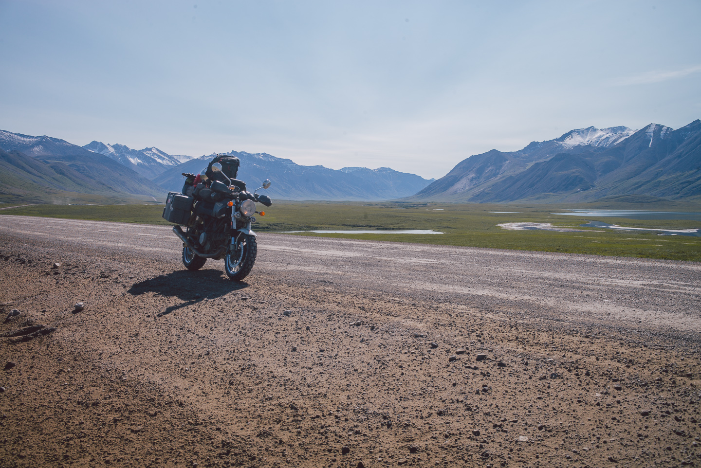
I regrouped with Stuart at a stop for road work. “Road work, heh-” I mumbled to myself in my helmet. “What kind of ‘road work’ could be done to a road that can barely qualify as one?” I snickered internally.
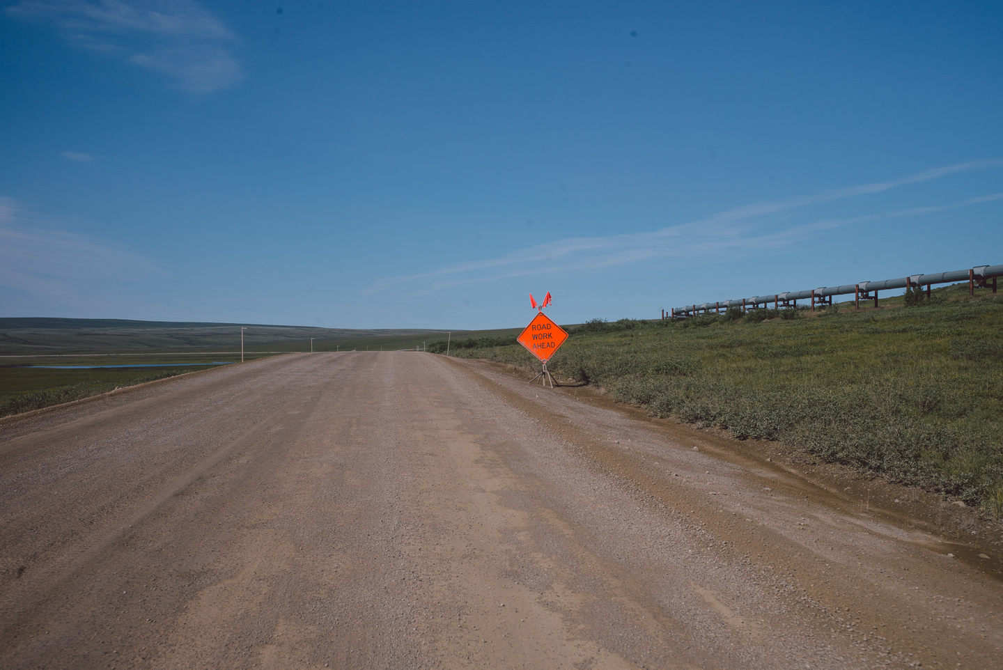
Quite a bit, as we were about to find out. The road work on the Dalton makes the rest of it look like a Disneyland central avenue, with steep descents on large riverbed-style rocks and constant traffic of trucks and machinery behind or next to you. We had a few close calls on this stretch.
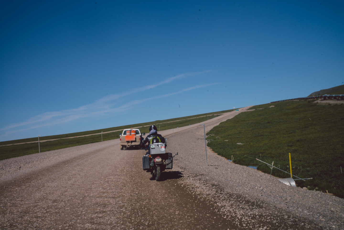
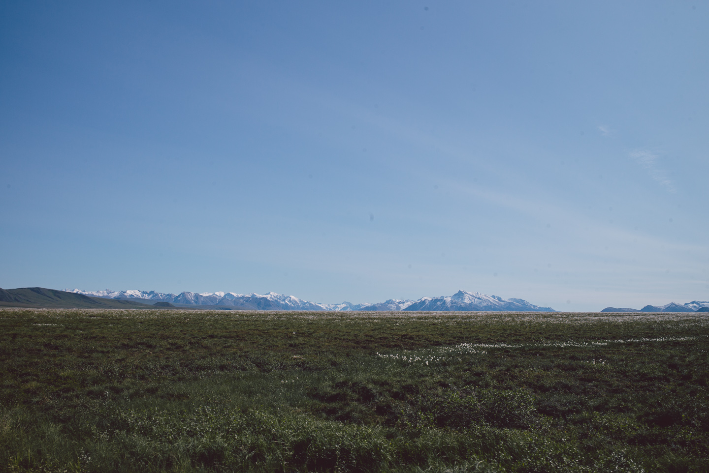
We happily made it past the 20-or-so miles of highway construction to find ourselves riding through highland meadows with snow-capped Brooks Range mountaintops on the horizon. The sheer amount of mosquitoes here boggles the mind. I have a few videos where you can see hundreds of them swarming around our heads. It’s literally hard to breathe.
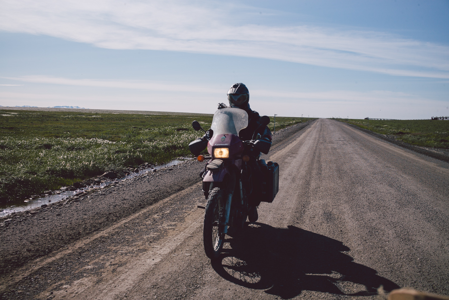
And so, we kept riding. We only stopped to add some gas to my tank (again: no gas stops the entire 250 miles to Prudhoe Bay from our last stop in Coldfoot) and eat a quick can of food while running in circles to keep the massive clouds of bloodsuckers off our face. Our riding gear was thankfully efficient in protecting from mosquito bites.
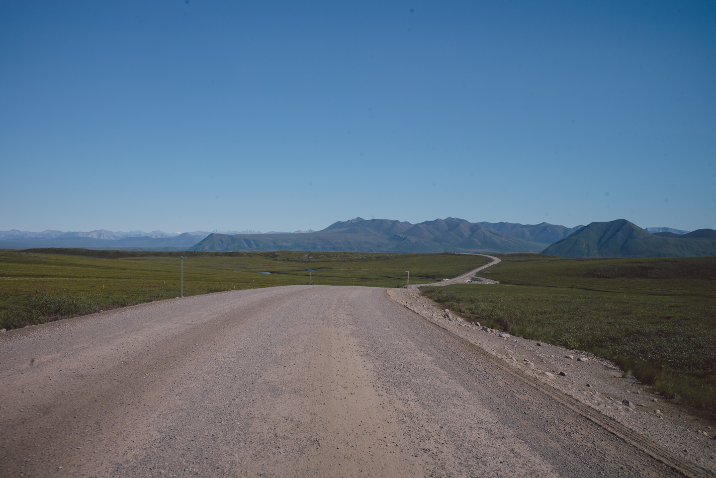
The landscape became increasingly stark.
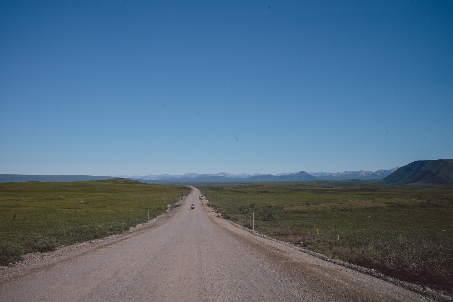
On the loosest and dustiest gravely roads we were often once again joined by our trucker friends. Ain’t nothing like a good cloud to the face. It builds character and puts you back in your place.
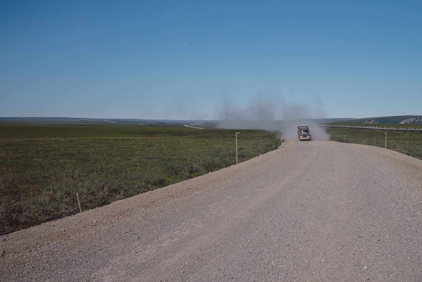
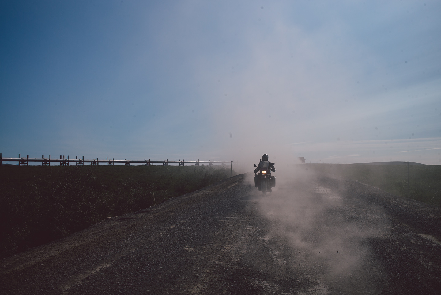
We made a quick stop after this photo and saw a large herd of caribou just behind us on the road holding back a pickup truck belonging to the pipeline security team that was shadowing us (or were they?). Amusingly, their attempts to run them off only had the herd running further on the road in front of their car. They eventually darted off toward the pipeline, as the incredibly stupid animals they are.
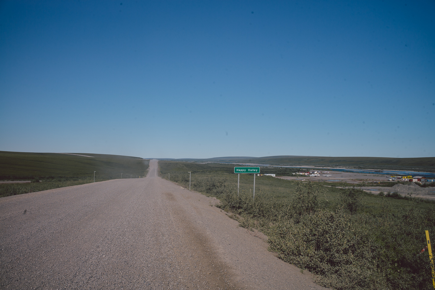
The people in charge of signage and place naming are not without a sense of humor (not shown here: “Oil Spill Hill” as well the “Oh Shit Turn”, all also with official highway signs).
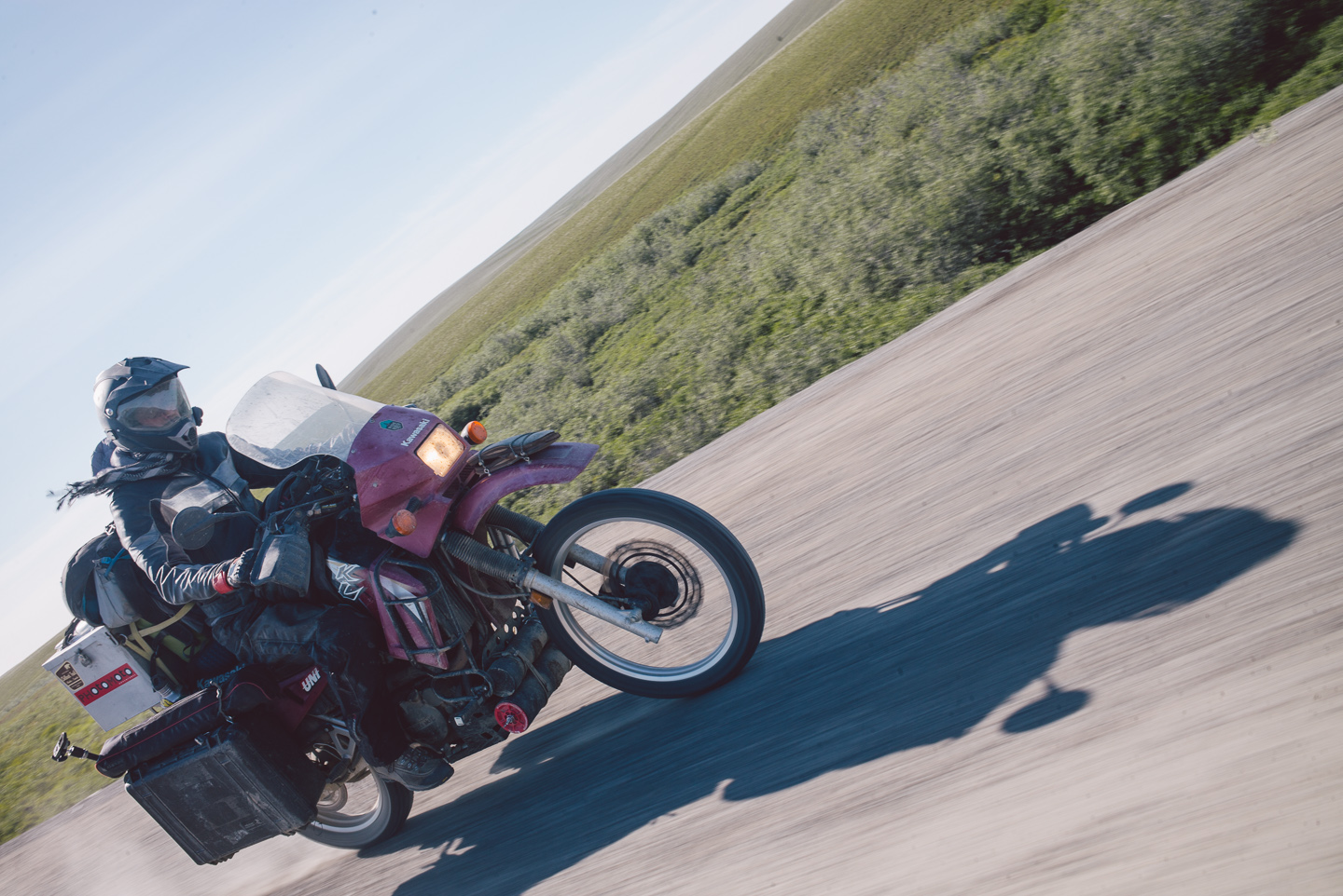
At this point, we had about a hundred miles to go and the landscape was completely sparse. We were getting cold and were pushing onward to make our destination.
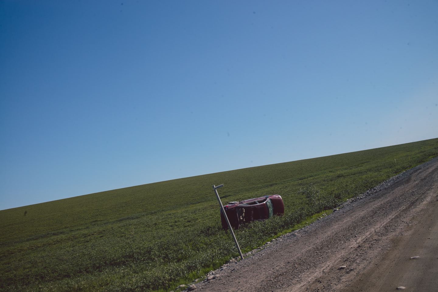
You have to be careful pushing yourself in a place like this. There’s always a few cars, trucks and other wrecks next to the road reminding you of where you are and how easily it is to crash.
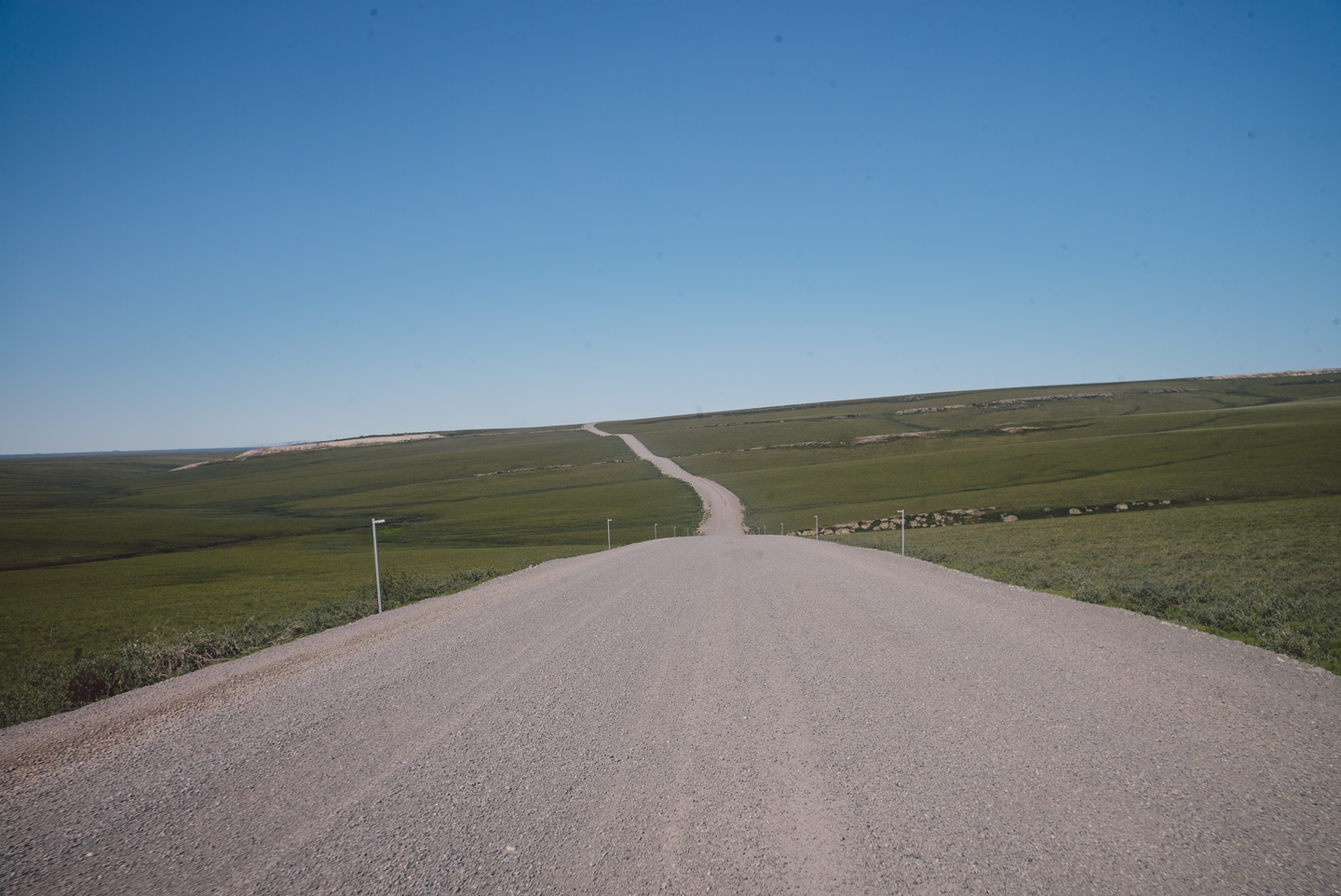
Did I mention the scenery was getting sparse?
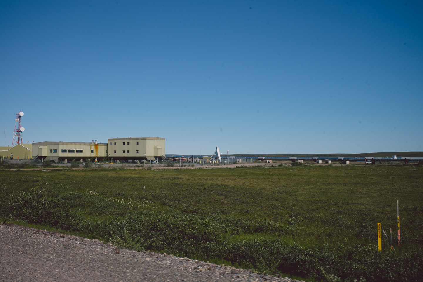
The only life you see around here are mosquitoes, caribou and trucks, but there’s also a few high-security pump stations along the pipeline riddled with antennas and green-painted buildings. They look pretty cool.
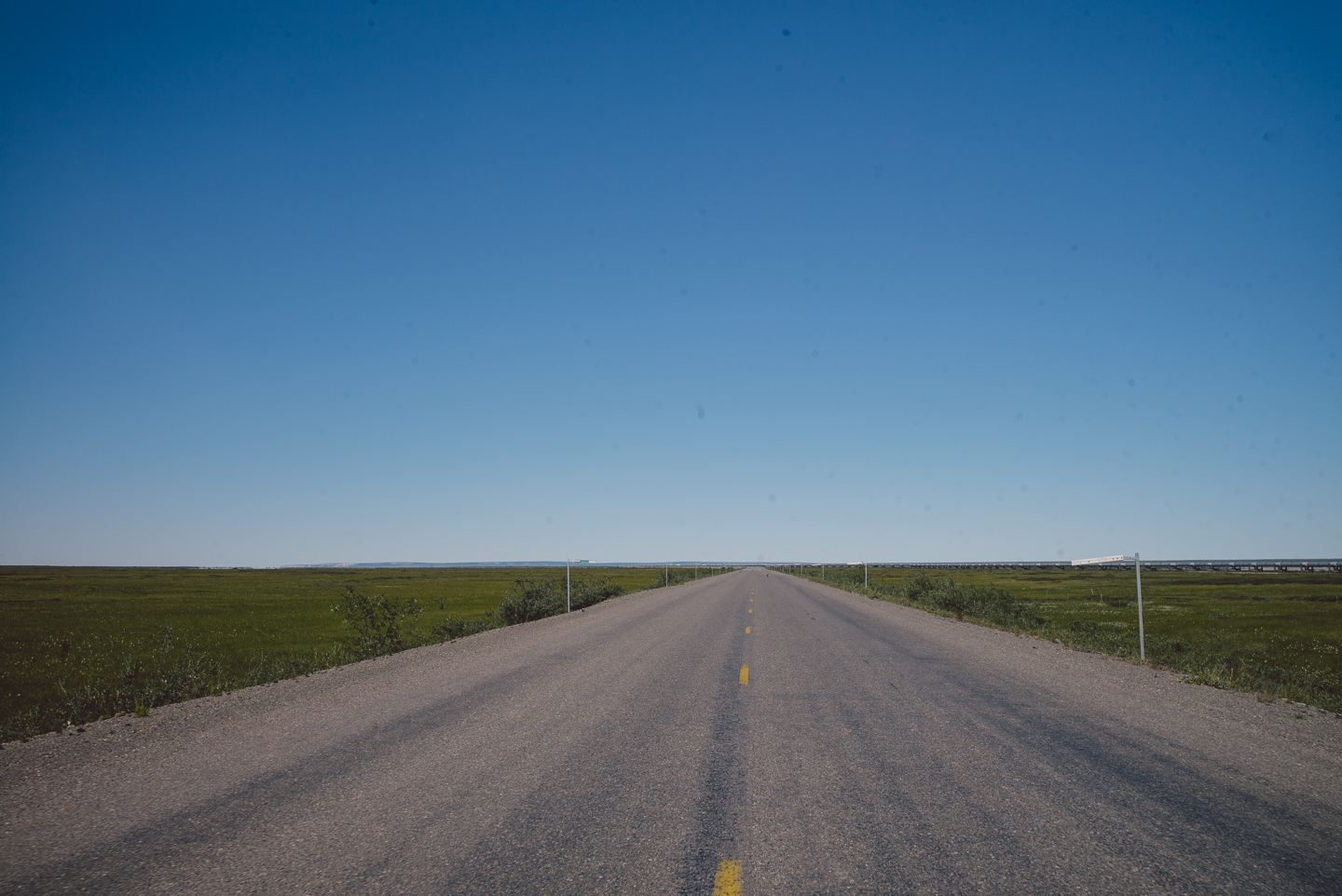
And would you know it: some of the road around the pump station was paved?!
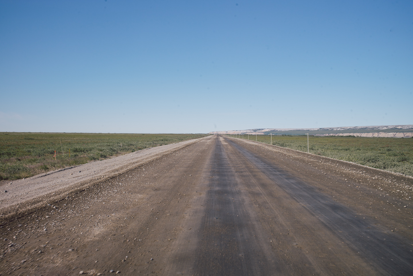
Not for long, of course.
While slick and smooth, the mud road didn’t throw up too many rocks or dust when traffic passed us, which was nice.
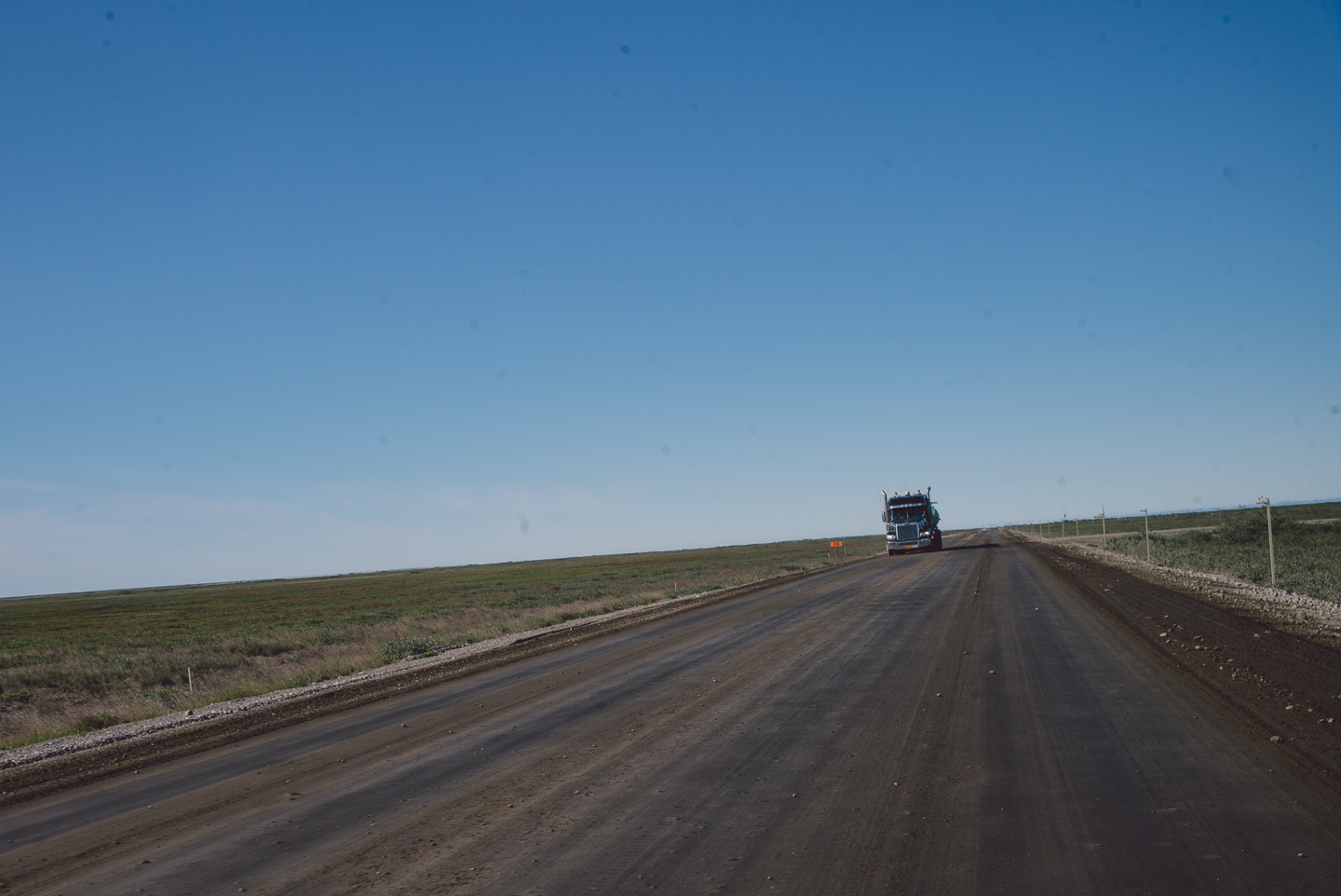
However, we were now on the flat tundra marsh that rolled all the way until ending in the Arctic Ocean, and the very cold winds were now picking up. I don’t think I’ve ever worn so many layers and still felt my very core freeze up from the sharp, dry cold winds blasting us.
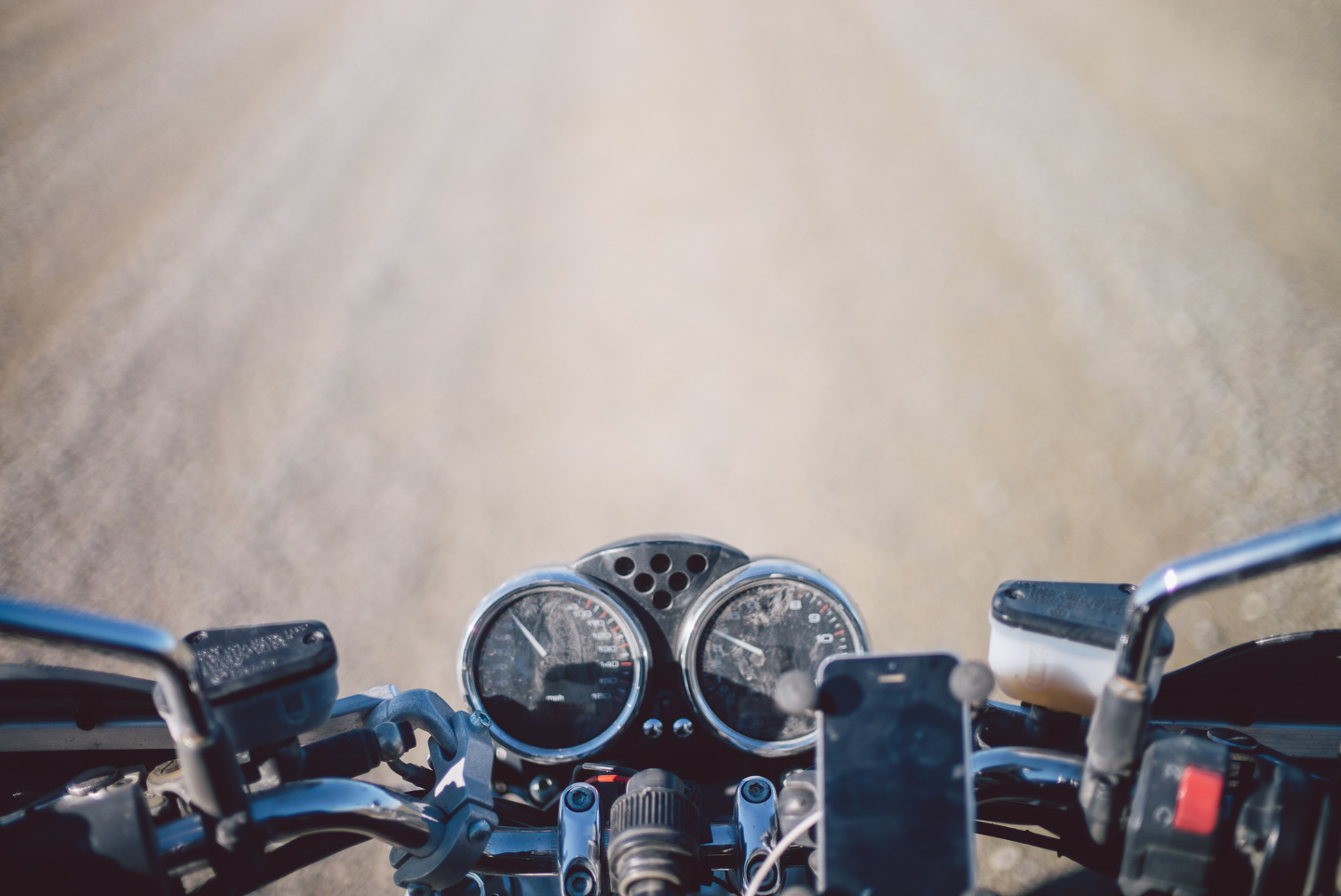
The bike was running like champ, enjoying the dense cool air.
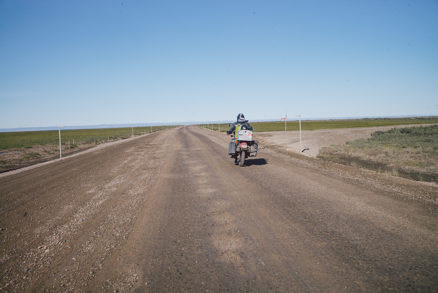
This was simply our last stretch, and I haven’t many photos of it. It was miserably cold, despite the sun being out, and a flat barren featureless landscape divided by a muddy gravel road. We rode as fast as we safely could.
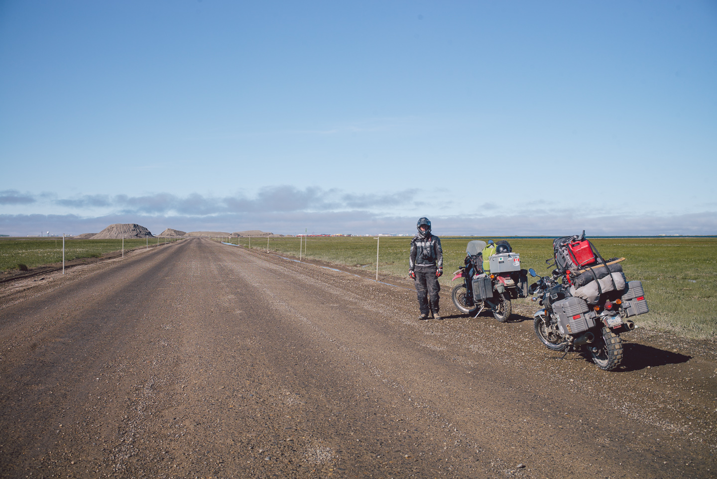
And finally, I ran out of gas just miles short of our destination. I quickly threw in a quarter gallon and got back on the bike. Stuart was actually frozen solid in this photo, when I tried to move him his feet snapped off and he fell to the ground, shattering in thousands of small icy pieces.
We made it! It’s incredible, but we wasted no time celebrating. We were simply too cold. We got gas at the only gas station in town and checked into the only hotel in town. Exhausted and icy, we warmed up for a few hours before checking out the darkest magic hour around 2 AM to take photos of Prudhoe Bay.
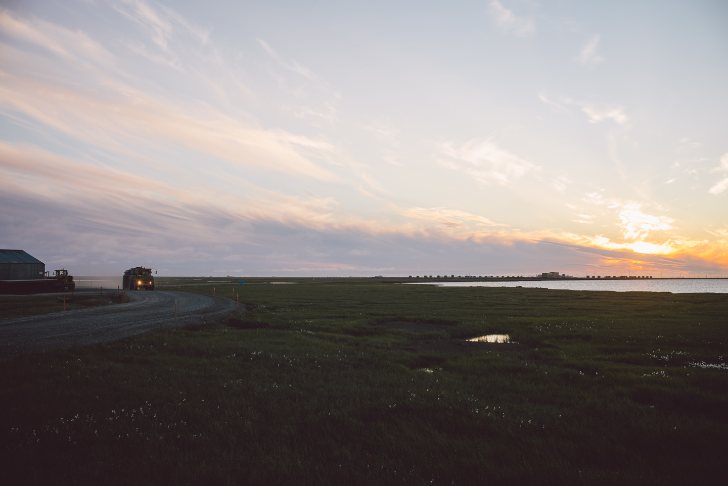
Prudhoe Bay isn’t a village or a camp. It’s really simply a work community. When we asked locals how many people lived here, they laughed a bit and answered “nobody”.
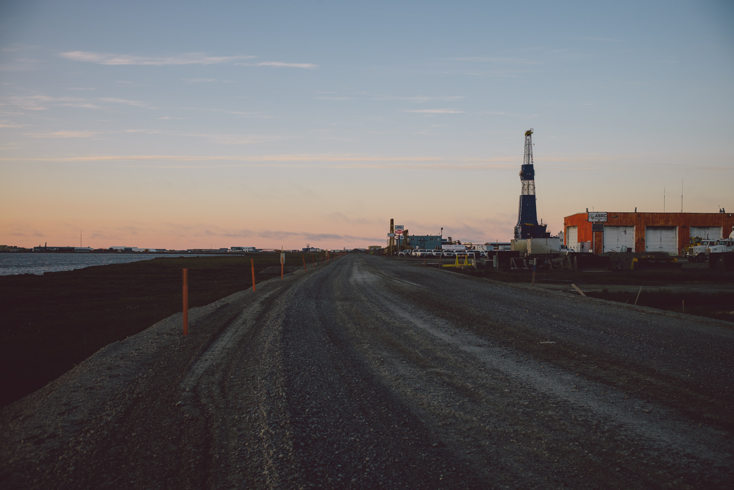
It’s a place where people come to work. In fact, we were told anyone could come up here and get work, although the threat of crippling depression and existential dread is very real. There is nothing here. It is a flat plane covered in machinery, battered by arctic winds and coated in dust and mud.
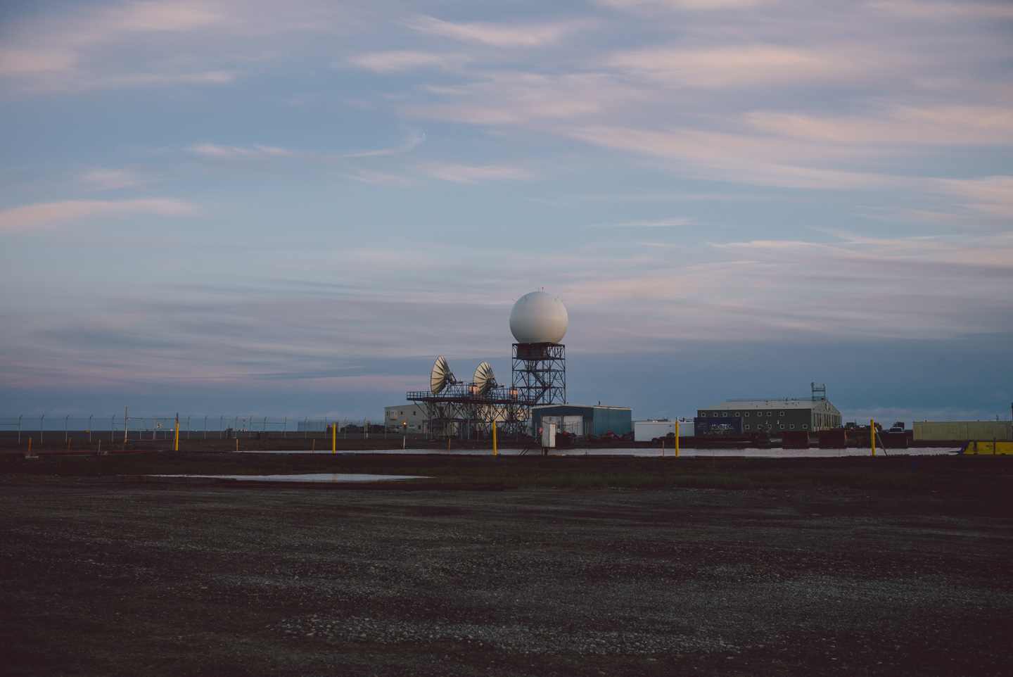
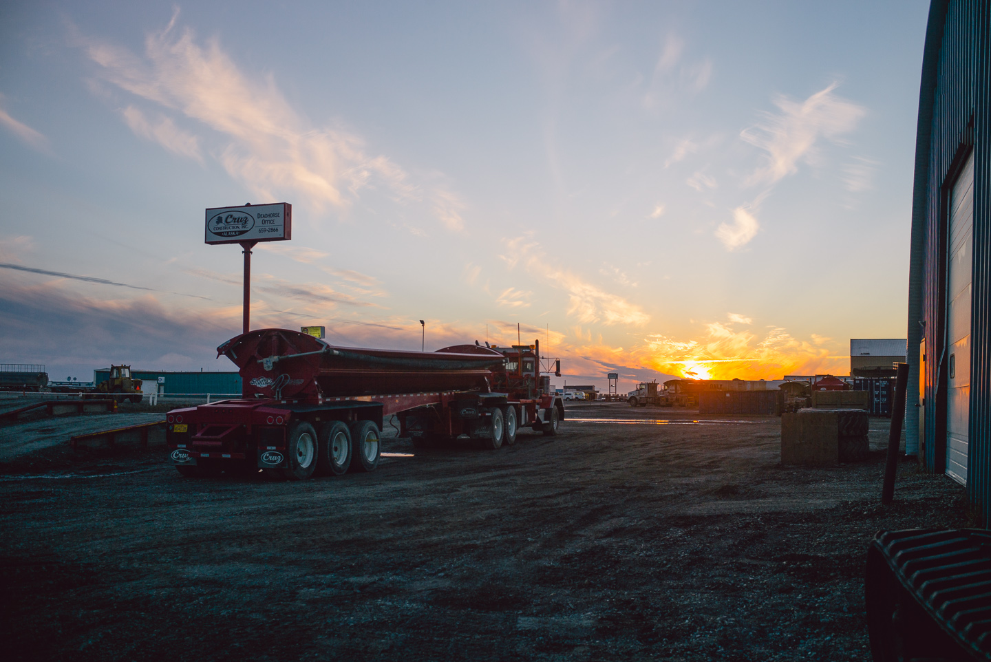
Most people aren’t stupid enough to drive up here. Prudhoe Bay has a pretty respectable airport, which looked stunning in the late night light.
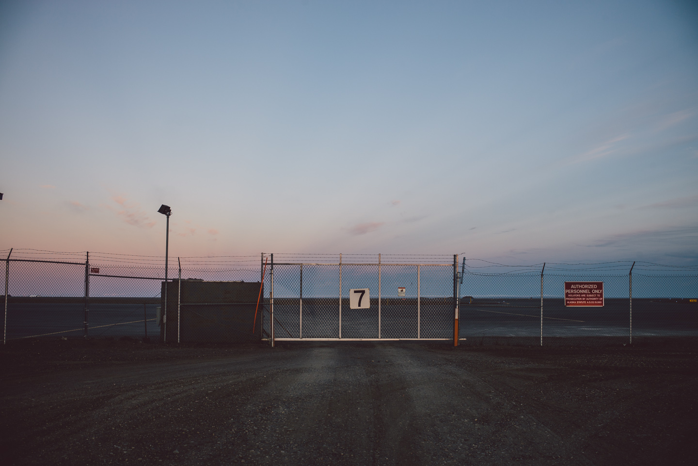
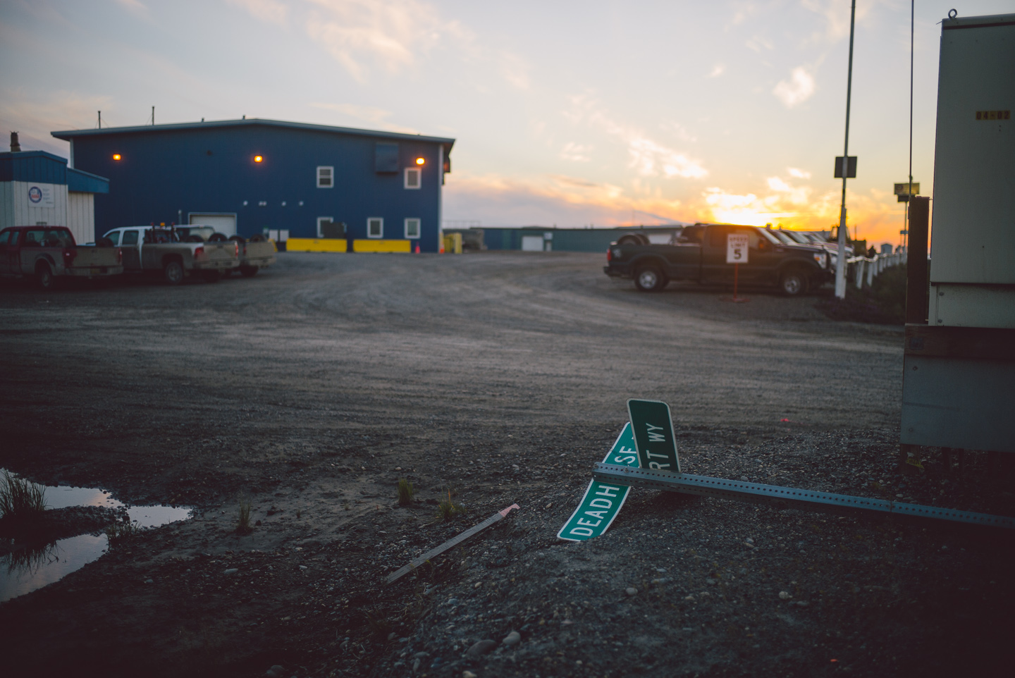
We enjoyed exploring the almost post-apocalyptic landscape before heading back to our beautiful hotel (which was, just as I described earlier, a camp-style building).
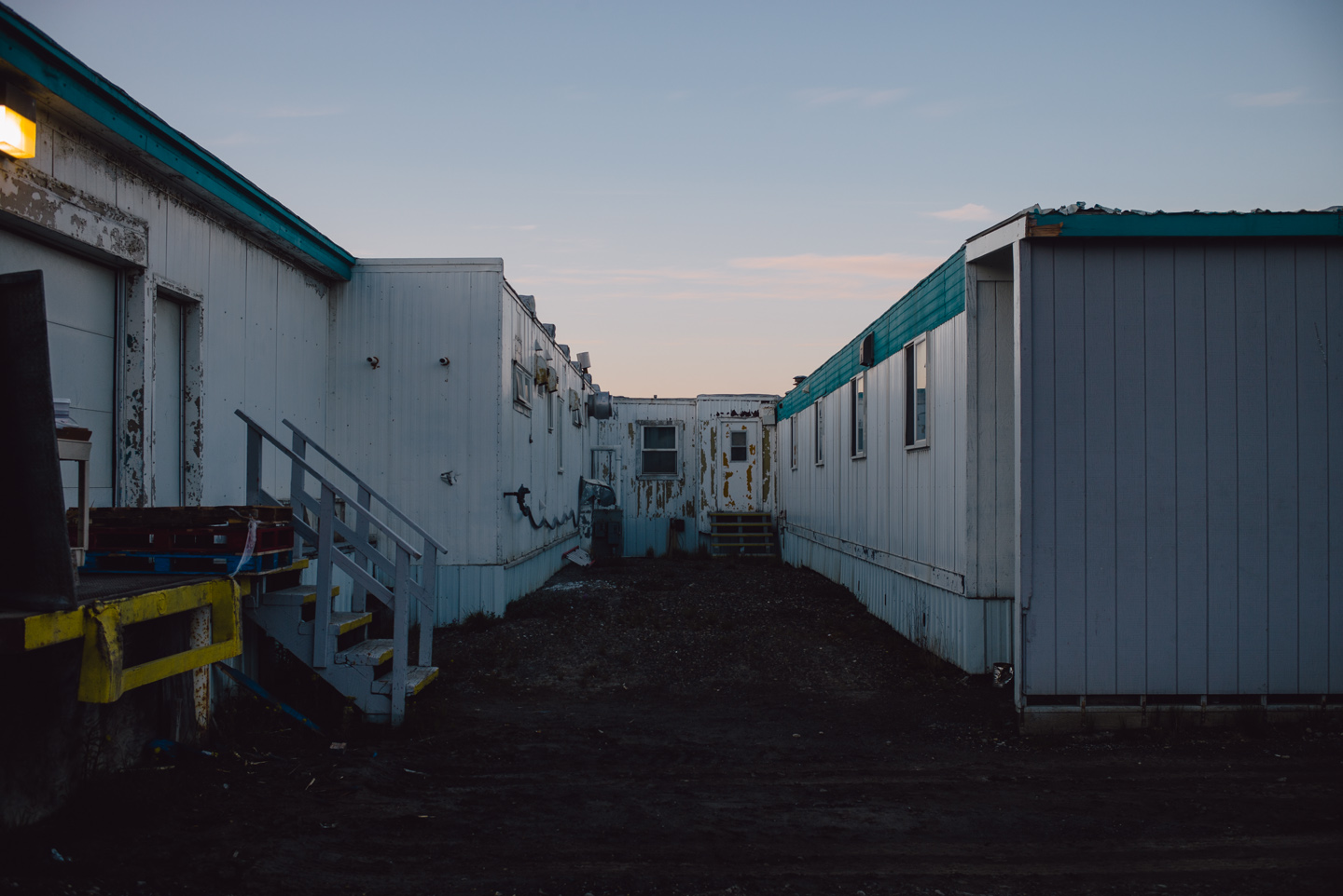
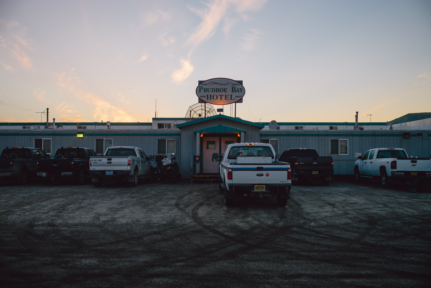
It is mostly inhabited by workers on the oil fields. Living here has its perks: the food, cooked fresh for every meal, is free. You can take as many snacks as you want from the kitchen at any time of the day (after all, the oil field works day and night). This essentially meant that the Prudhoe Bay hotel was an unlimited Hot Pockets buffet with included lodging.
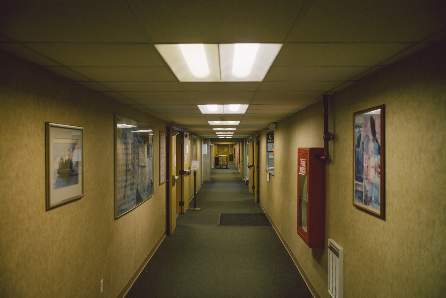
They had Wi-Fi too, but like booze, any risqué websites or streaming services were prohibited. People up here live a harsh life.
We slept in our dorm-style rooms and awoke with a strong desire to flee this uncanny place, and the beginnings of rain coming down from the sky expedited our departure. We were quickly on our way out.
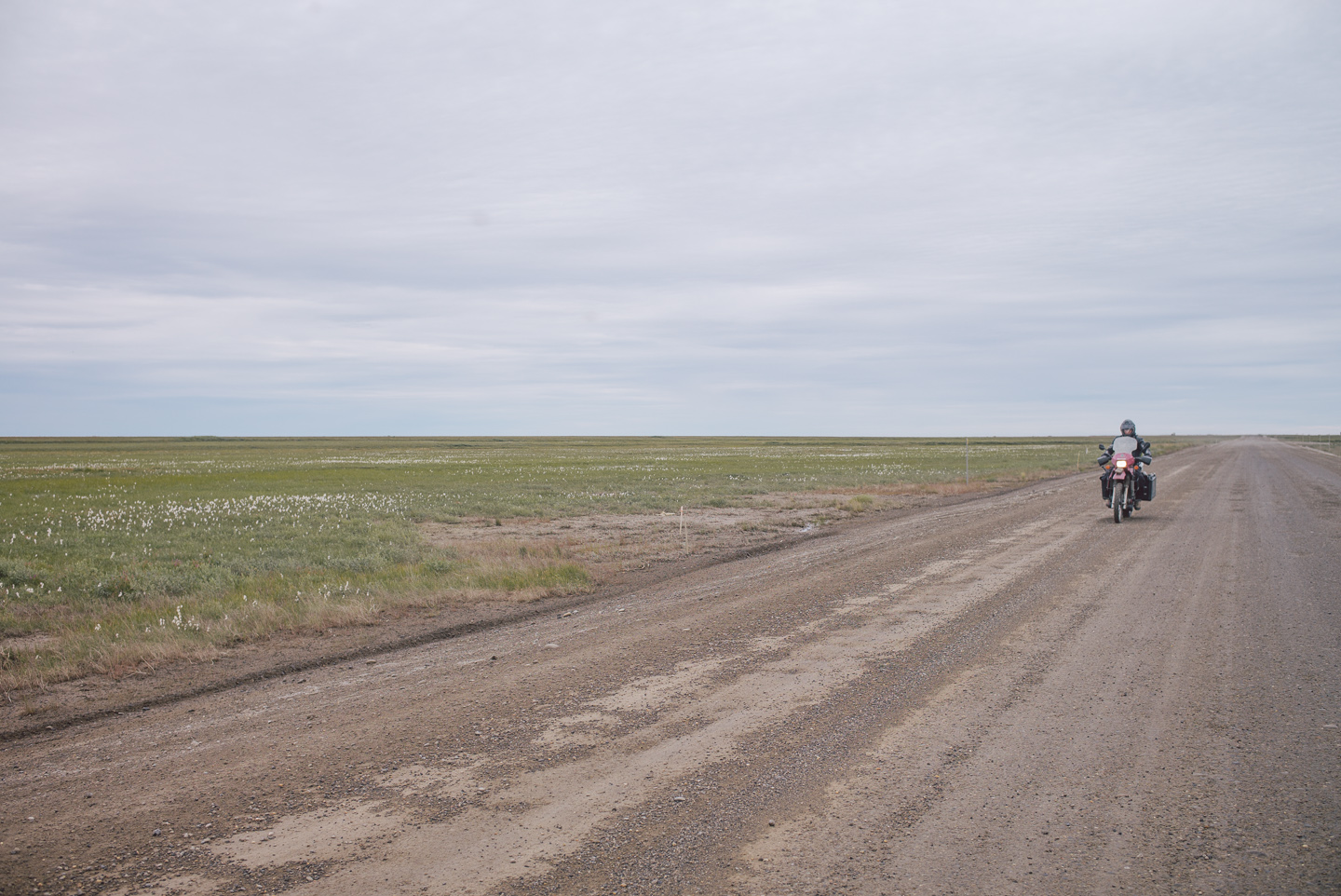
The roads had gotten a bit wet, but we still rode them at high speed. The cloud actually made for a nice backdrop, and the scenery felt entirely different on the way out.
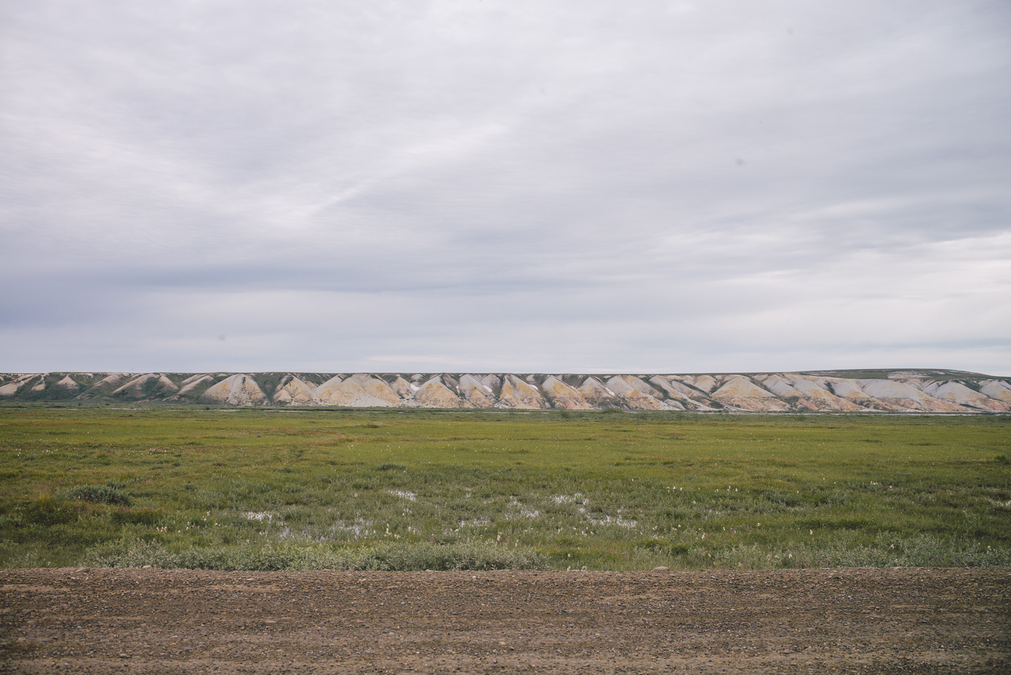
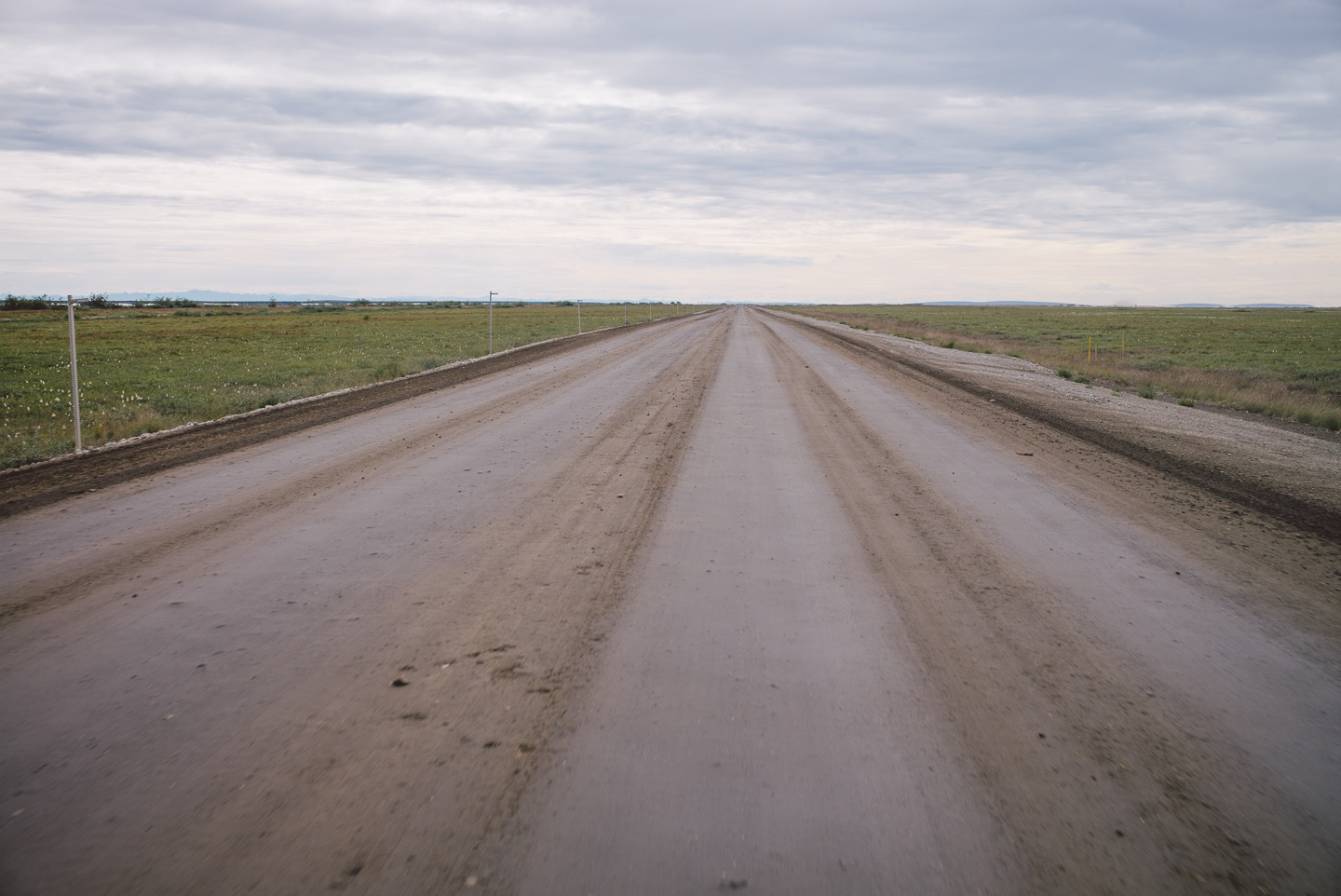
We quickly finished the first 100 miles over the flat tundra and rolled up the first hills. Several trucks greeted us with friendly clouds of dust and sharp rocks.
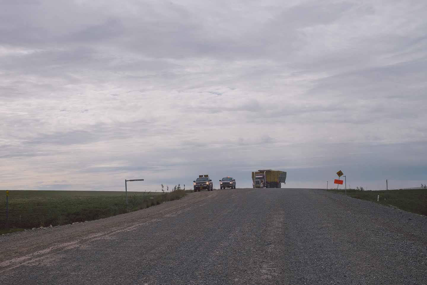
We also saw a considerable amount of caribou on the way back. Some ran alongside us, others (a mother and calf) were lying beside the road staring at us as we passed by, and one of these clever gems of nature them jumped out of the bush next to the road without warning, ran across and jumped across my front fender with about a foot to spare. I could count its eyelashes.
After having recovered from nearly shitting myself (– a full-speed run-in with a caribou is an easy way to die on this road) I rode further down, a few more caribou wandering over the gravely road like beautiful, brainless majestically walking goldfish.
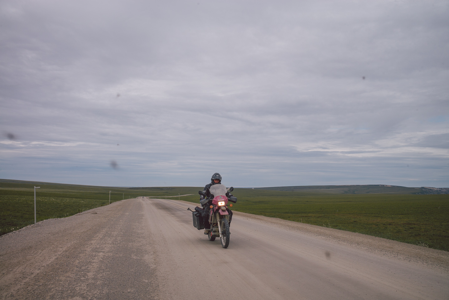
I stopped a bit down the road to calm my rapidly beating heart and to take a photo of Stuart passing me. Guest starring: the Dalton mosquito gang! They would show up in pretty much every photo of the day after this. Thanks guys.
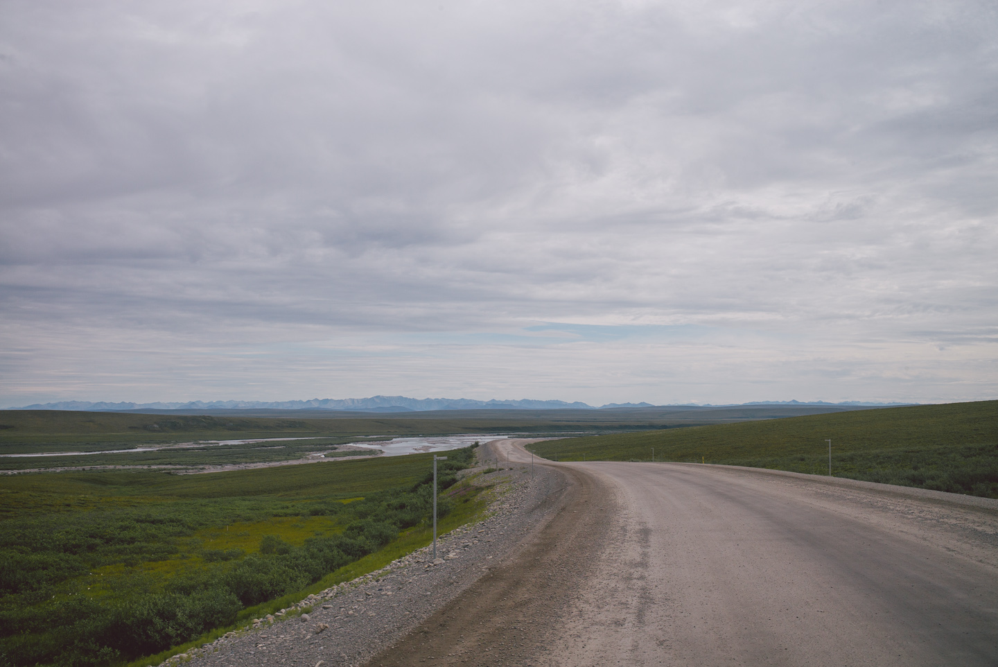
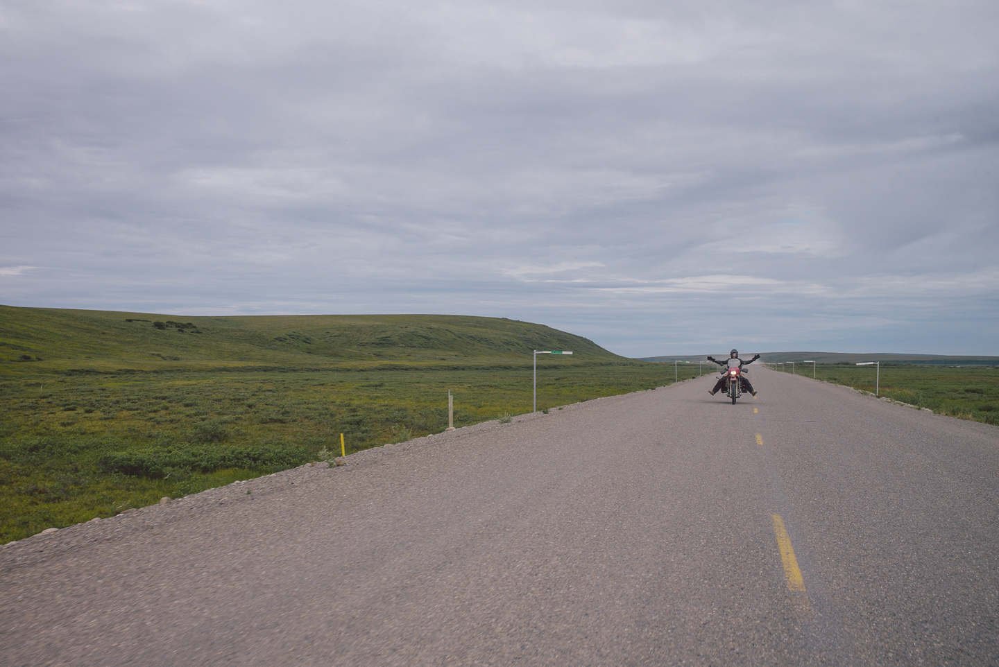
It was remarkably calmer on the road, with far less trucks, so we felt comfortable rolling at a decent speed and communicating back and forth with interpretative motorcycle dance.
The sky, however, was growing ever more threatening with a big rainstorm approaching from the East.
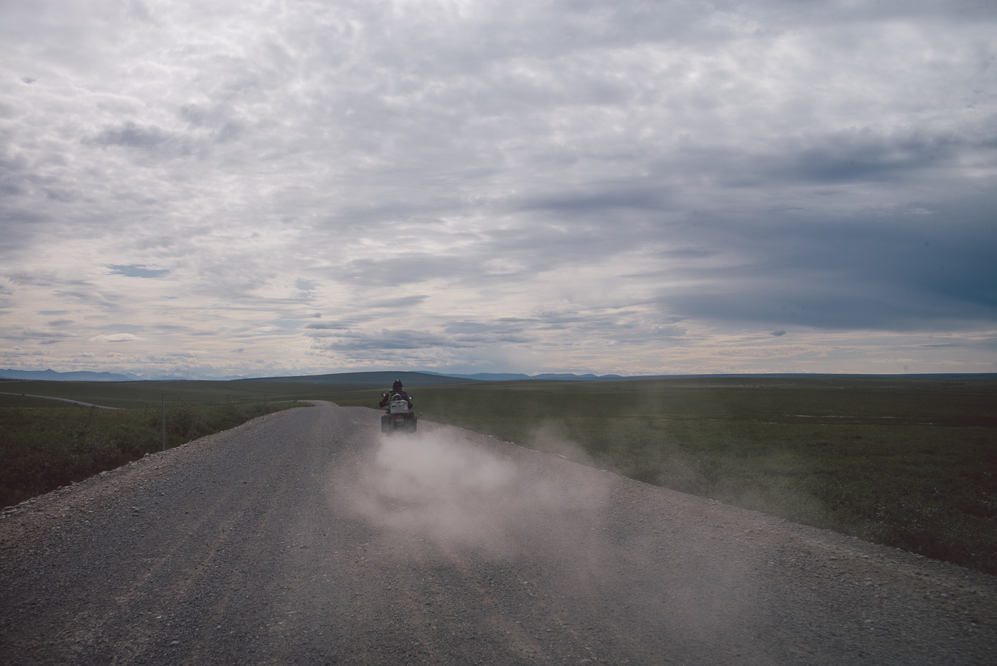
It made for an incredibly cool end-of-the-world-ly atmosphere.
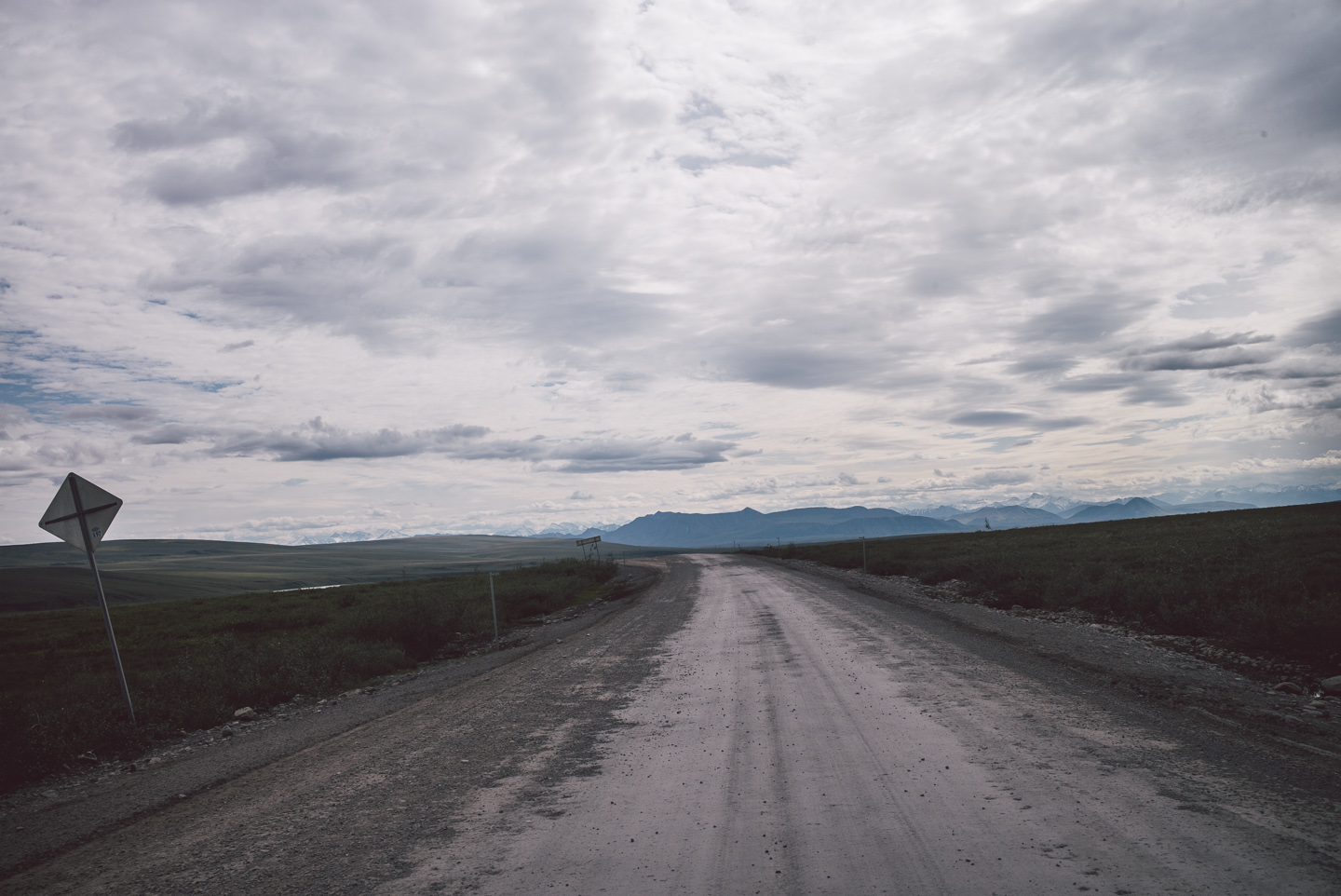
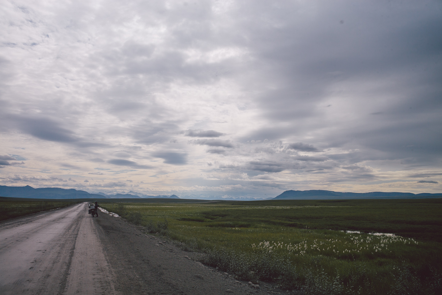
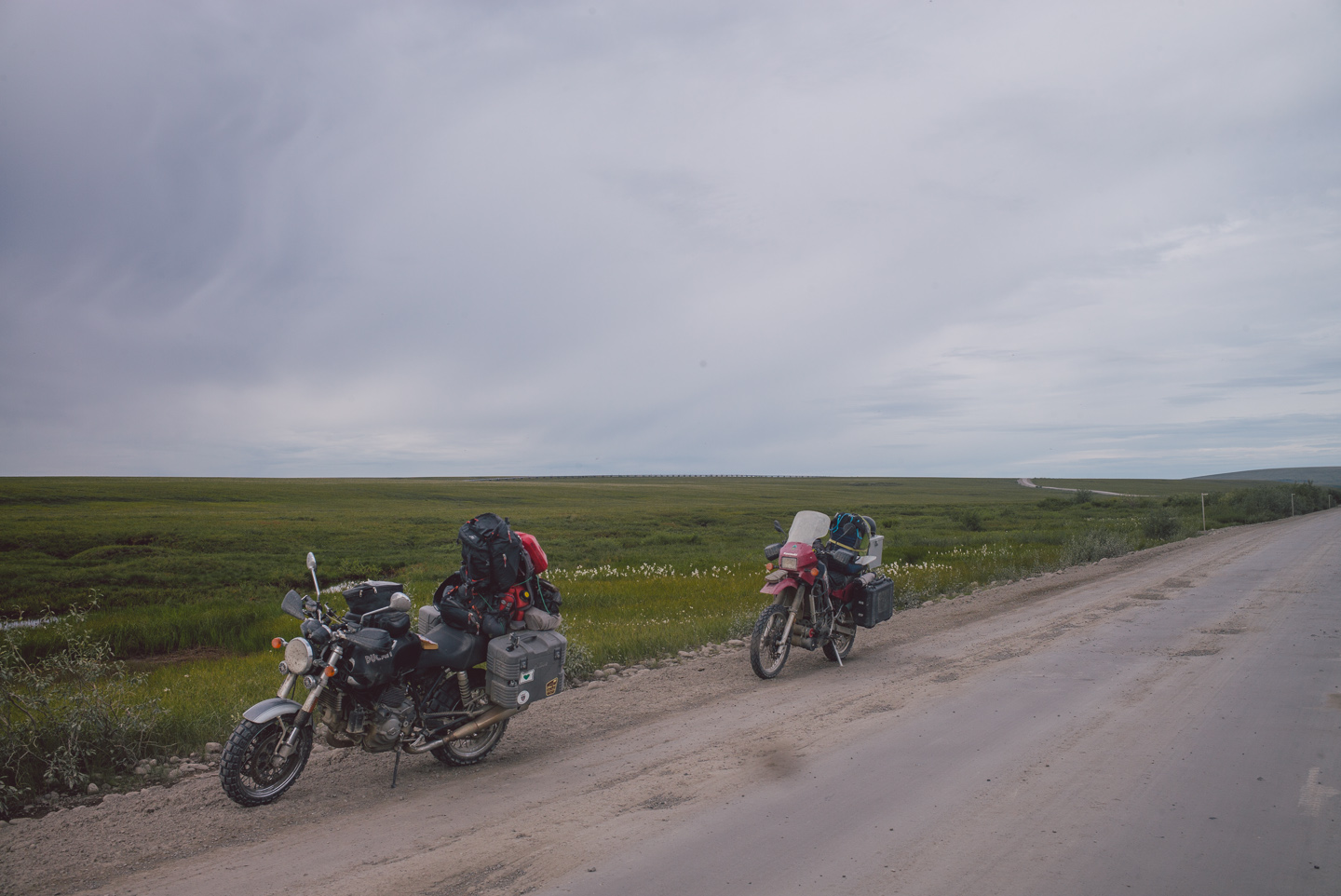
The difference in mood and appearance of the scenery was truly remarkable, and we enjoyed getting off the bikes a few times to stretch our legs, gas up and take photos before the mosquitoes chased us off.
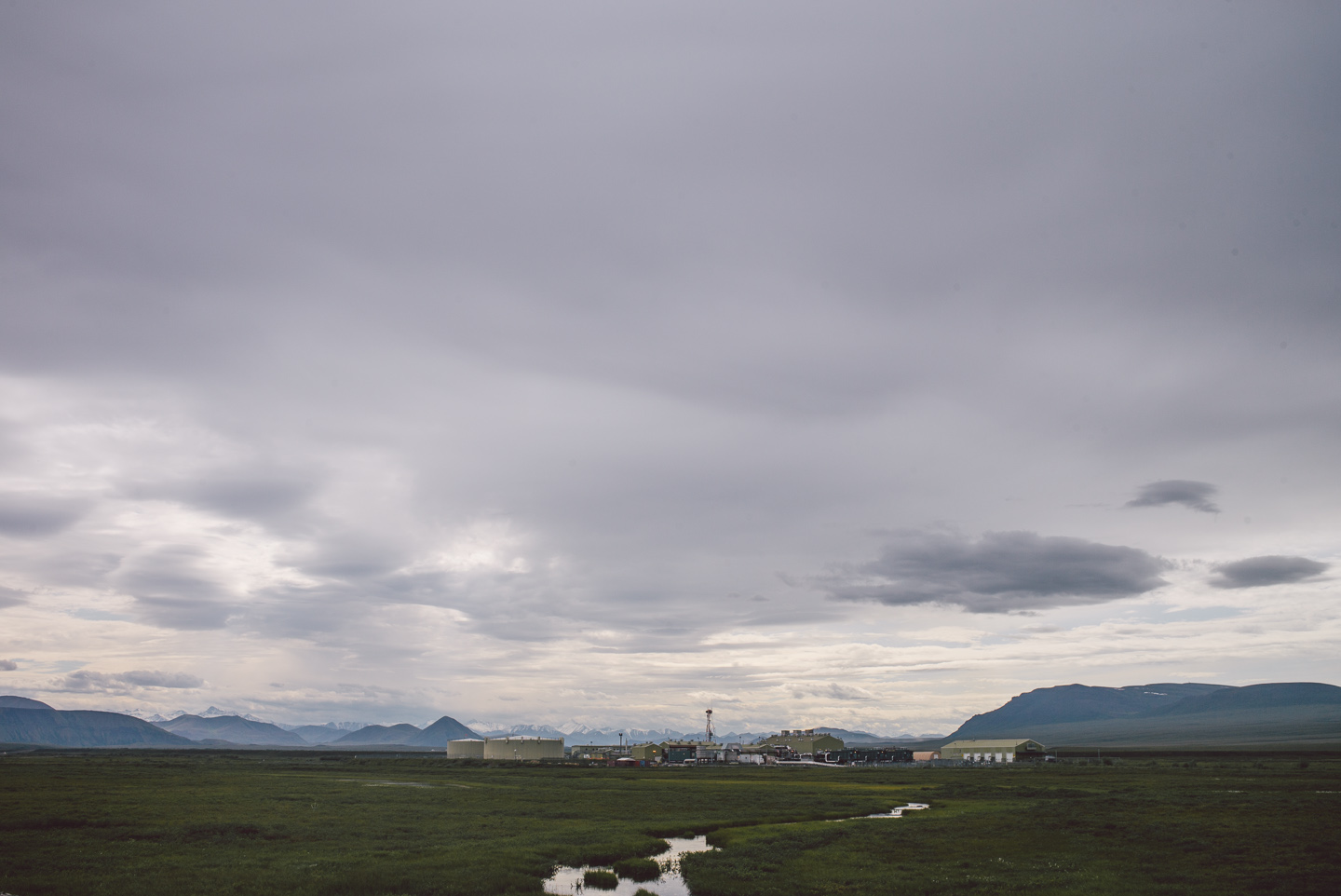
Here is one of the pump stations, framed with the sky and mountains as one of my favorite photos of human civilization I have taken on this trip so far.
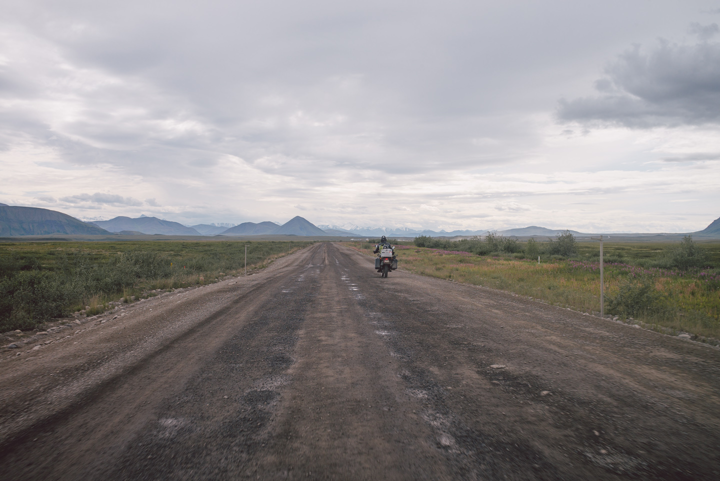
With the rain and wind, the road had gotten curiously worse in just 24 hours.
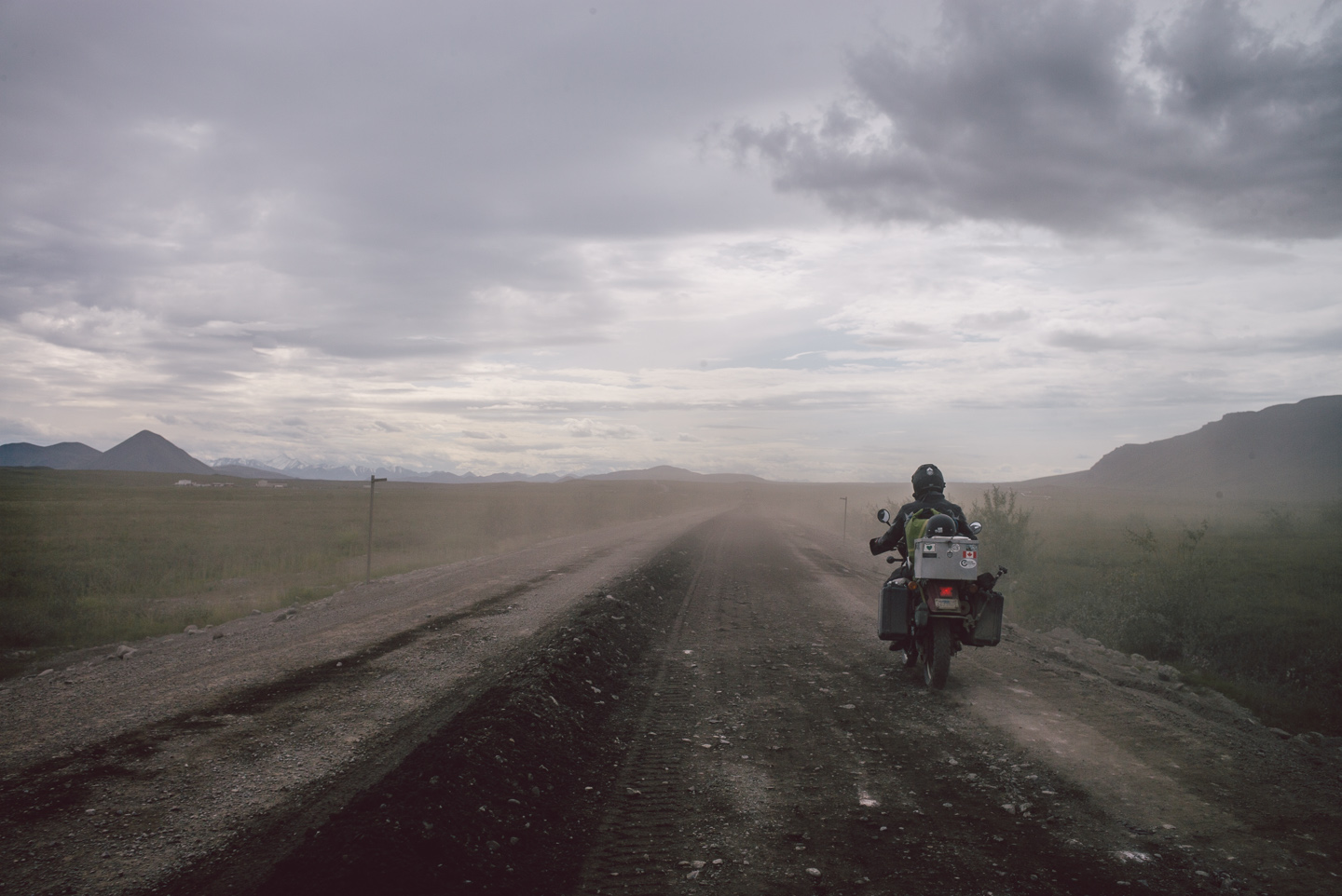
We passed one truck’s cloud of love only to find a giant mount of dirt in the middle of the road with no warning. Again, it pays not to be distracted on this road, ever. I narrowly avoided burying the front end of the GT1000 in the dirt and steered away from it with one hand on the handlebar and the other on my camera.
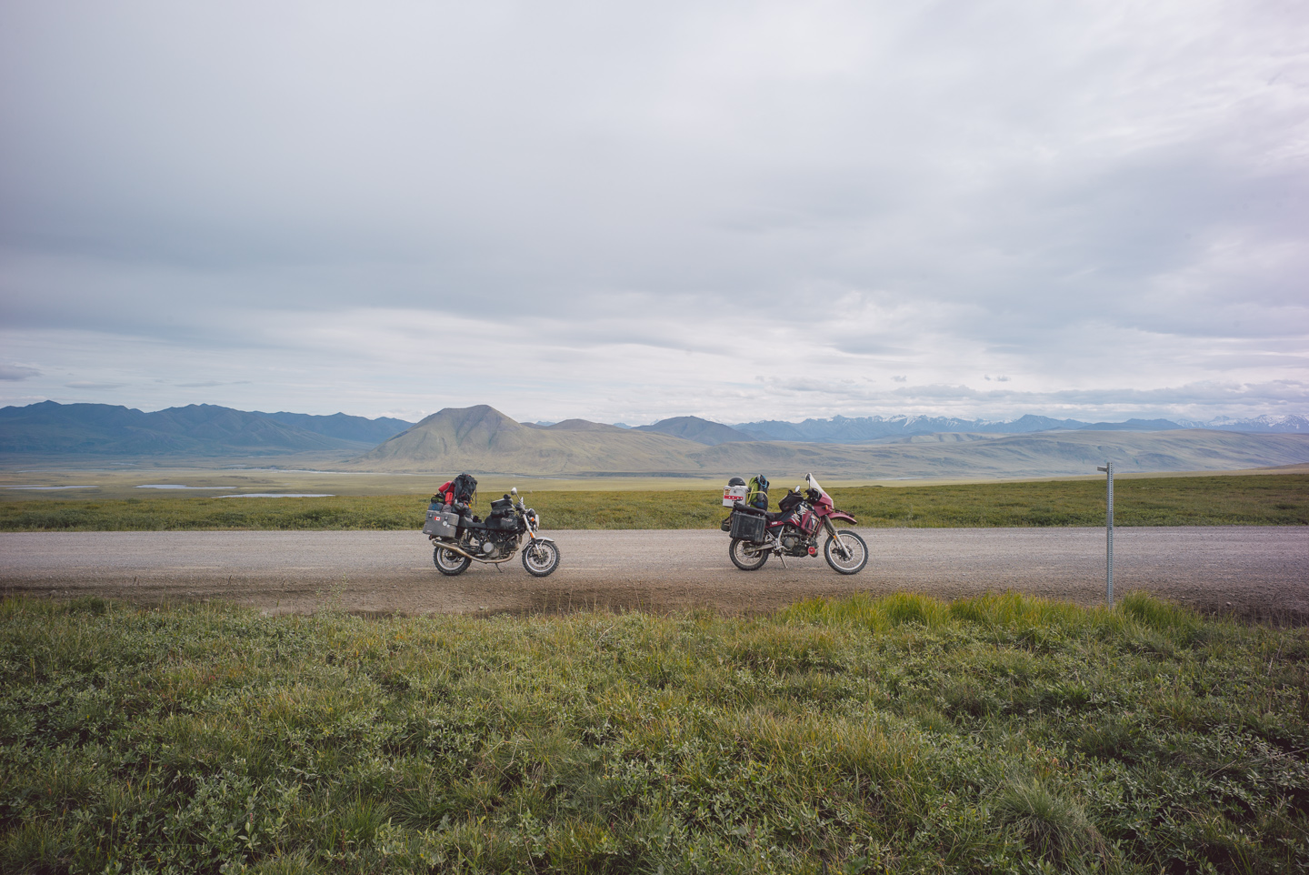
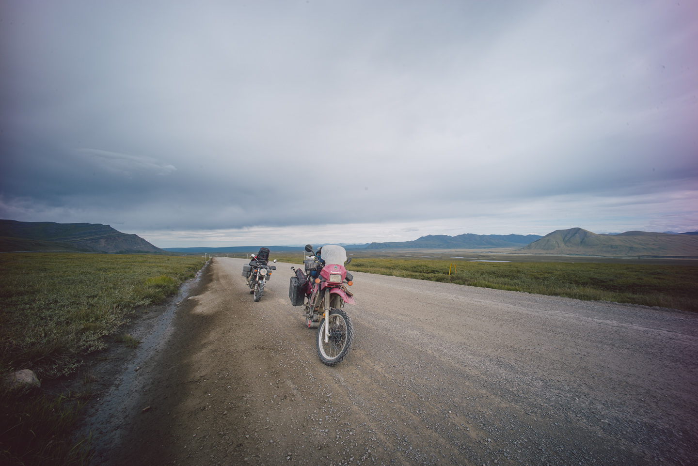
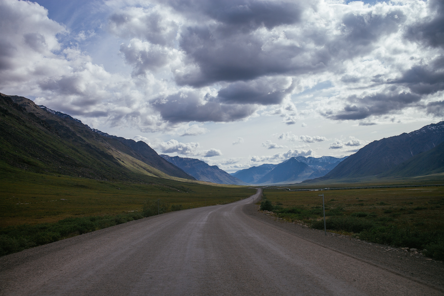
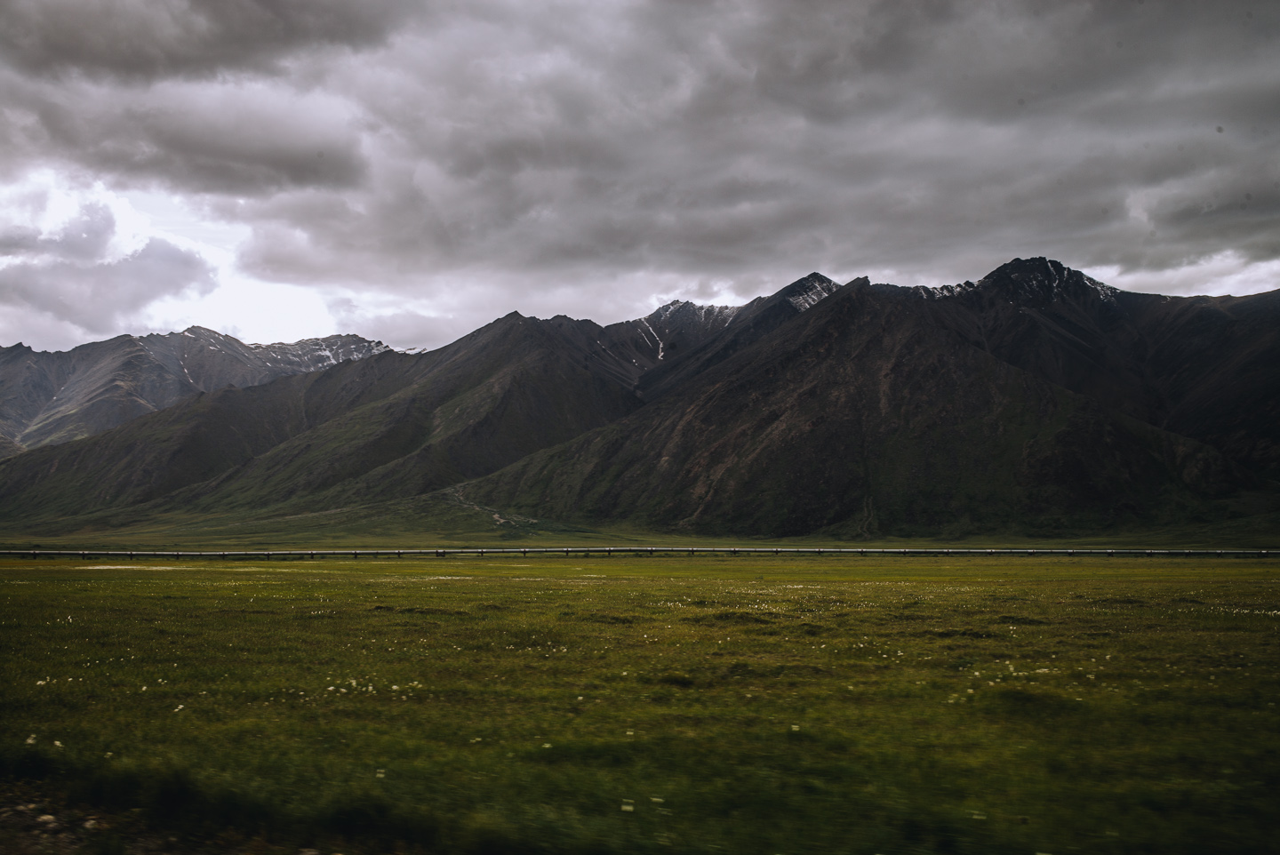
There aren’t many words that can describe the views coming up as we are coming towards the Brooks Range again, but I will say this: Alaska has shades of blue that I didn’t think could exist in natural light at all. A lot of the otherworldly shades and colors in these photos aren’t a result of editing, but of the light in this strange place.
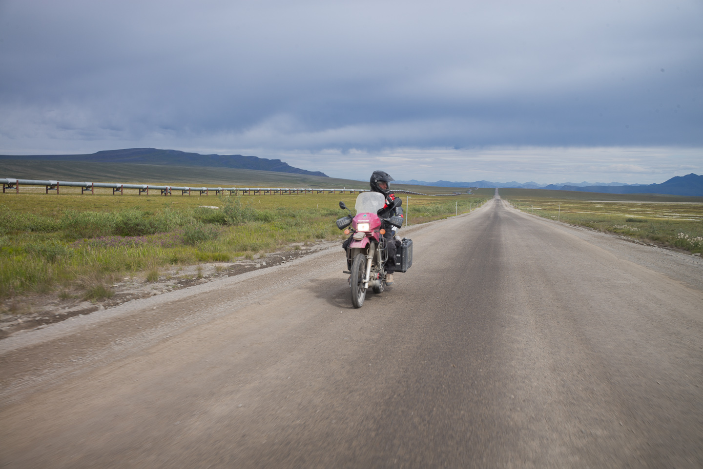
We were outrunning the rain storm for now — just barely.
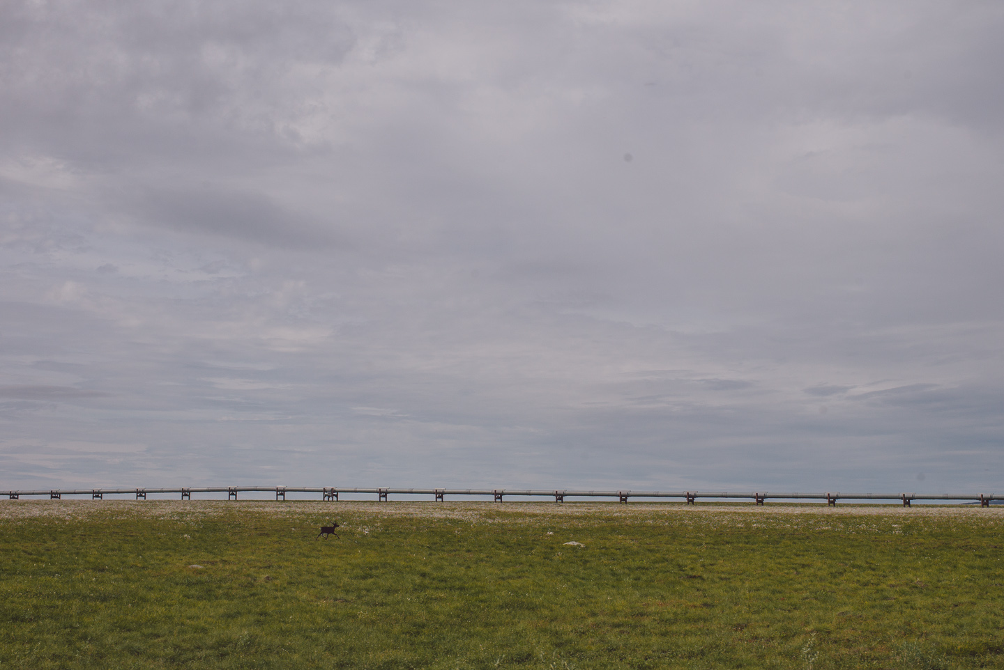
This was — thank fuck — the last caribou I saw on the road. They would not be missed.
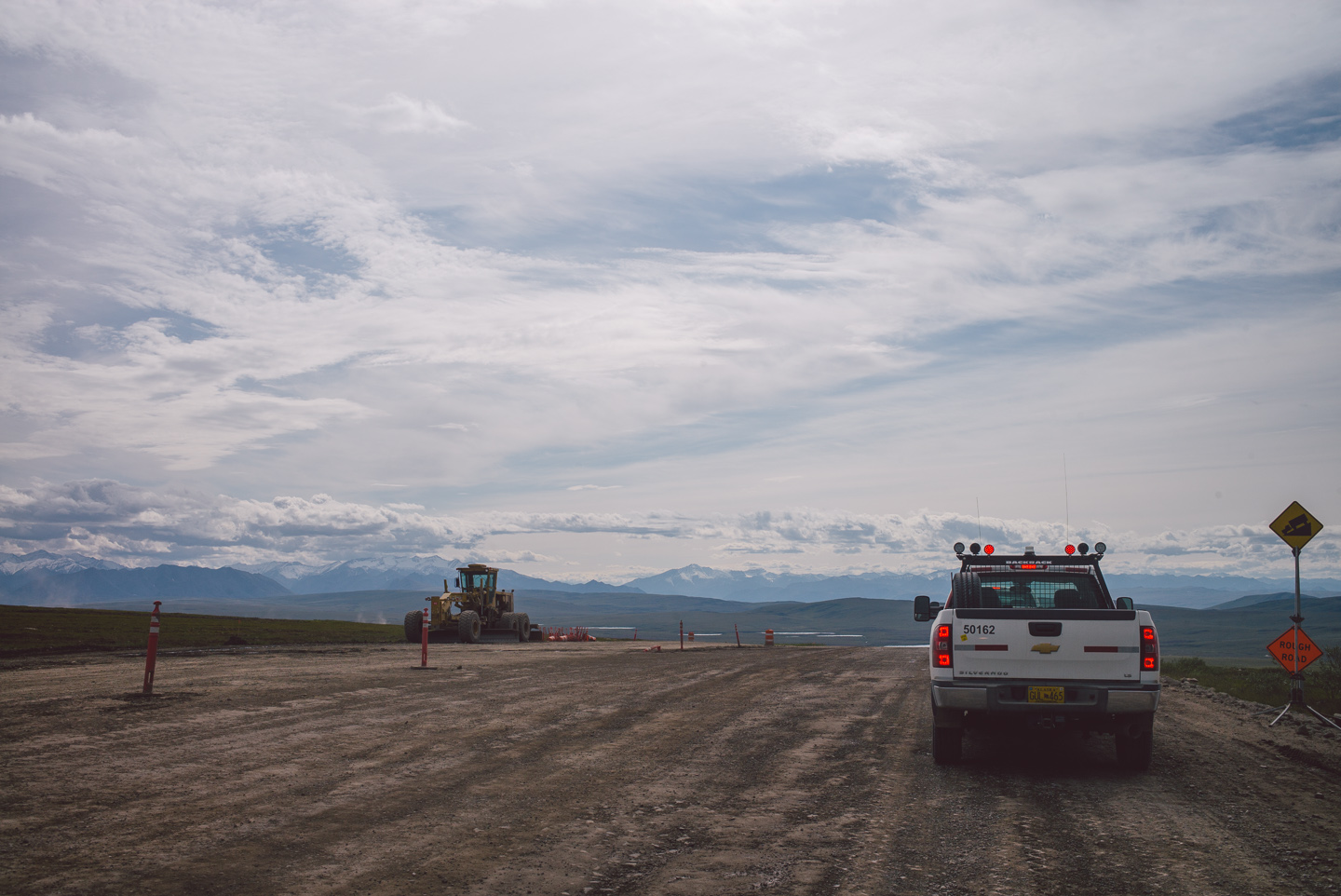
Right before the pass we met our friends working the road again, and once again got to go on a joyride behind the pilot car.
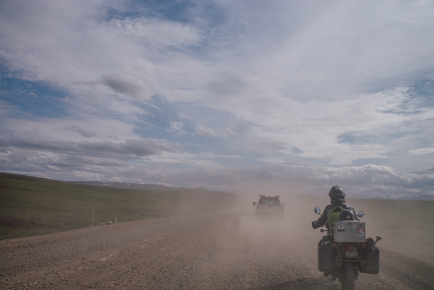
This time it was somehow even dustier, and visibility was near zero behind the car. The pilot car, as a true gentleman, led us into a few ditches and incredibly deep loose roadwork that had us stopping afterward shaking. It bears repeating that the times we had close calls to crashes on this ride, we were on the areas where the road was being worked on. It’s incredibly rough terrain as-is, but the road construction adds conditions to that that ideally should never be crossed on two wheels.
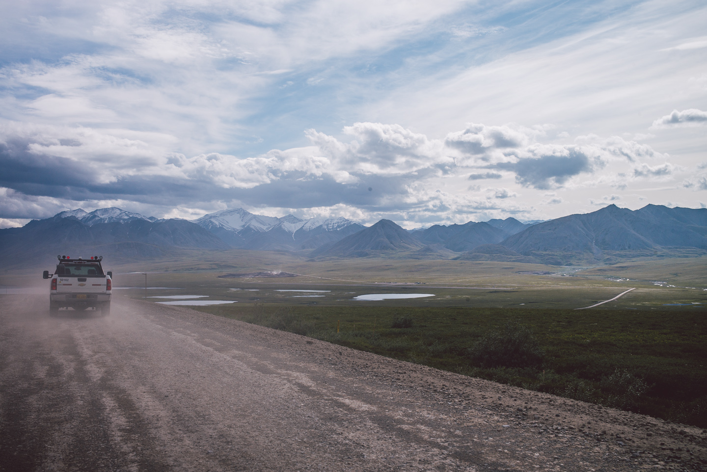
Ah, but the view rewarded us for our perseverance down this road. This is where will let the pictures speak for themselves.
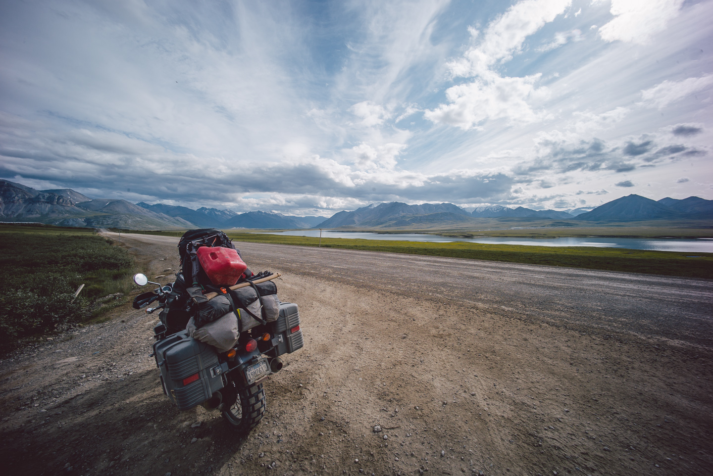
There are no words.
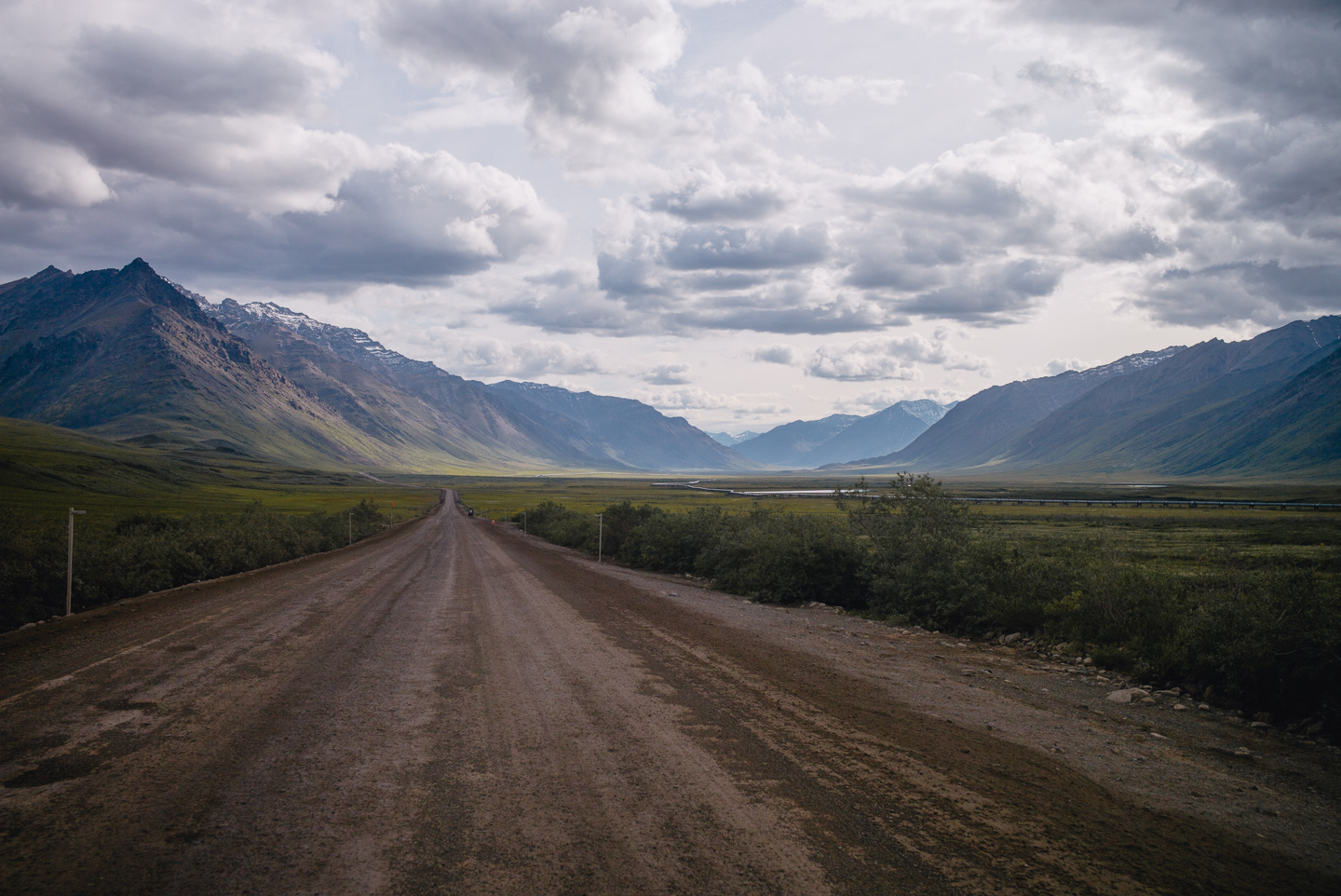
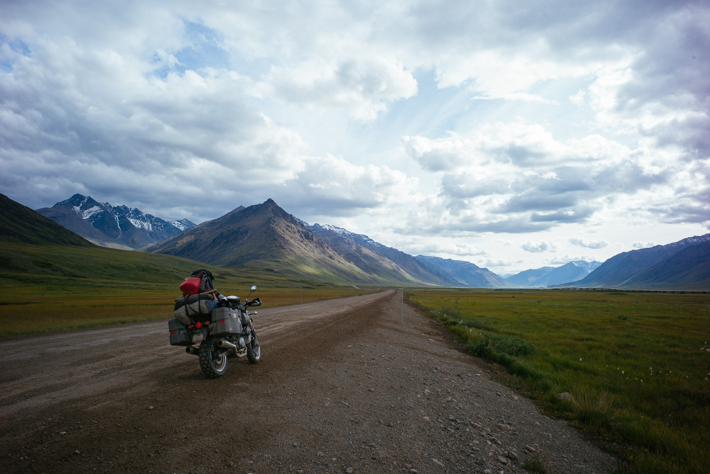
We had several photography stops here where we took photos which of a landscape I’ll remember for my entire life as being the most incredible I’ve ever seen. The light and terrain played together in such a way that was again, impossible to truly capture in any way.
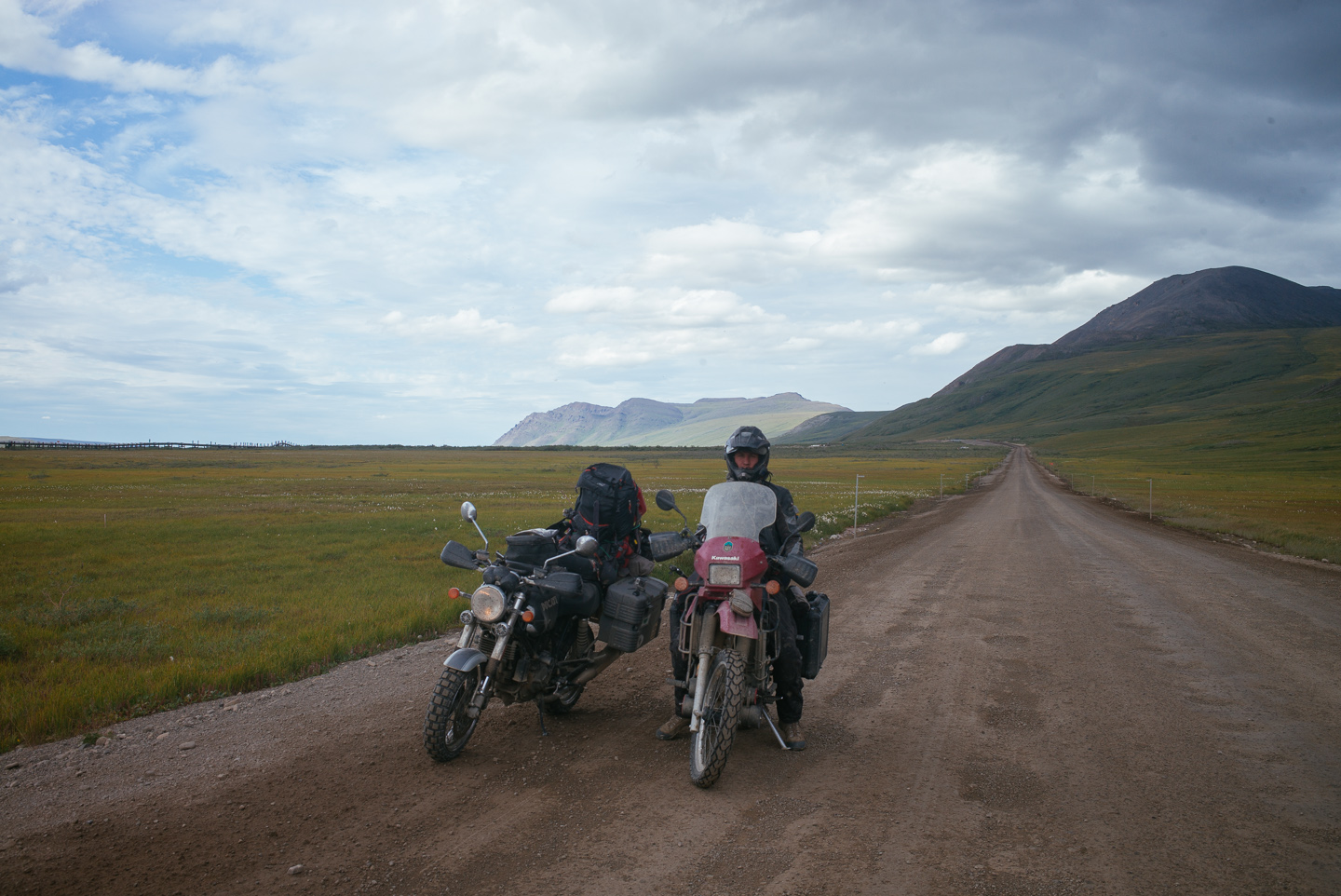
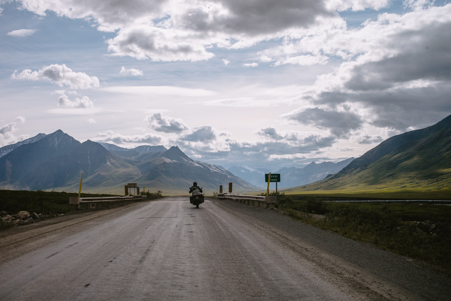
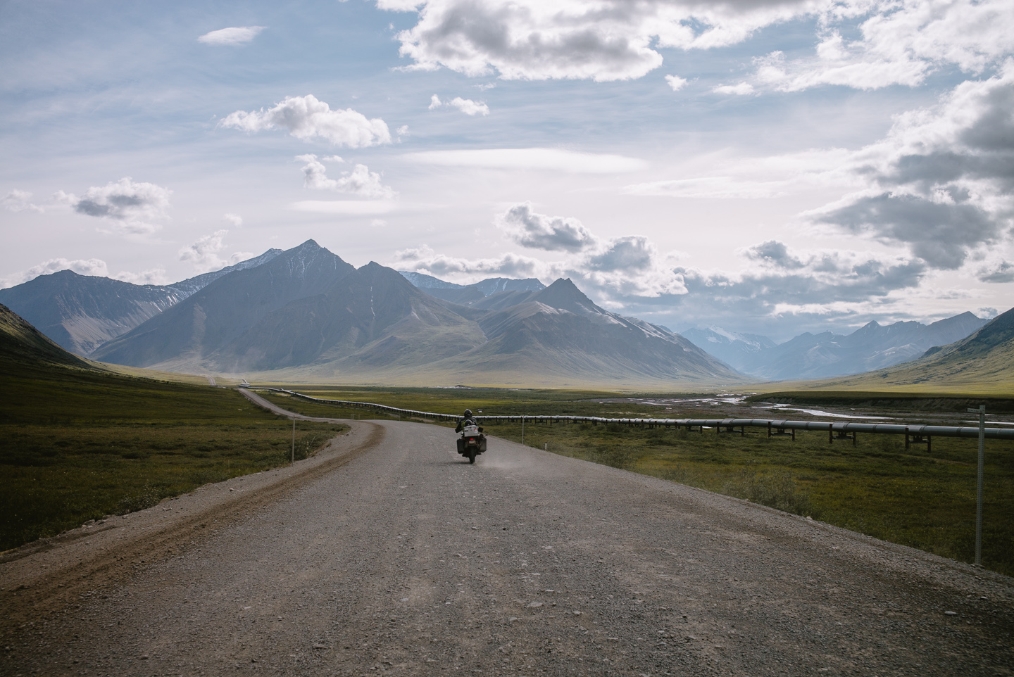
We crossed Atigun Pass again in strong winds and with even looser gravel, so I took few photos of our cresting it. Once below on the other side, the clouds got thicker and the light stranger.
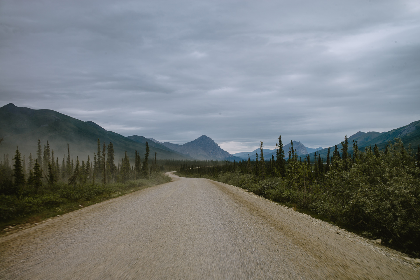
Dust whipped up by trucks had settled in the woods around us, as there was barely any wind to move it.
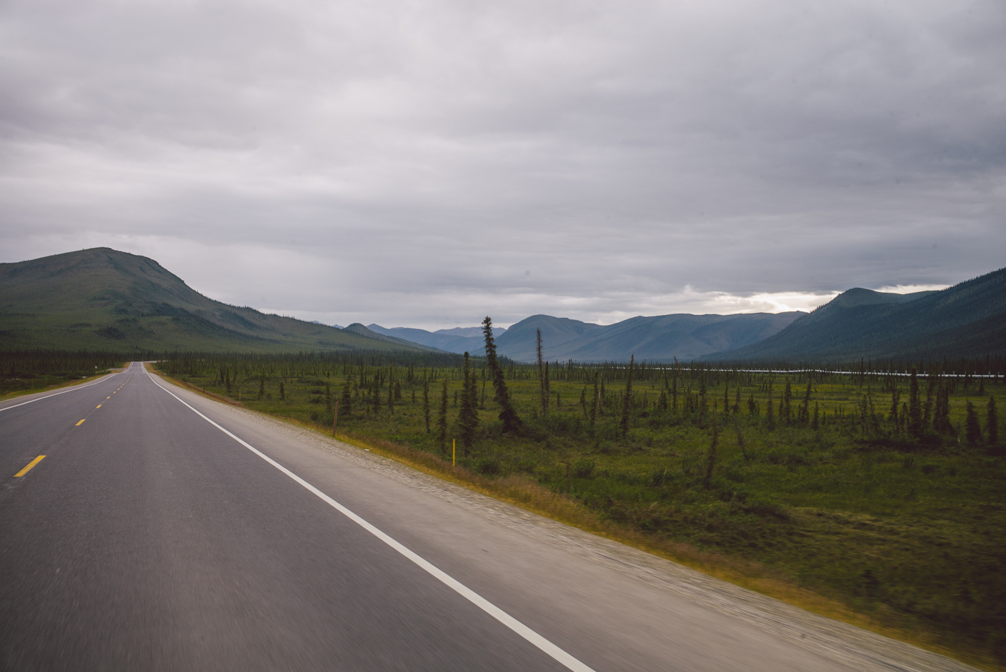
We were back in the land of trees and vegetation!
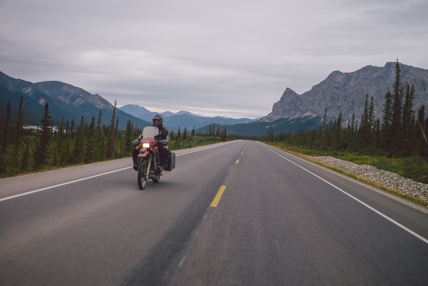
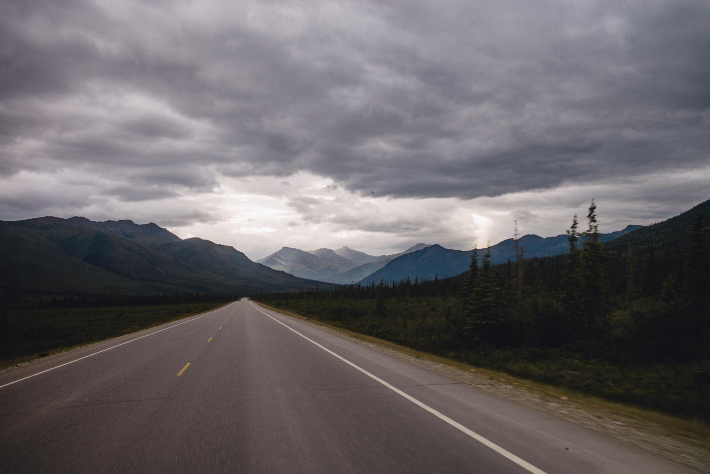
Clouds got darker and ever more ominous ahead looming over the last foothills of the Brooks Range…
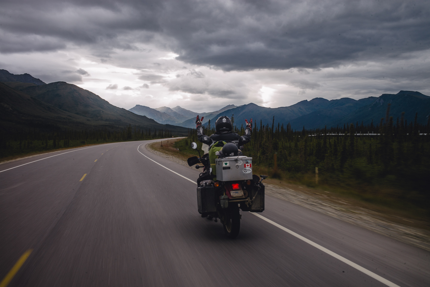
It made for awesome riding.
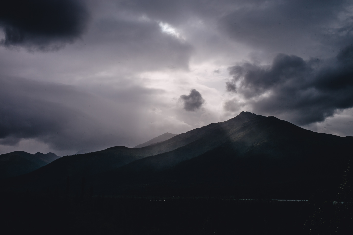
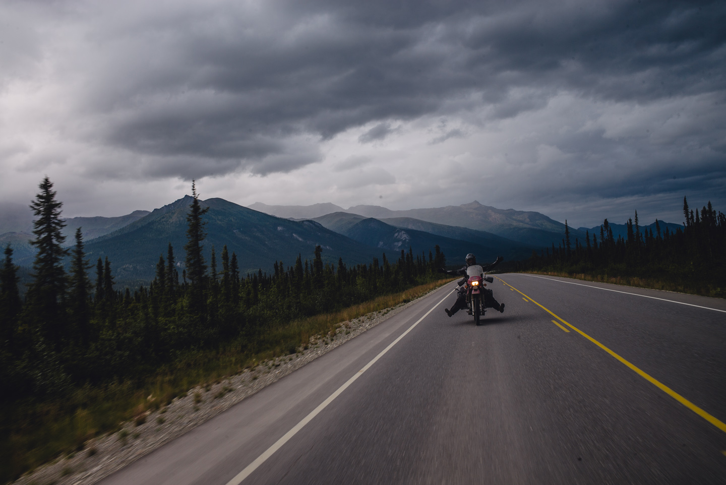
We were happy to be back on solid pavement, as well. We’d decided to ride until Fairbanks, riding the entire 500+ mile stretch in a day.
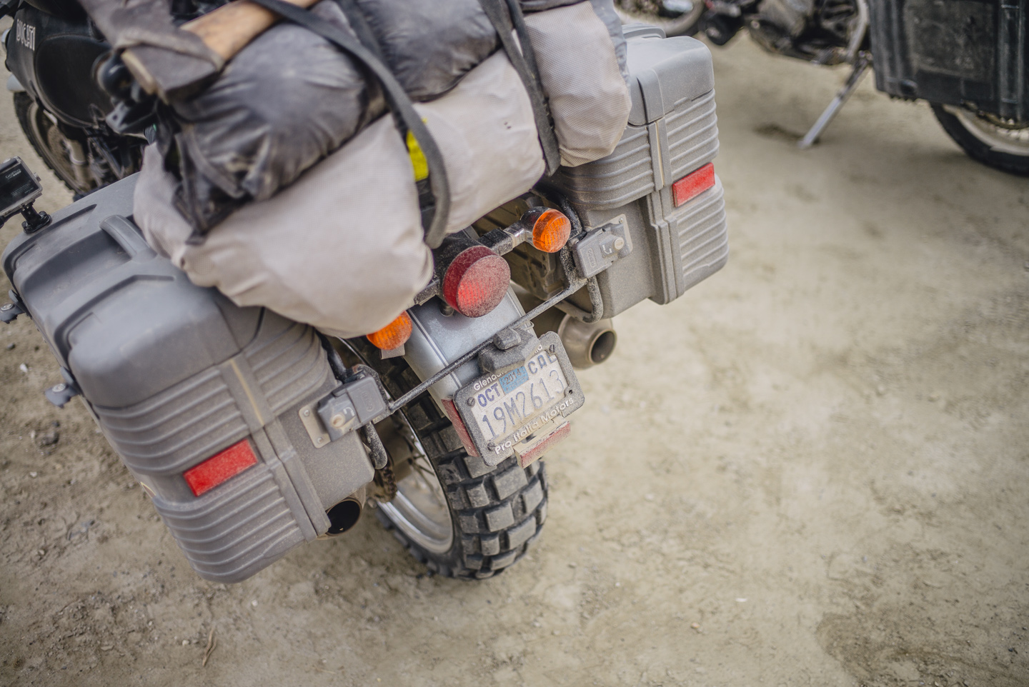
A quick, welcome stop in Coldfoot shows the dustiness of the bikes quite well. The dust got on and in everything, my camera completely inundated with it as well.
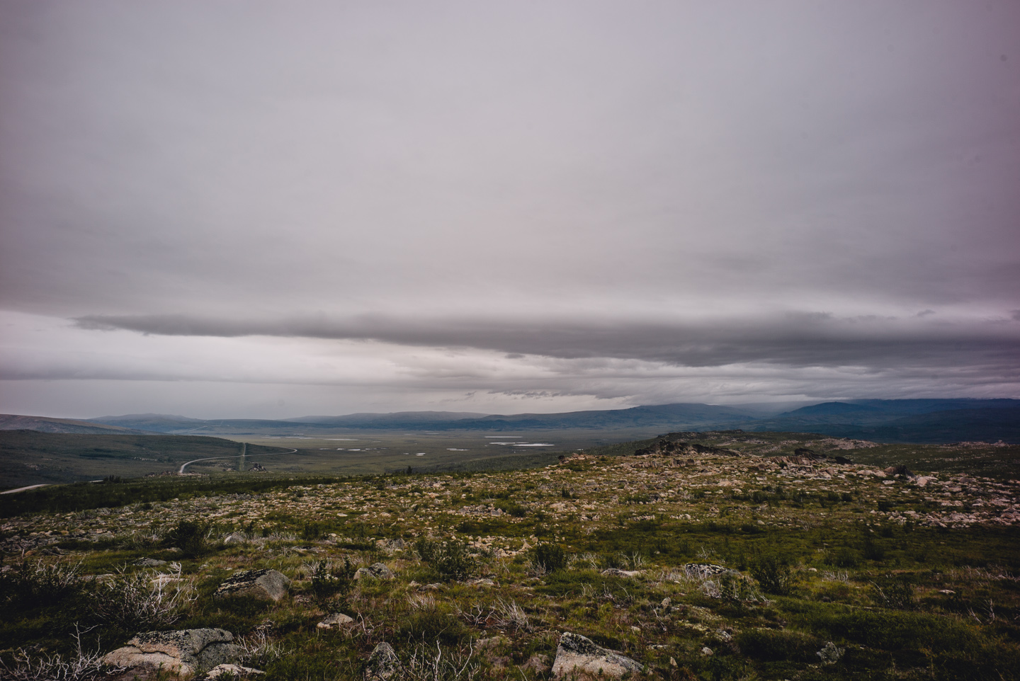
This is where the rain caught up with us. We rode for hours in the rain until we passed Finger Mountain again, where there was a short break in the rainy weather. I filled up with my spare gas can here and enjoyed the view.
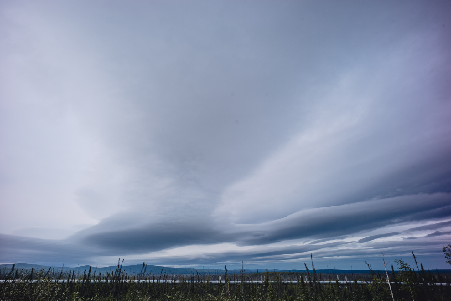
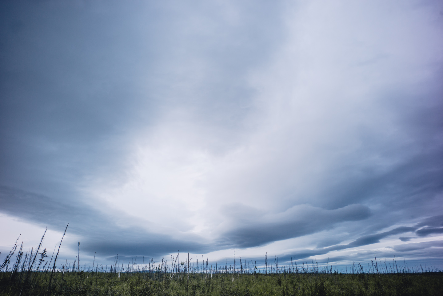
From there on out, we had somewhat dry conditions and ever less light as we rode into the night. Long round clouds hung over the last stretch of the Dalton like giant spaceships.
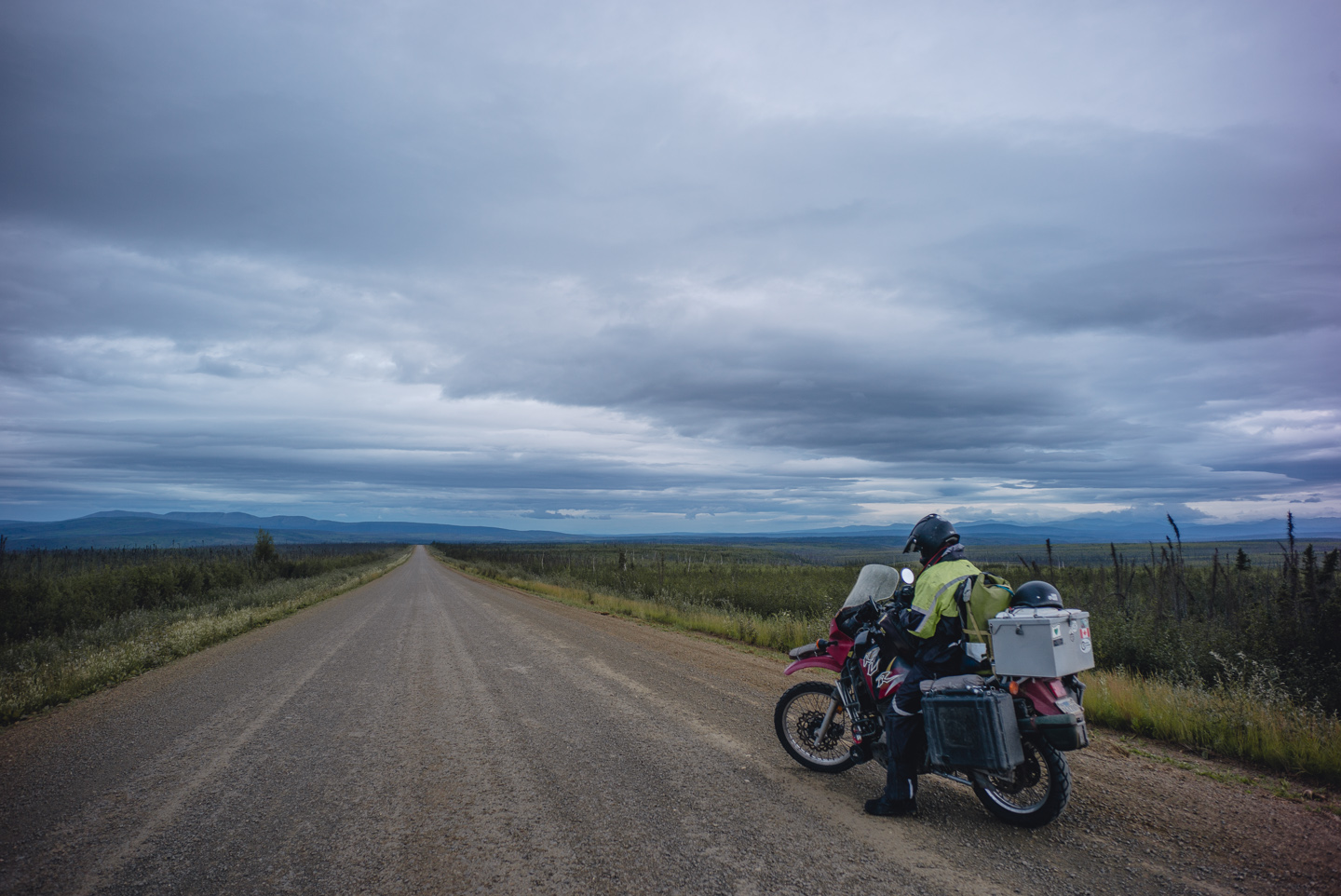
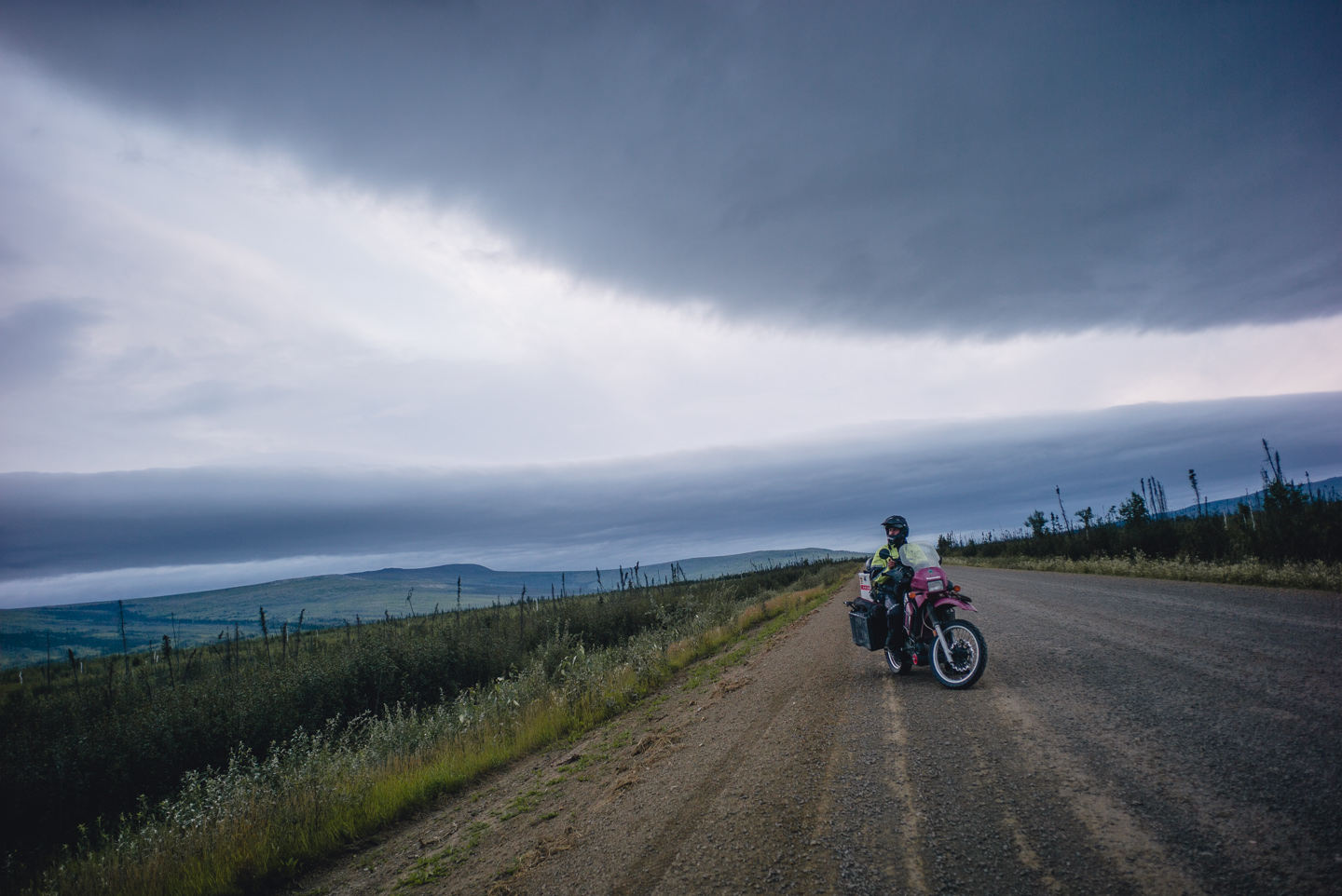
It prompted us to stop a last time to take some photos, take in the incredible road we traveled so far. I can recommend the Dalton to anyone – it is an incredible place on Earth that will spark thought and inspiration into any mind and satisfy any craving for a thrilling adventurous road.
Next week, I will detail our short (1-day) roaring ride from Fairbanks to Skagway, Alaska (over 700 miles!) which didn’t go over without a hitch, and the first segment of the ride back home. The Ride North is now officially a Ride South!
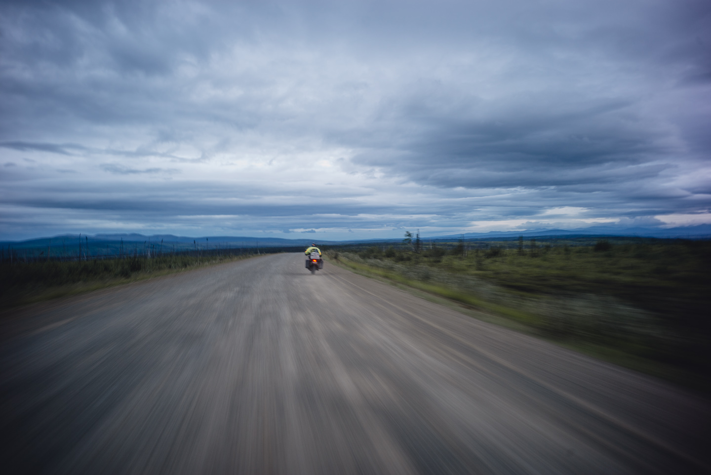
Wallpapers for the week have been sent out, and as you can imagine, more will be sent later of the Dalton Highway. There’s simply too many great shots we took here. If you’d like to be on the wallpaper list, please reach out.


Comments are closed.