With any trip, preparations are essential. Our Ride North to Alaska is no different. In the next two weeks leading up to our departure, I will share our preparations and techniques of packing, preparing and otherwise getting ready for an intense trip of a lifetime.
If you haven’t yet, please support our Kickstarter for a photo book!
Road trip planning is a fun thing to do: you get to stare at a lot of maps and get excited about the many points of interest along your route. For motorcycle trips, there’s additional things to take into consideration, and for a ride this far and through potentially difficult conditions and areas even more so. Read along to see how we have planned out Ride North!
The enthusiasm of drawing a line all over the Pacific Northwest is quickly curbed by the lack of great tools to plot that route. Google Maps only allows for a handful of points, all other tools might as well be for expert cartographers with a billion options, unnamed icons and buttons and very complex maps and expensive licenses.
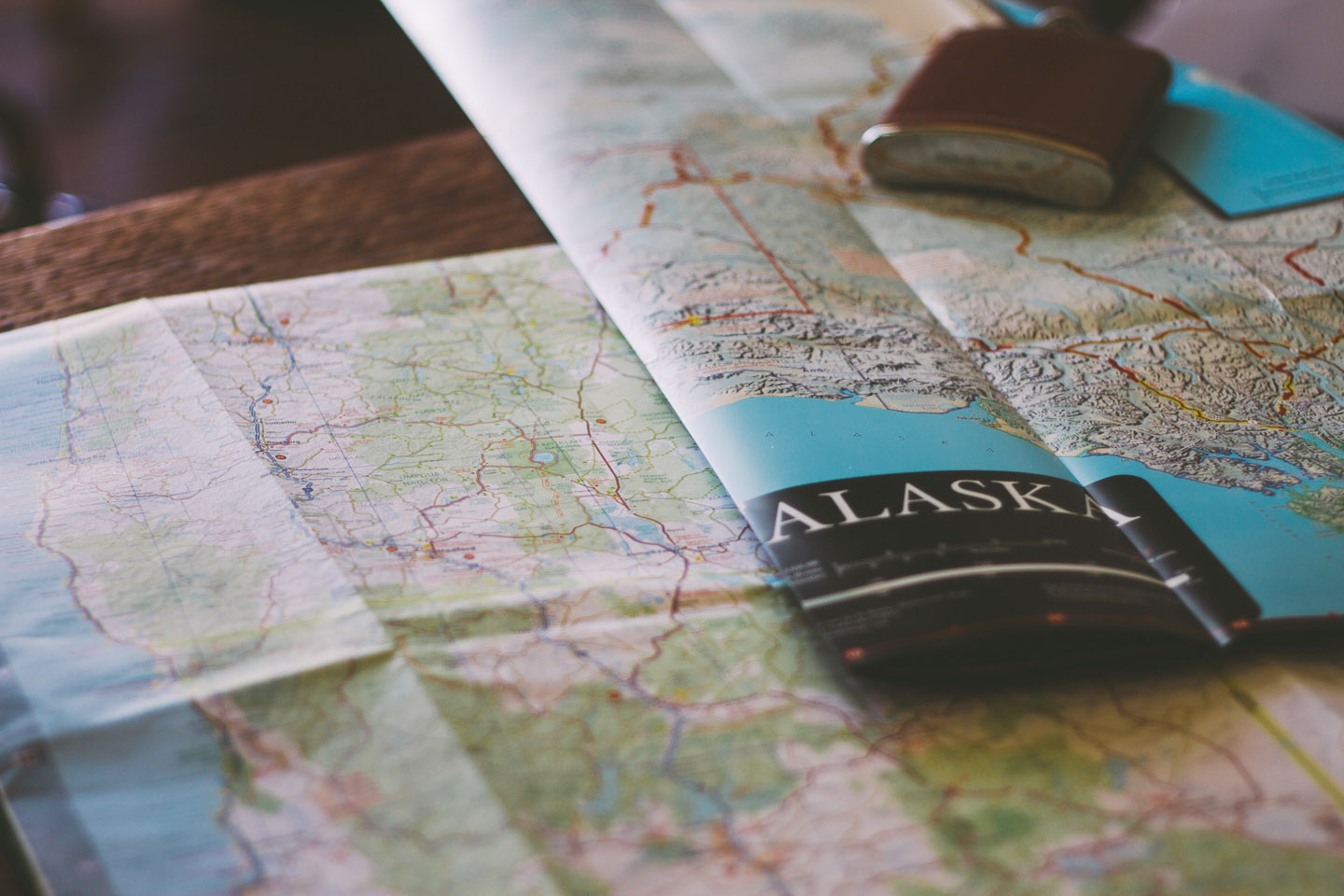
Our solution is fairly simple: still use Google Maps, while also referencing good old fashioned paper maps we can use when we are on the road. Relying on just GPS or your phone for maps is always a bad idea. You can easily plot more than the 20-or-so maximum of Google Maps with Roadtrippers‘ road trip planning web app. Here’s what our route looks like online:
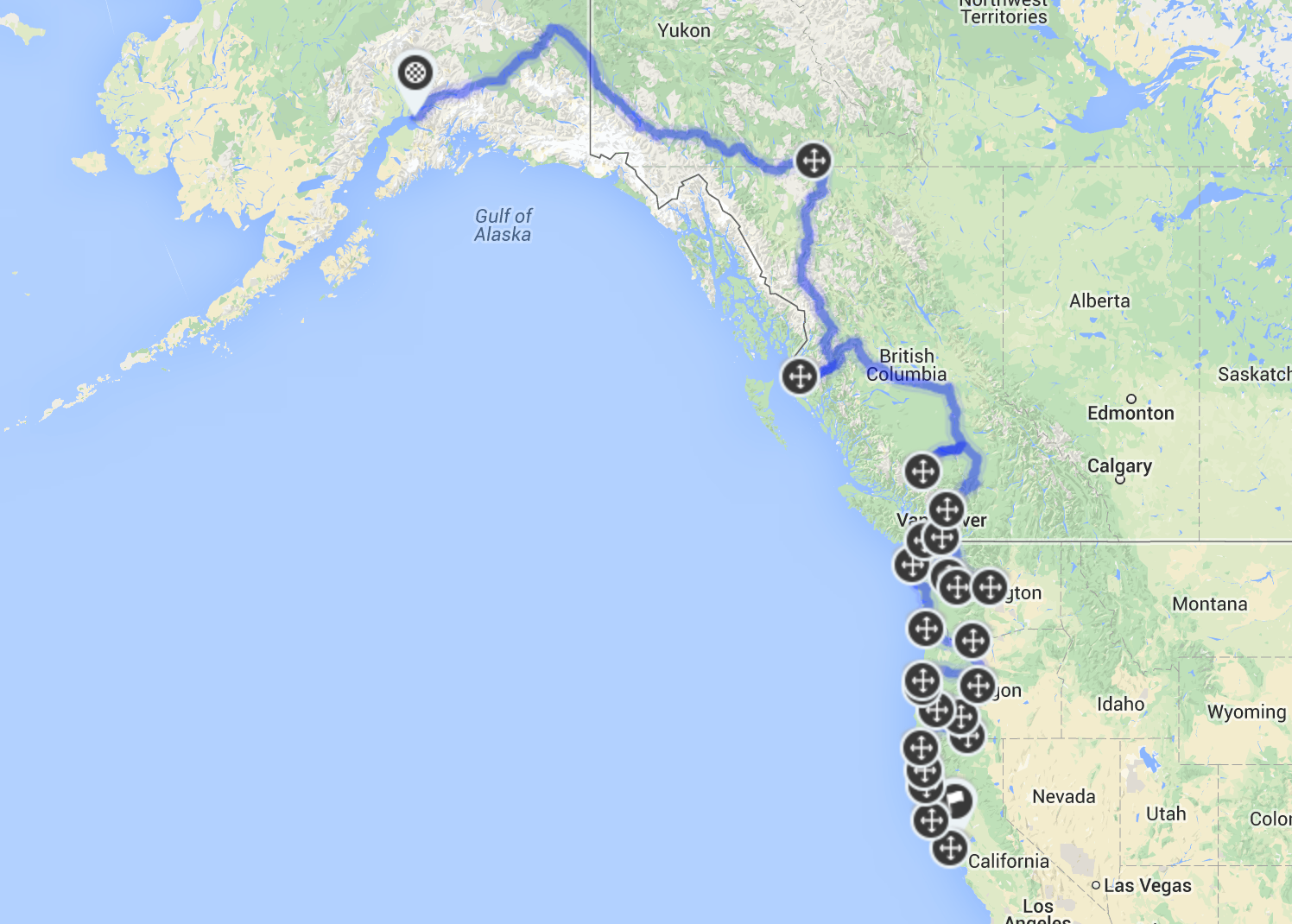
The bottom three states look very ‘busy’ due to additional waypoints, and that’s because we’ll be practically zig-zagging through them from National / State Parks and cities, while also trying to visit the most beautiful spots on the coast.
A good plan for a motorcycle trip consists of two main routes: the road we want to take, and the road we have to take. The latter is a solid fall-back in case things go wrong, or we have to make a certain date for some reason and need to make miles. Things can and do go wrong on trips – I am of the opinion that it’s not an adventure until things go wrong – and having to chart the fastest route while in the boonies isn’t fun.
Roadtrippers neatly sums up the distance and time needed for every point on the map, which lets us roughly plan days. We keep a list of campgrounds and secondary points of interest along the route that allows us to change plans on a whim.
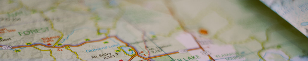
Our initial week will take us from San Francisco, up the Pacific Coast Highway and through some fantastic Coastal Redwood forests and eventually though into Oregon. We’ll be hitting up Crater Lake first, and then riding out to several other spots.
Your feedback along this ride is always welcome – do get in touch with us with tips or if you want to get a beer as we travel through!
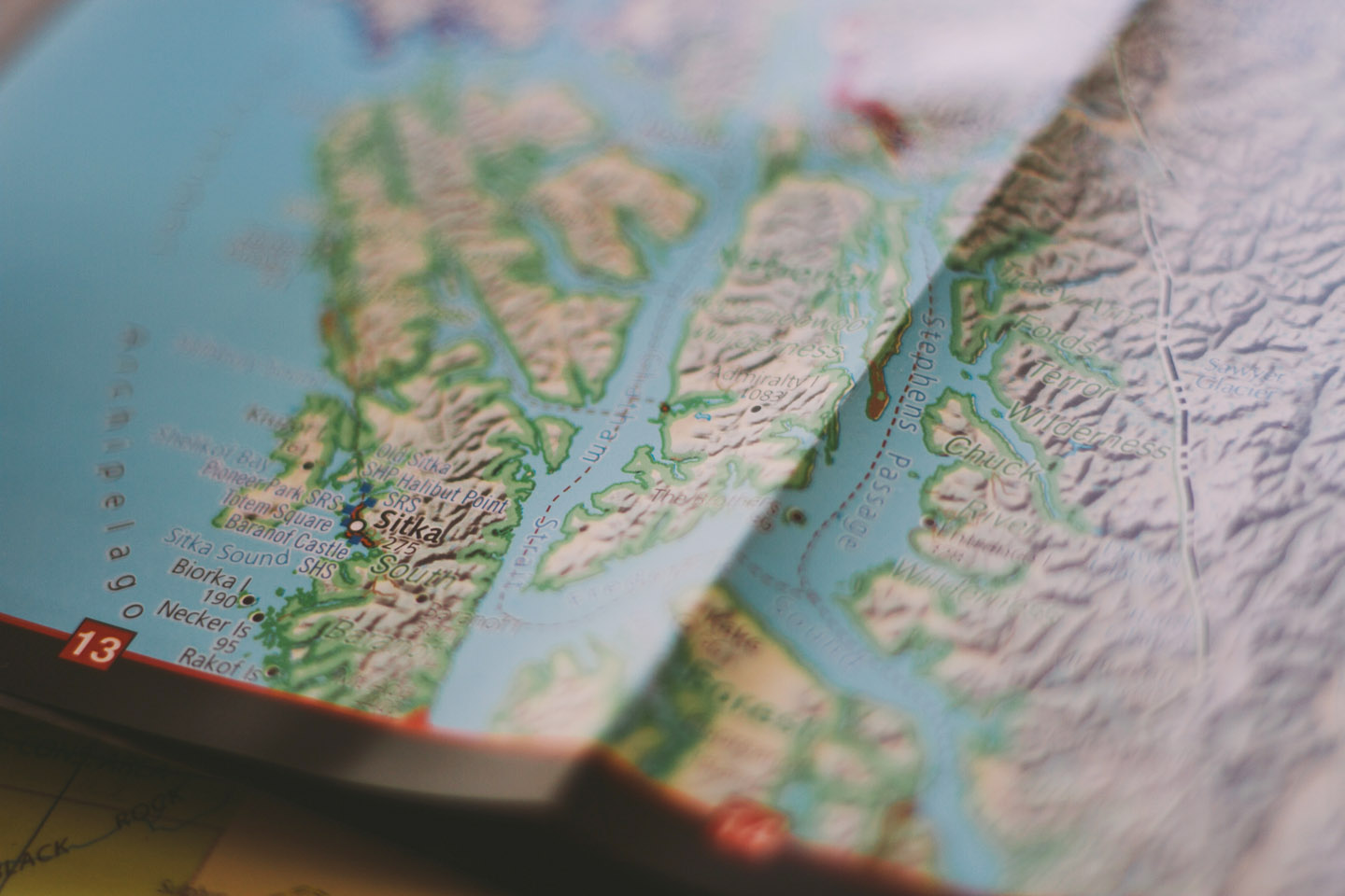
We sourced maps from National Geographic (Adventure Maps), AAA and Butler Motorcycle Maps. Check them out if you are planning a route of your own. I can highly recommend the Alaska Milepost guide and Adventurous Motorcyclist’s Guide to Alaska as well.
Comments are closed.